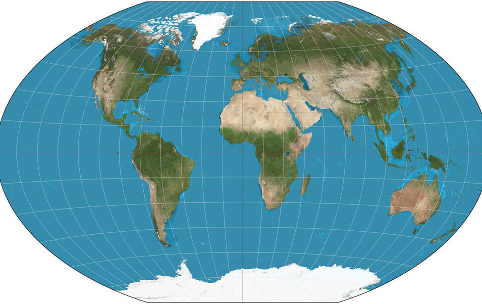
Clickable World Map with Countries
Portugal Time Zone Map
For Content Detail
Latest Updates
Clickable World Map with Countries
Use this interactive world map to explore countries around the globe with ease. Simply move your mouse over any country to highlight it and view its name, then click to be directed to that country's dedicated map page. This clickable map makes it easy to navigate between countries, discover detailed maps, and access geographic information quickly
Use this interactive world map to explore countries around the globe with ease. Simply move your mouse over any country to highlight it and view its name, then click to be directed to that country's dedicated map page. This clickable map makes it easy to navigate between countries, discover detailed maps, and access geographic information quickly
World Countries' Maps
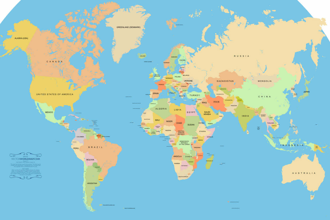
A Collection of World Maps
Navigate World Map, world countries map, satellite images of the World, World largest cities maps, political map of World. World continents map, North America, Europe, Asia, South America, Africa, Oceania...
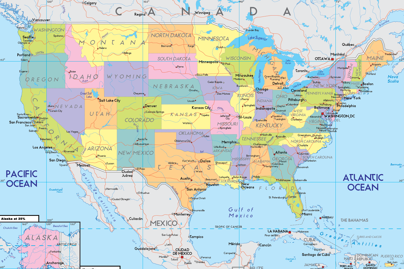
Largest States Map of US
With interactive US Map, view USA states, cities border map, regional highways maps, road situations, transportation, lodging guide, geographical map, United States physical maps and more...
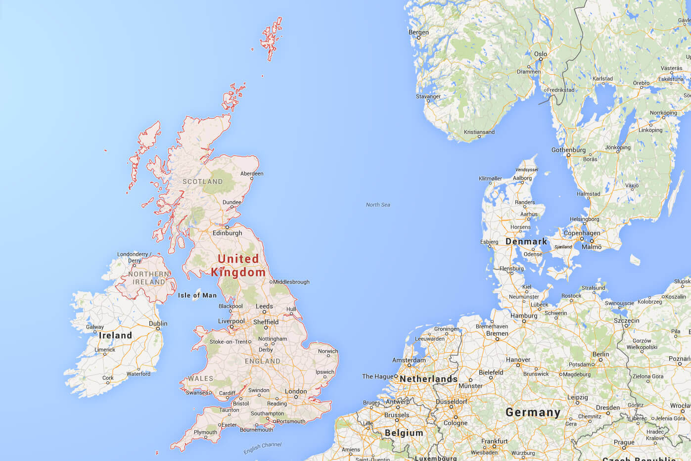
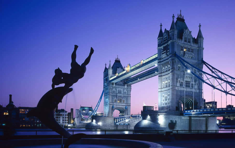
Largest Cities Map of UK
On United Kingdom Map, you can view all UK countries, regions, cities, towns, districts, avenues, streets and popular centers' satellite, sketch and terrain maps. Find desired maps by entering...
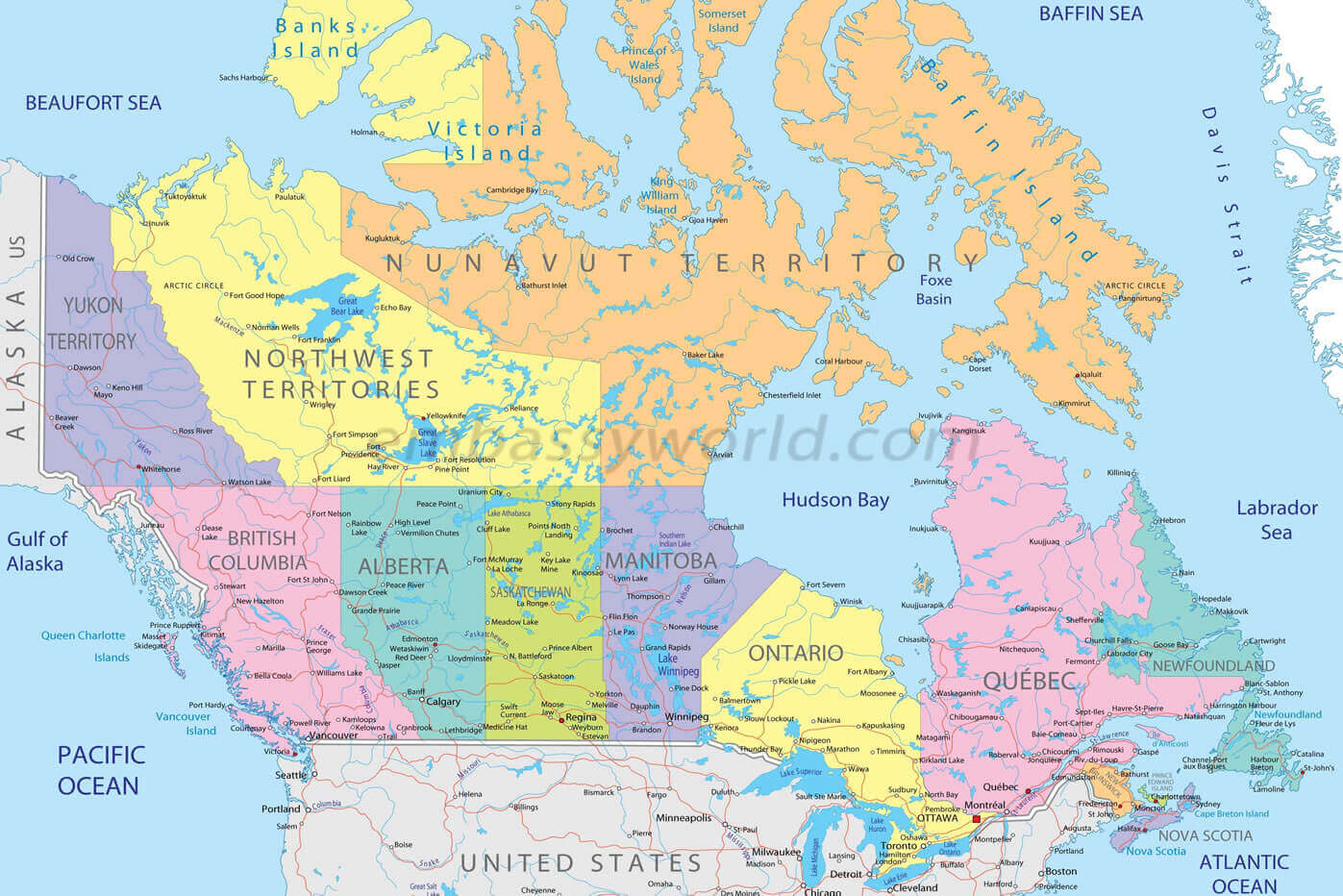
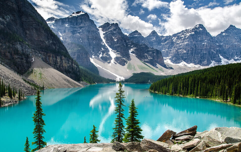
Largest Cities Map of Canada
Canada countries map, satellite images of the Canada, Canada largest cities maps, political map of Canada, driving directions and traffic maps. With interactive Canada Map, view regional highways maps...
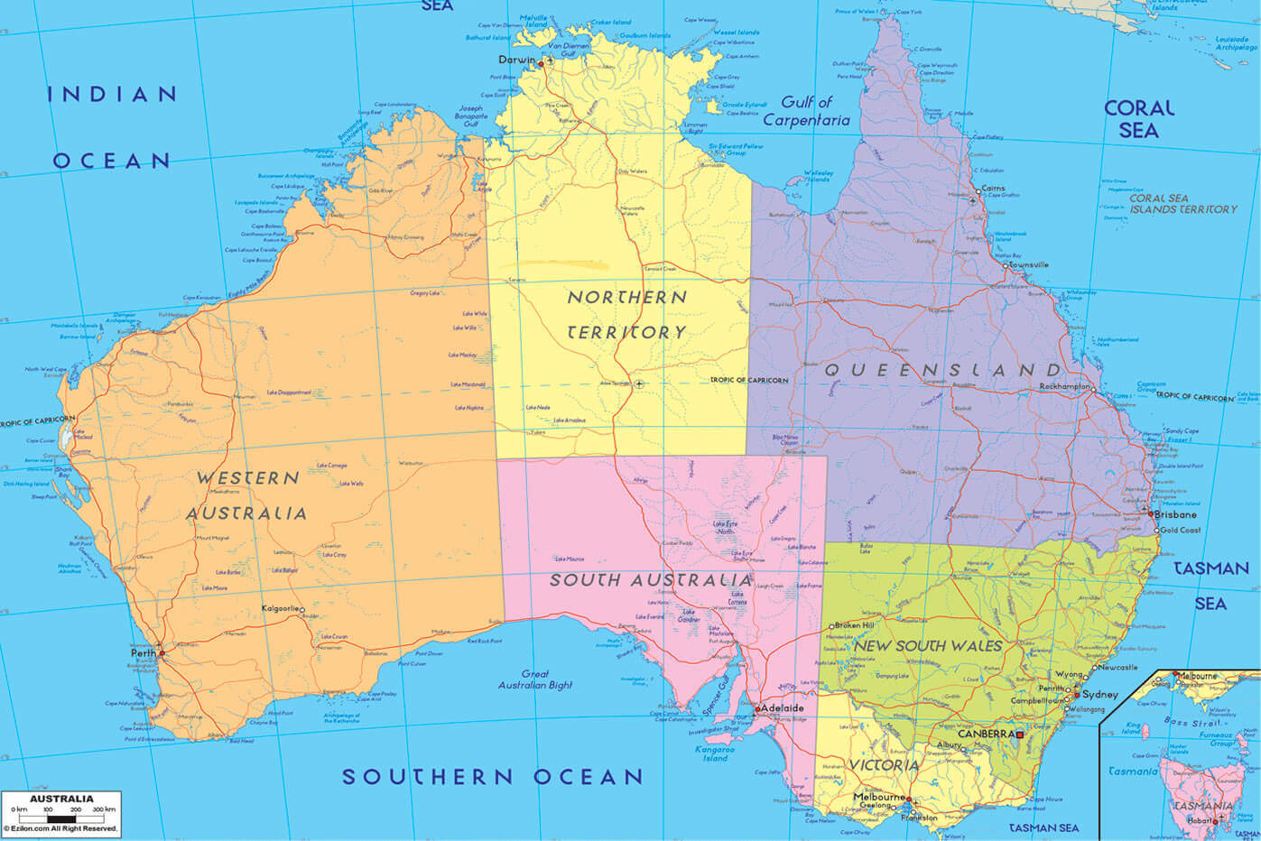
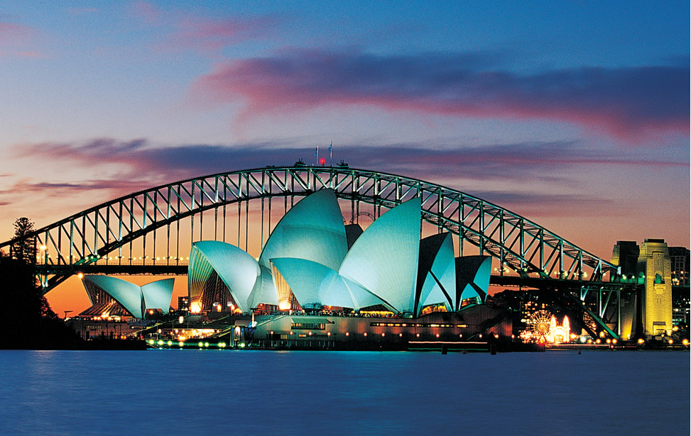
Largest Cities Map of Australia
Continent Oceania's Australia Map, satellite images of the Australia, Australia largest cities map, political map of Australia, driving directions, deserts regions, aboriginal reservation and...
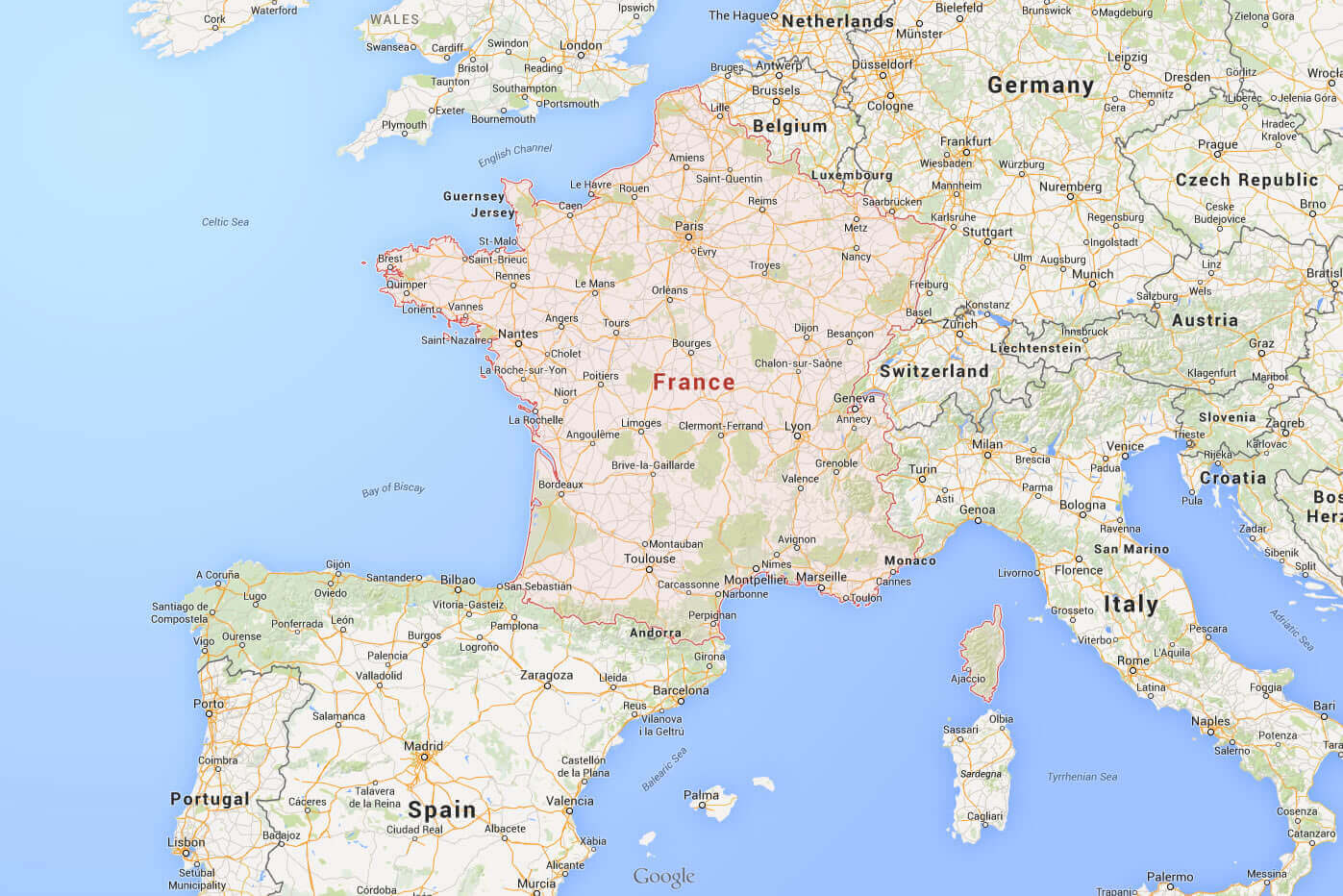
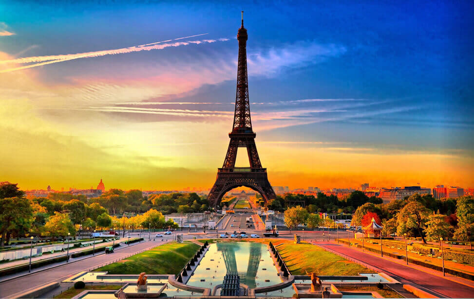
Largest Cities Map of France
Europe's fashion and tourism capital of France map, France cities, towns maps, satellite images of France, France largest cities Paris, Lyon maps, political map of France, autoroutes and traffic maps...
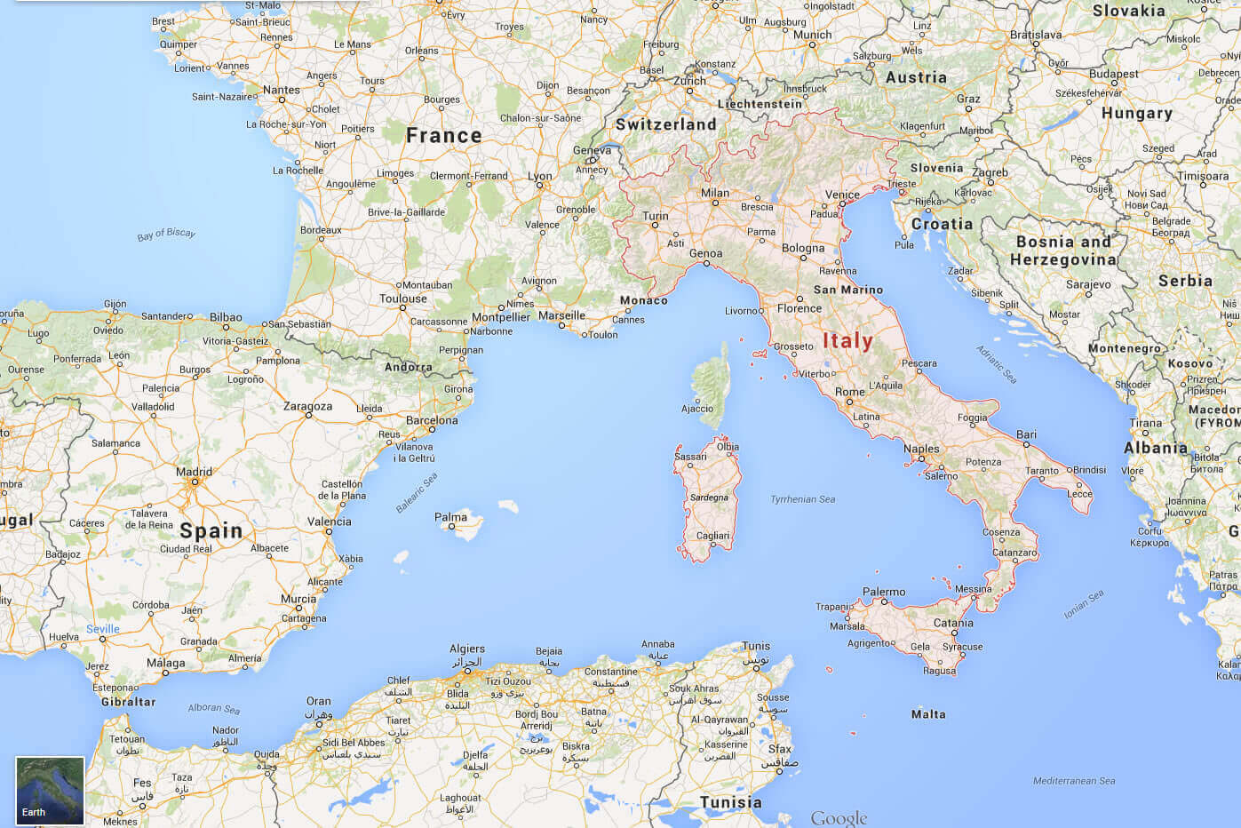
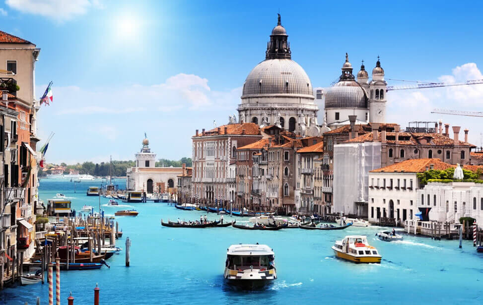
Largest Cities Map of Italy
Ancient Roman Country Italy Map, ancient time and modern time cities map, satellite images of the Italy, largest cities maps, political map of italy, driving directions, tourist guide and traffic maps...
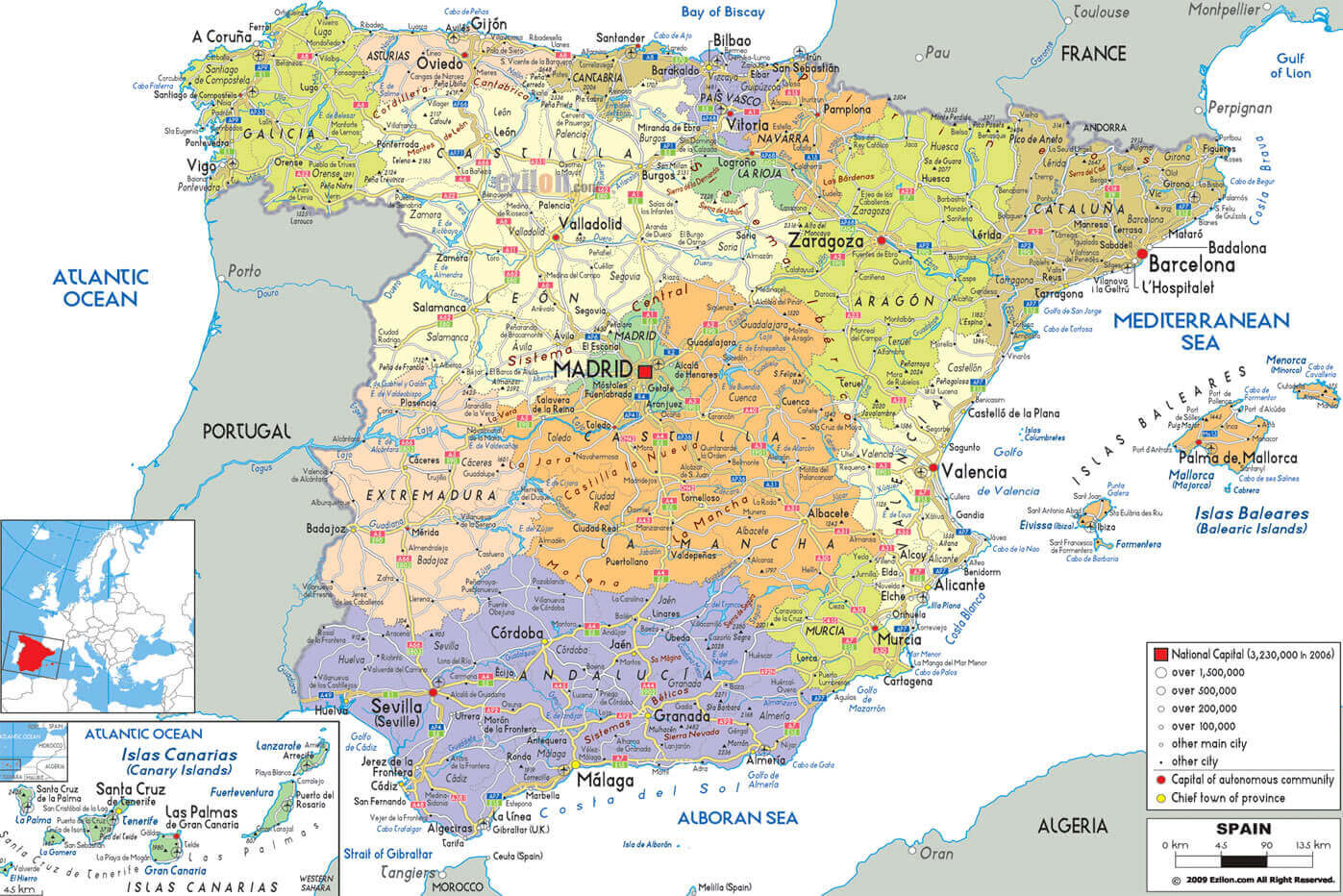
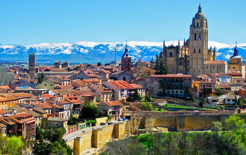
Largest Cities Map of Spain
Tourist attraction map of Spain, Kingdom of Spain, Europe's Iberian Peninsula map, road map, transportation, metro guide, geographical map, physical, political maps and more information...
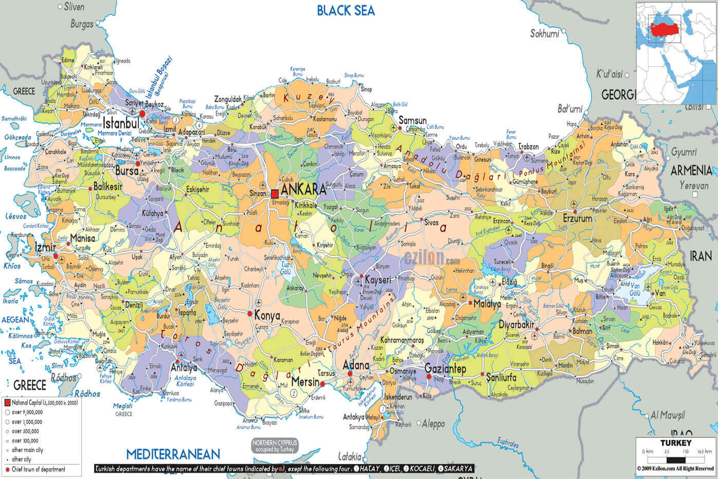
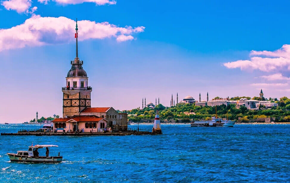
Largest Cities Map of Turkey
Where Asia and Europe meets historical Ottoman country Turkey Map, Turkey's cities touristic plan, satellite images of the Turkey, Turkey's most visit tourist destinations ersorts map, driving...
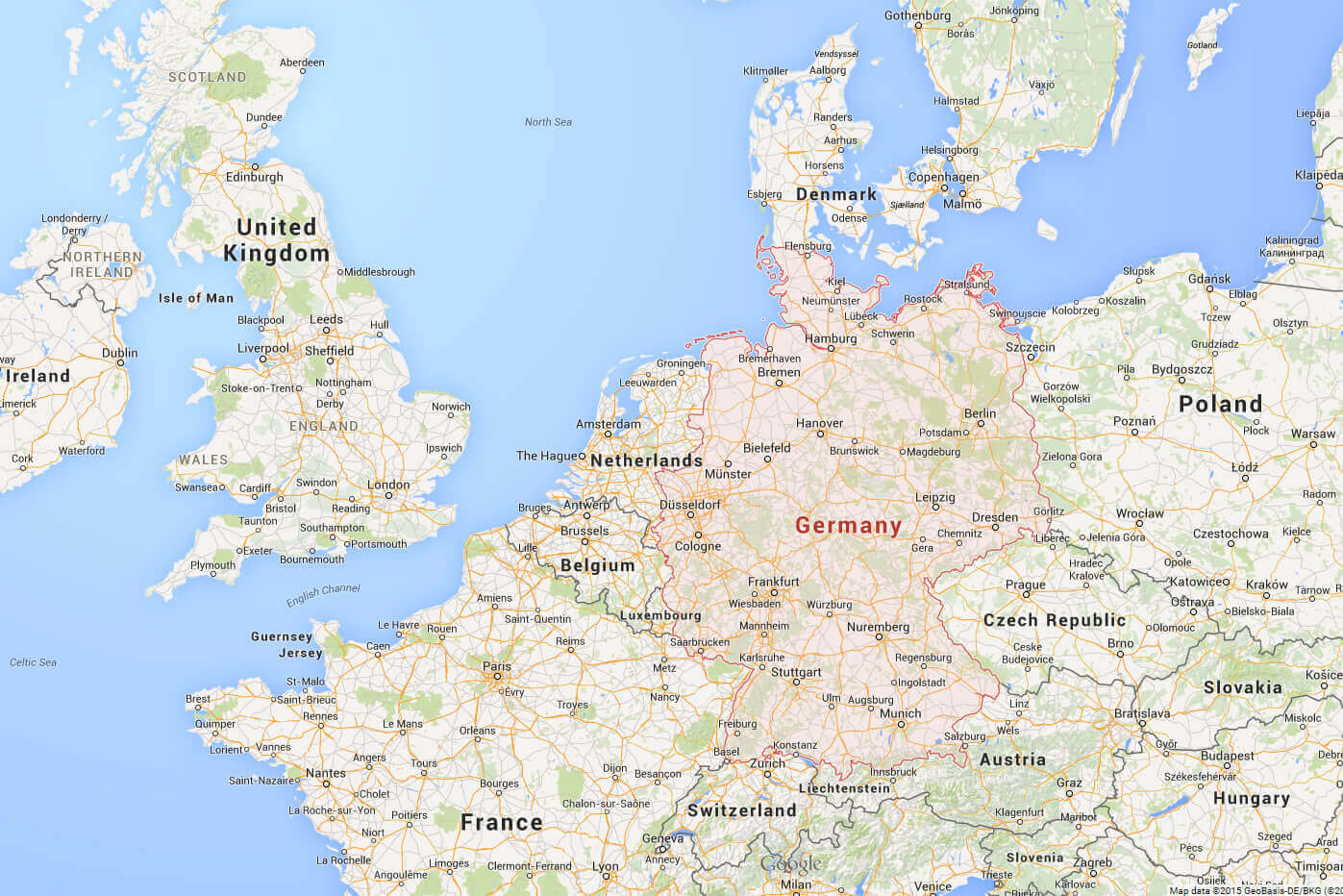
Largest Cities Map of Germany
Europe's economic power of Germany's Map, Germany cities map, satellite images of the Germany, Germany largest industrial cities maps, political and physical map of Germany, autobahn directions... more
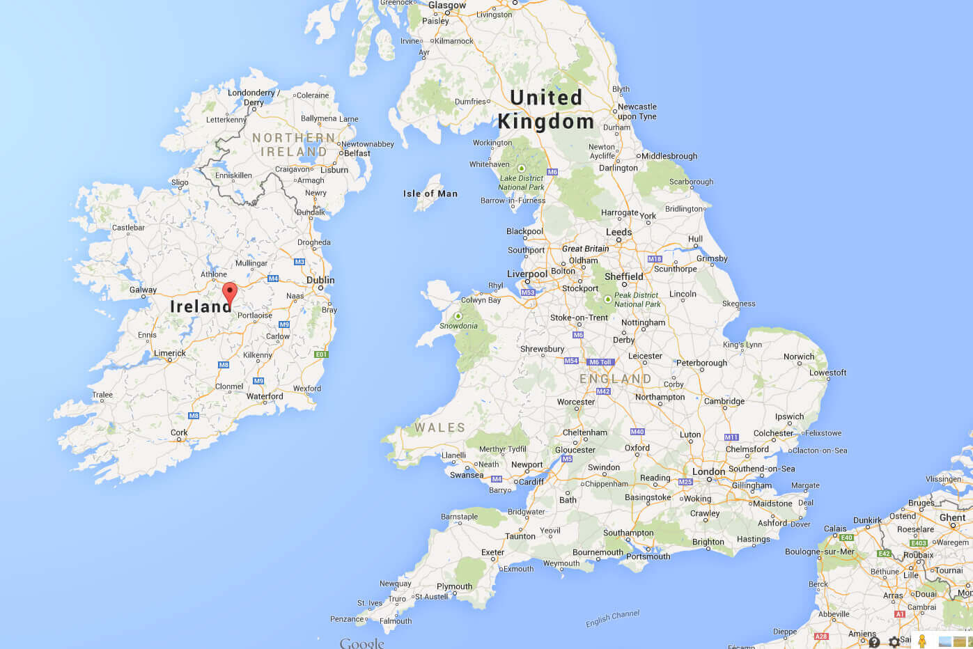
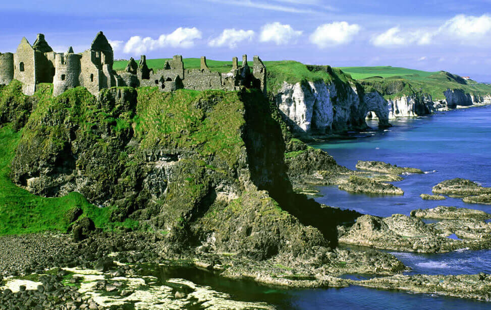
Largest Cities Map of Ireland
Ireland has a population of 4,588,252 people, Ireland's capital city is Dublin and largest city Dublin. Ireland official languages and mostly spoken dialects are Irish, English, ethnics groups : 87% Irish...
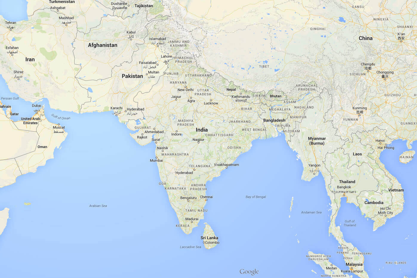
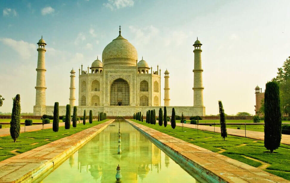
Largest Cities Map of India
India has a population of 1,210,193,422 people, India's capital city is New Delhi and largest city Mumbai. Its currency Indian rupee (INR) . india official languages and mostly spoken dialects are Hindi, English...
Destinations
World
World is a common name for the whole of human civilization, specifically human experience, history, or the human condition in general...

United States
The United States of America (U.S.A.), commonly referred to as the United States (U.S.) or America, is a federal republic consisting of 50 states...
United Kingdom
The United Kingdom of Great Britain and Northern Ireland, commonly known as the United Kingdom (UK) or Britain, is a sovereign state in...
Canada
Canada is a country in North America consisting of ten provinces and three territories. Located in the northern part of the continent...
Australia
Australia officially the Commonwealth of Australia, is an Oceanian country comprising the mainland of the Australian continent, the island...
France
France, officially the French Republic, is a unitary sovereign state comprising territory in western Europe and several overseas regions and...
Italy
Italy, officially the Italian Republic, is a unitary parliamentary republic in Europe. Italy covers an area of 301,338 km2...
Spain
Spain, officially the Kingdom of Spain, is a sovereign state located on the Iberian Peninsula in southwestern Europe. Its mainland is ..
Turkey
Turkey, officially the Republic of Turkey, is a contiguous transcontinental parliamentary republic largely located in Western...

Germany
Germany, officially the Federal Republic of Germany is a federal parliamentary republic in western-central Europe. It consists of 16 constituent states...
Ireland
Ireland is an island in the North Atlantic to the west of Great Britain, from which it is separated by the North Channel, the Irish Sea, and St Georges Channel, and after
India
India, officially the Republic of India is a country in South Asia. It is the seventh-largest country by area, the second-most populous country with over 1.2 billion people...