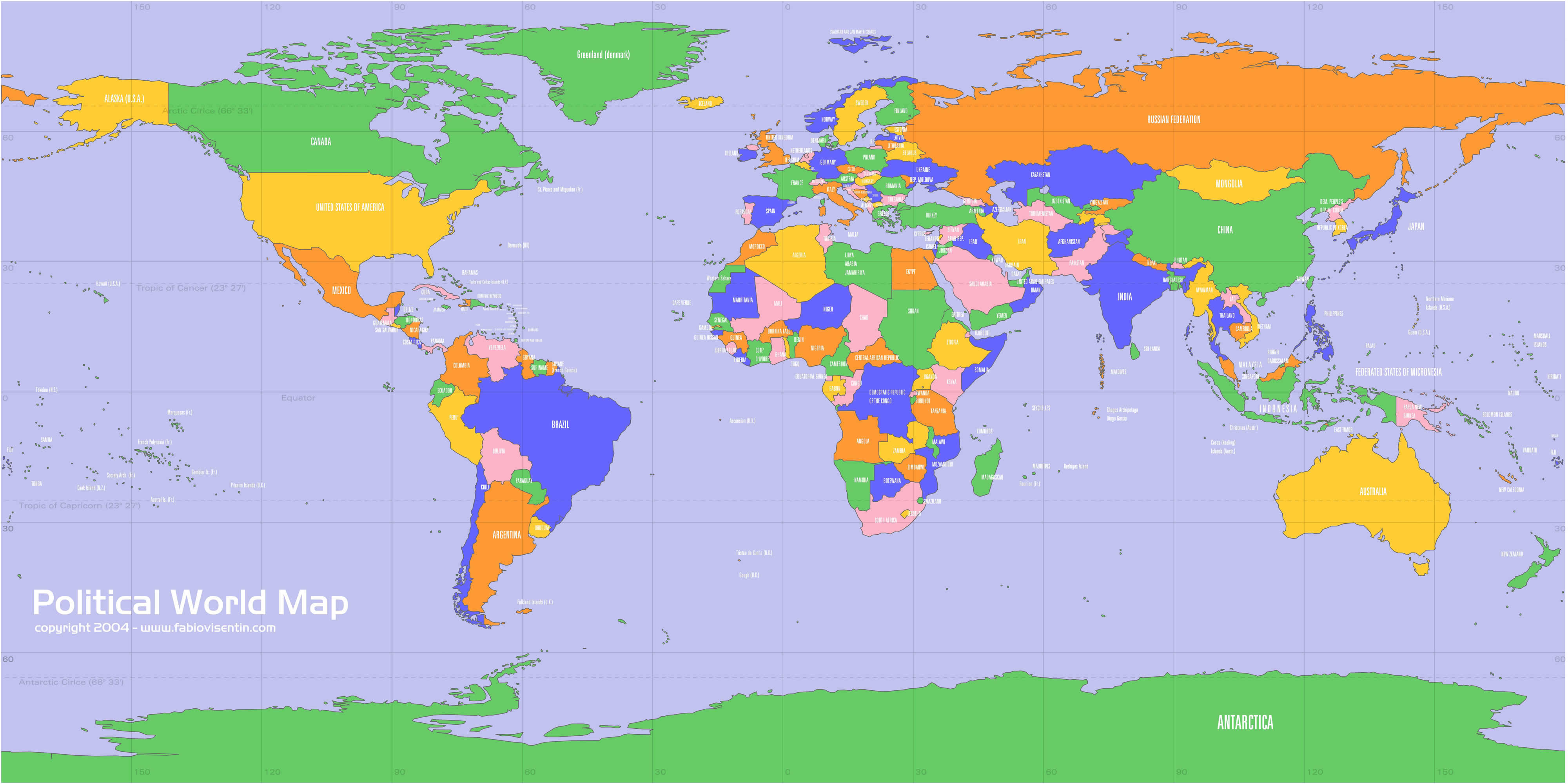
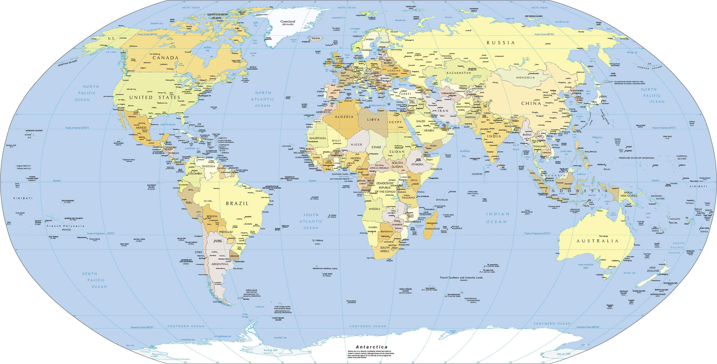
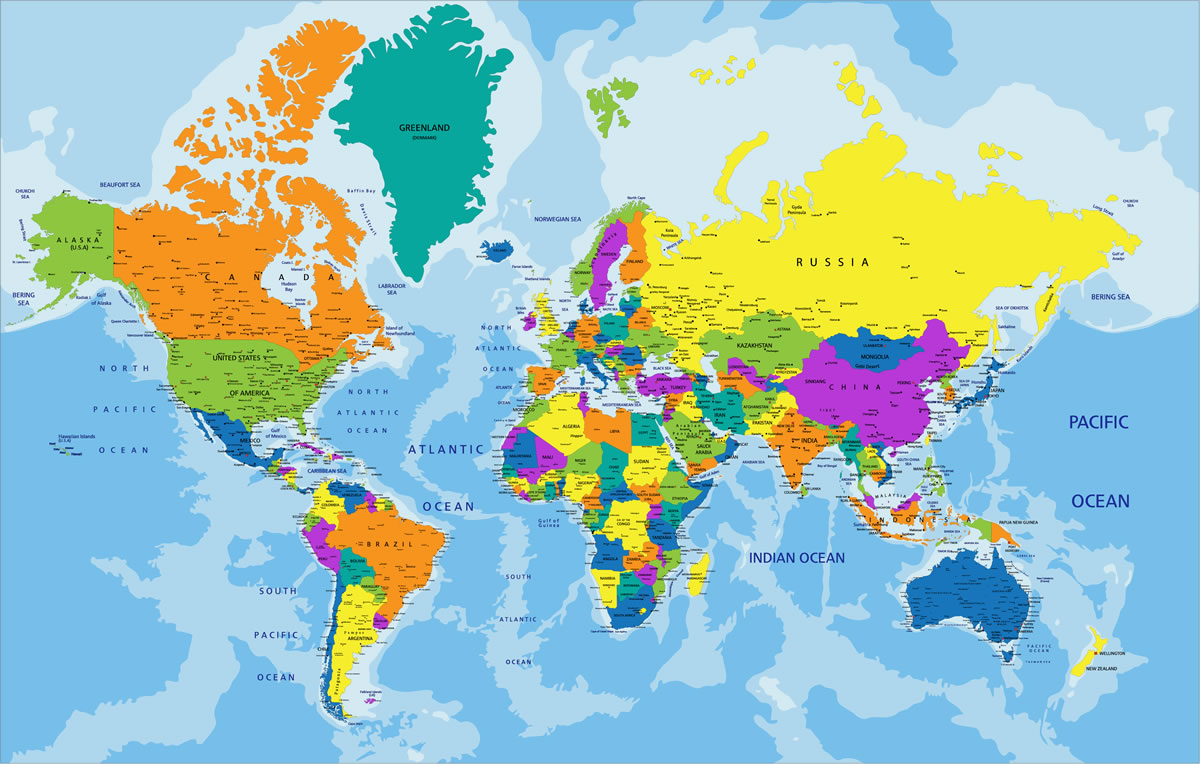
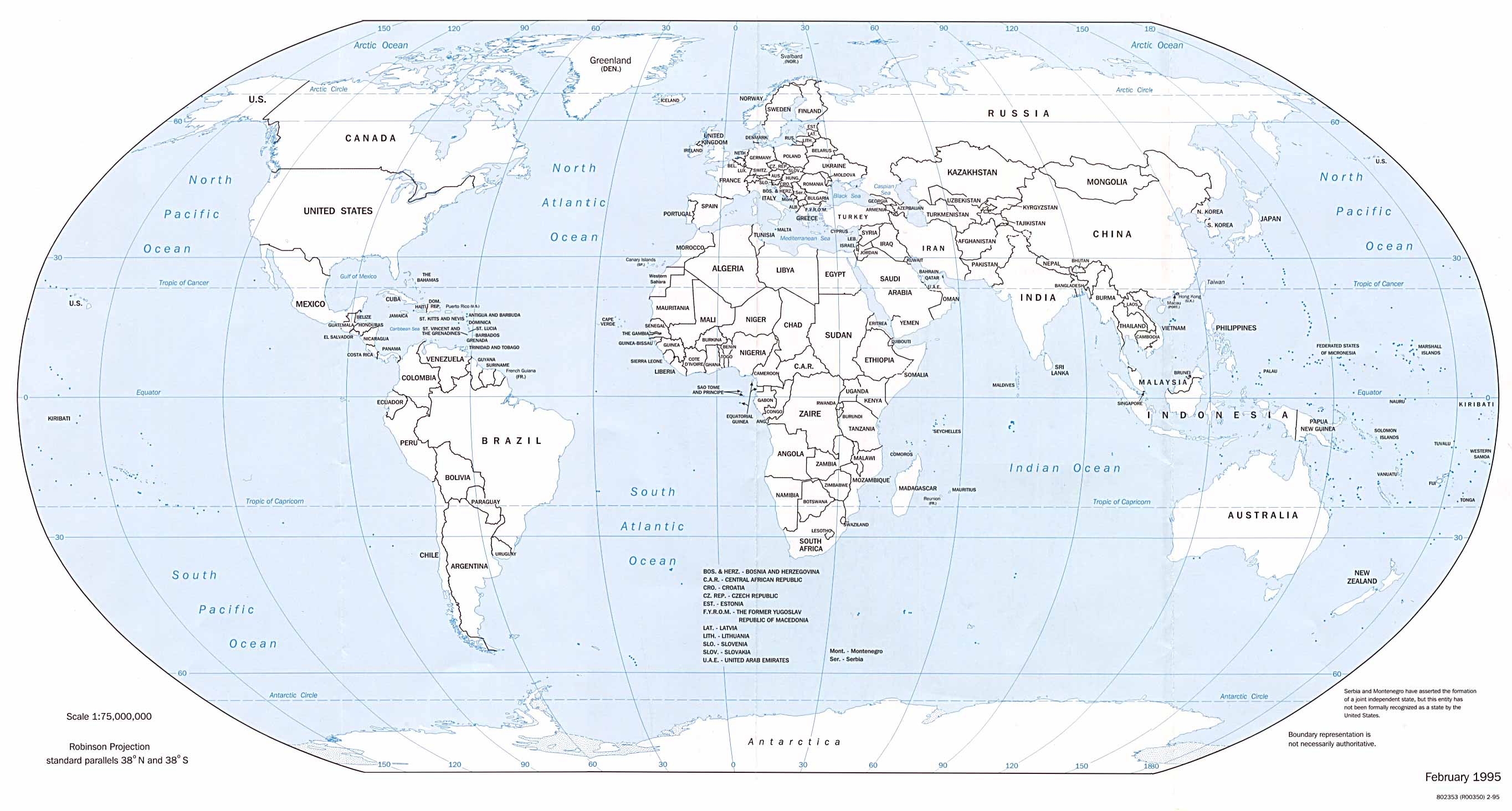
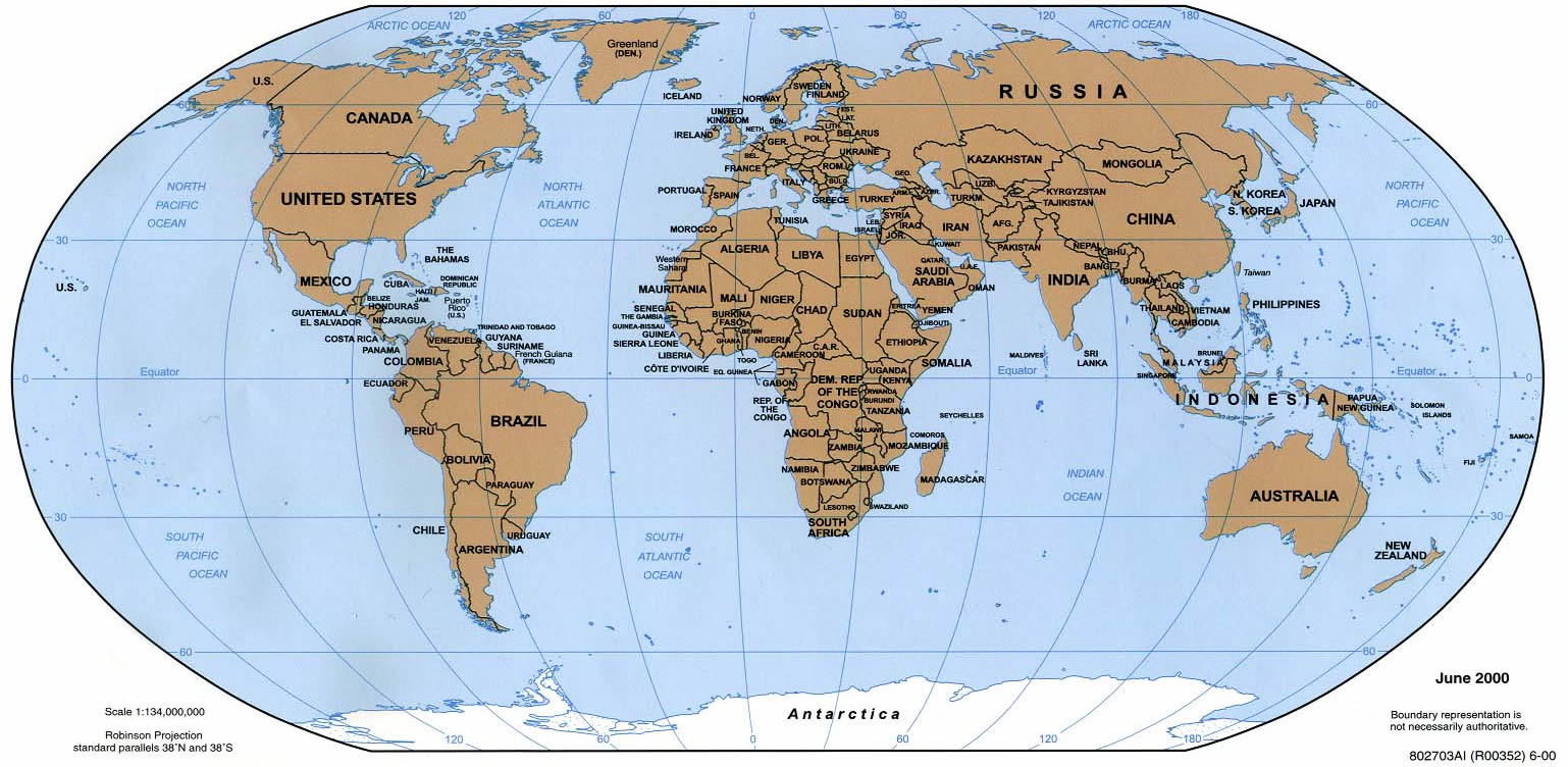
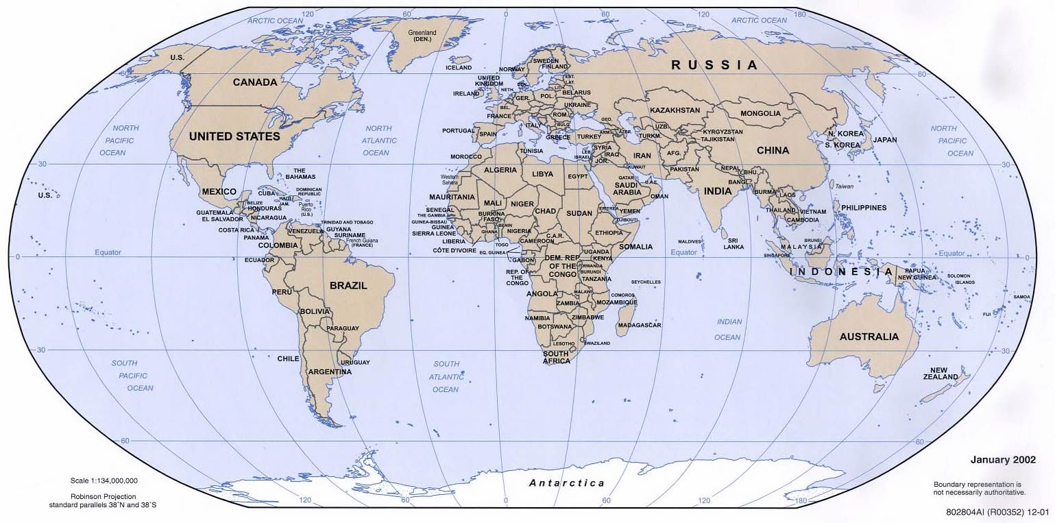
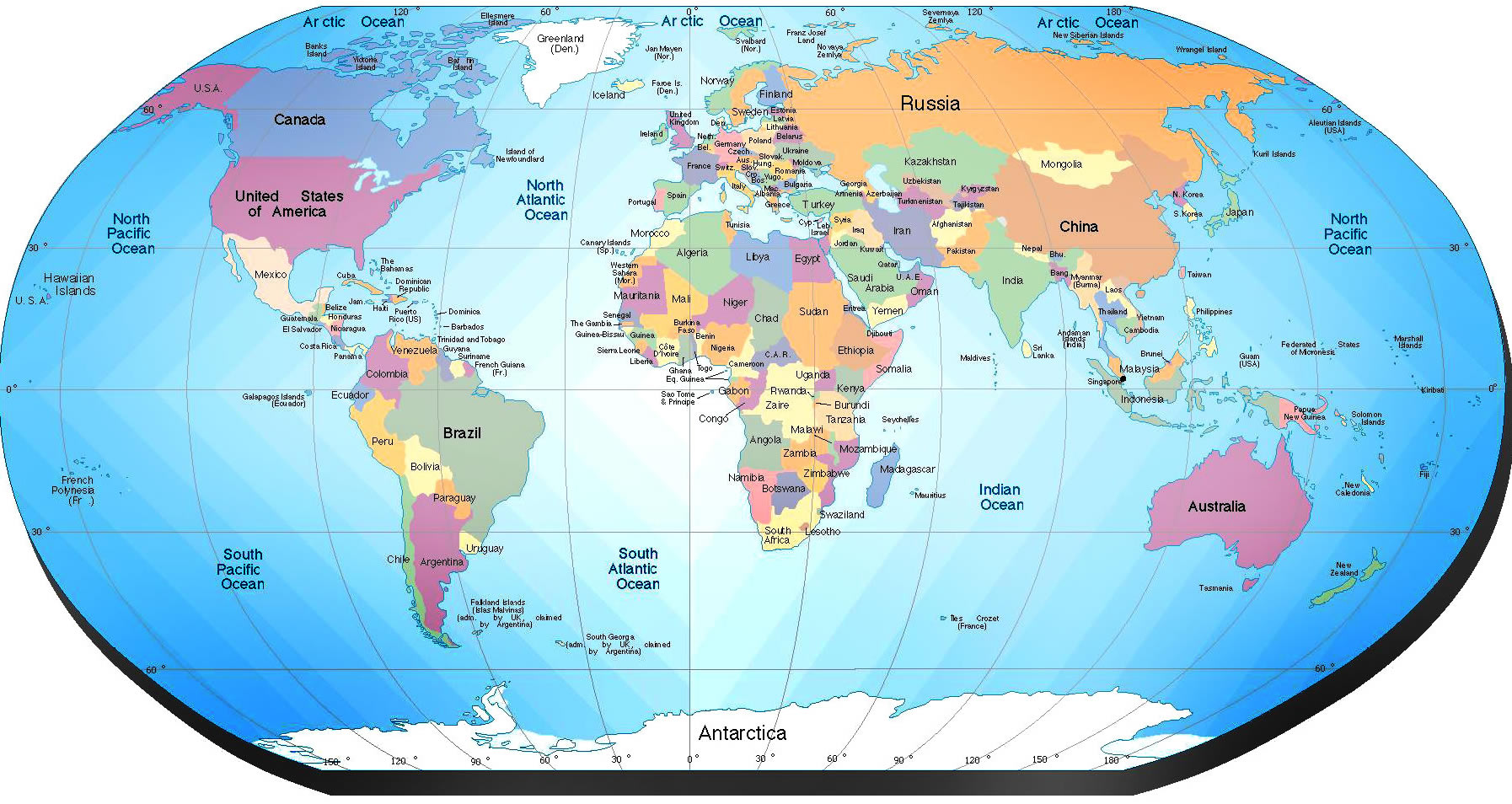
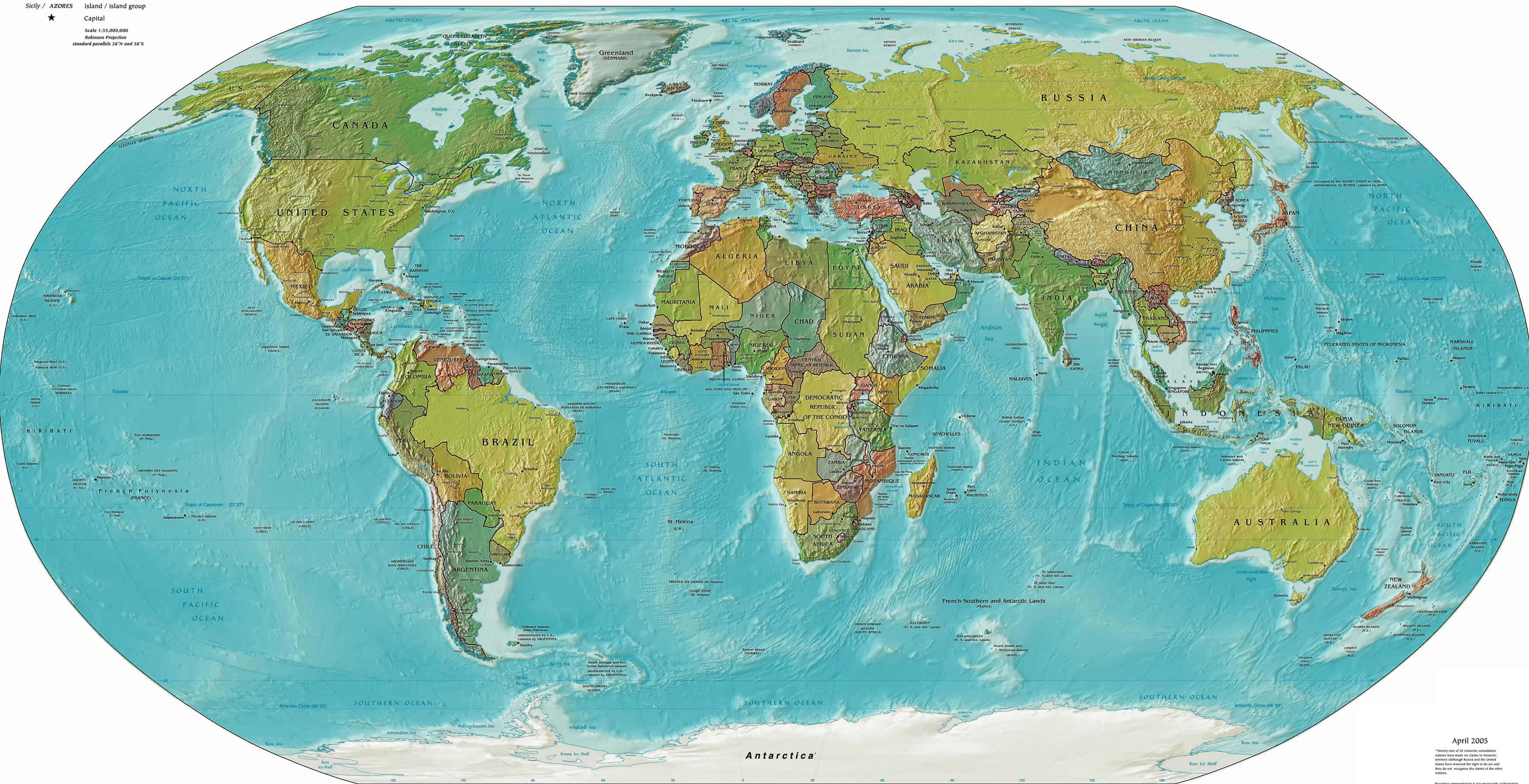
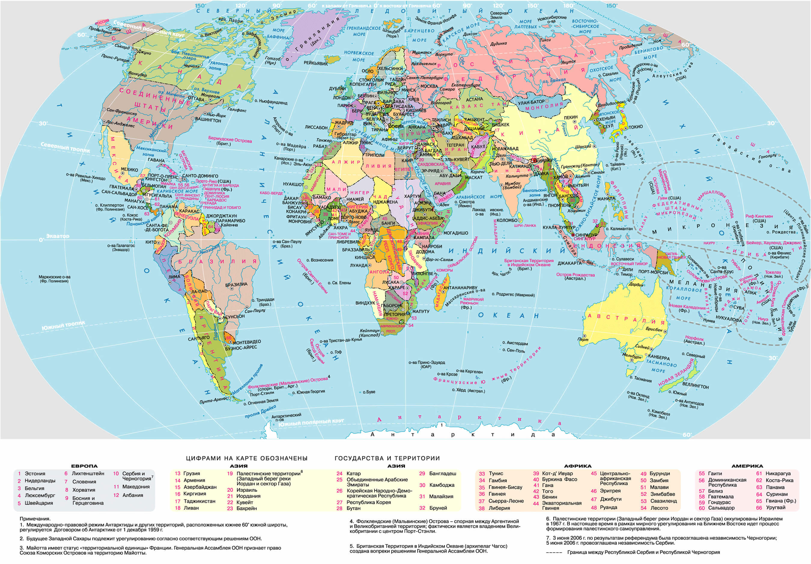
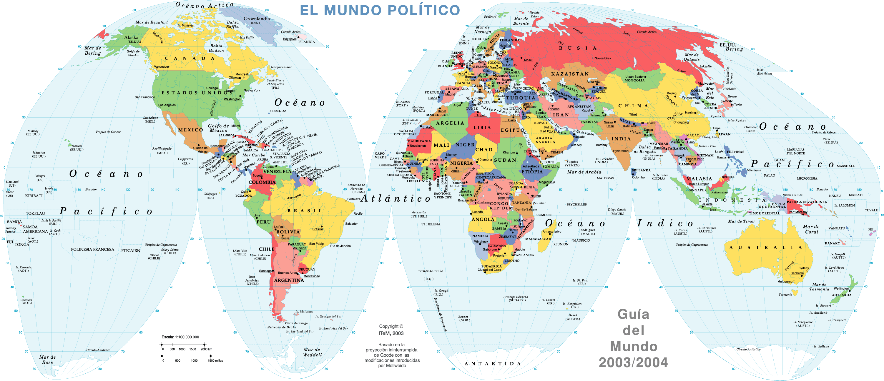
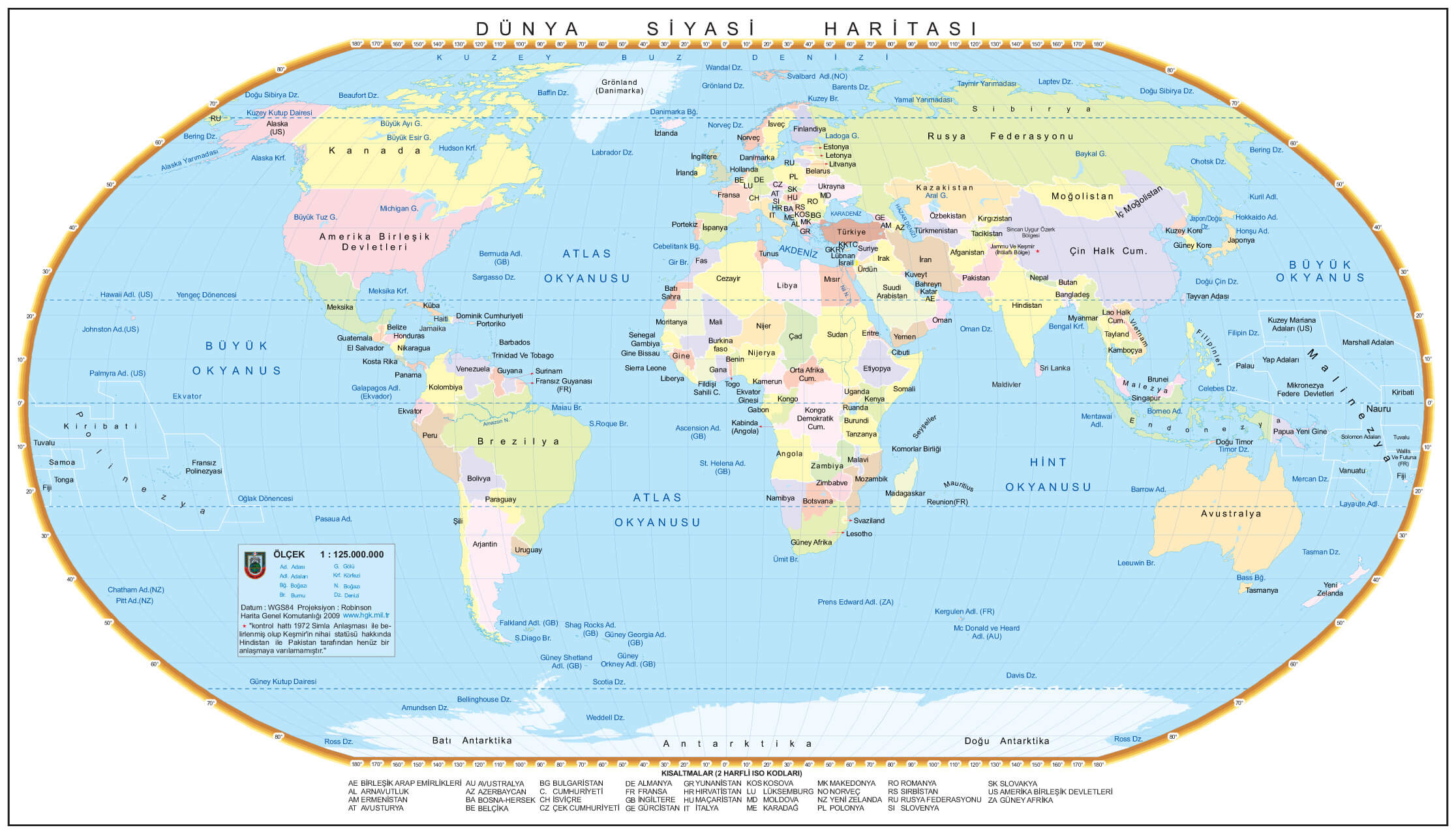
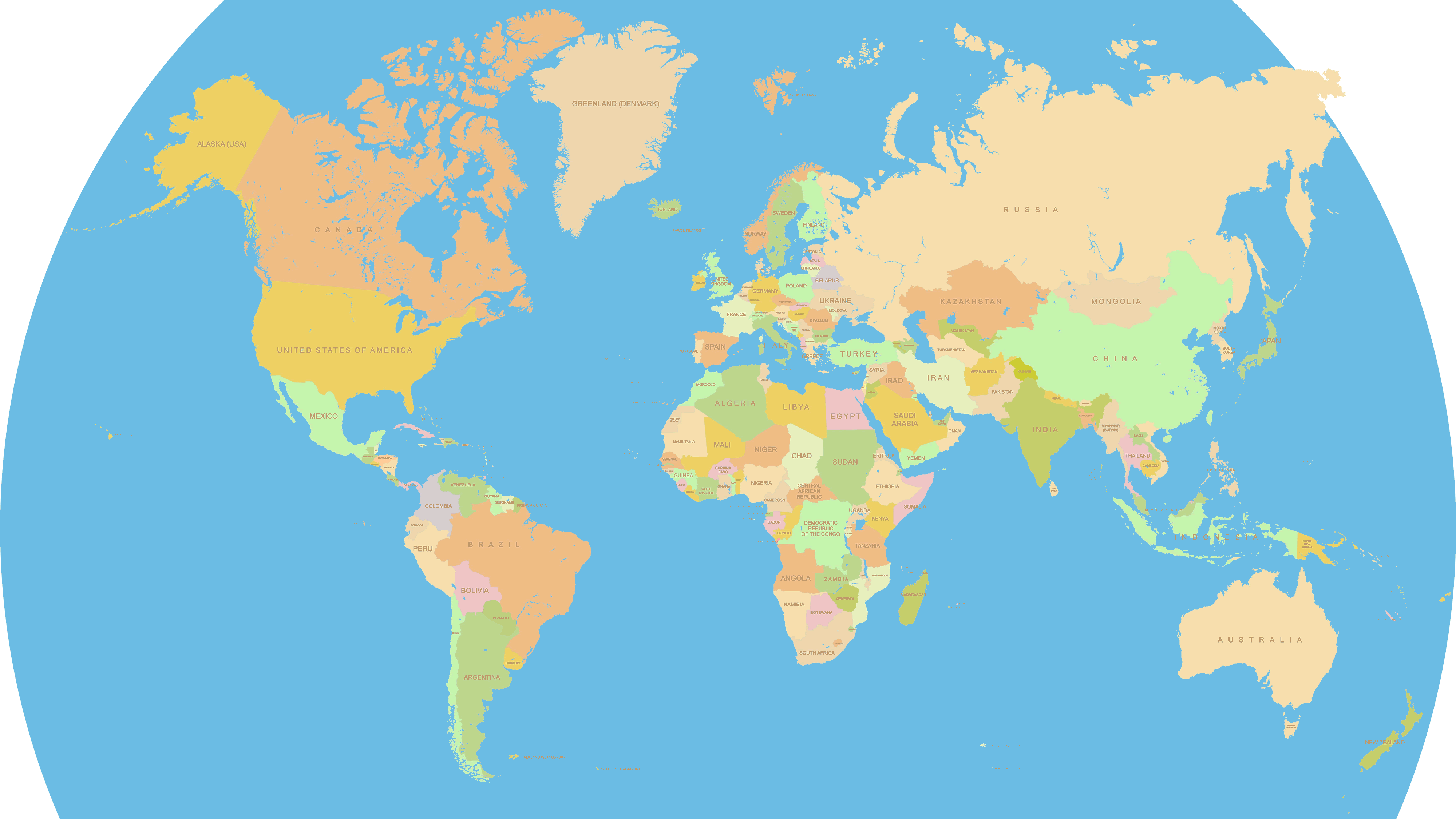
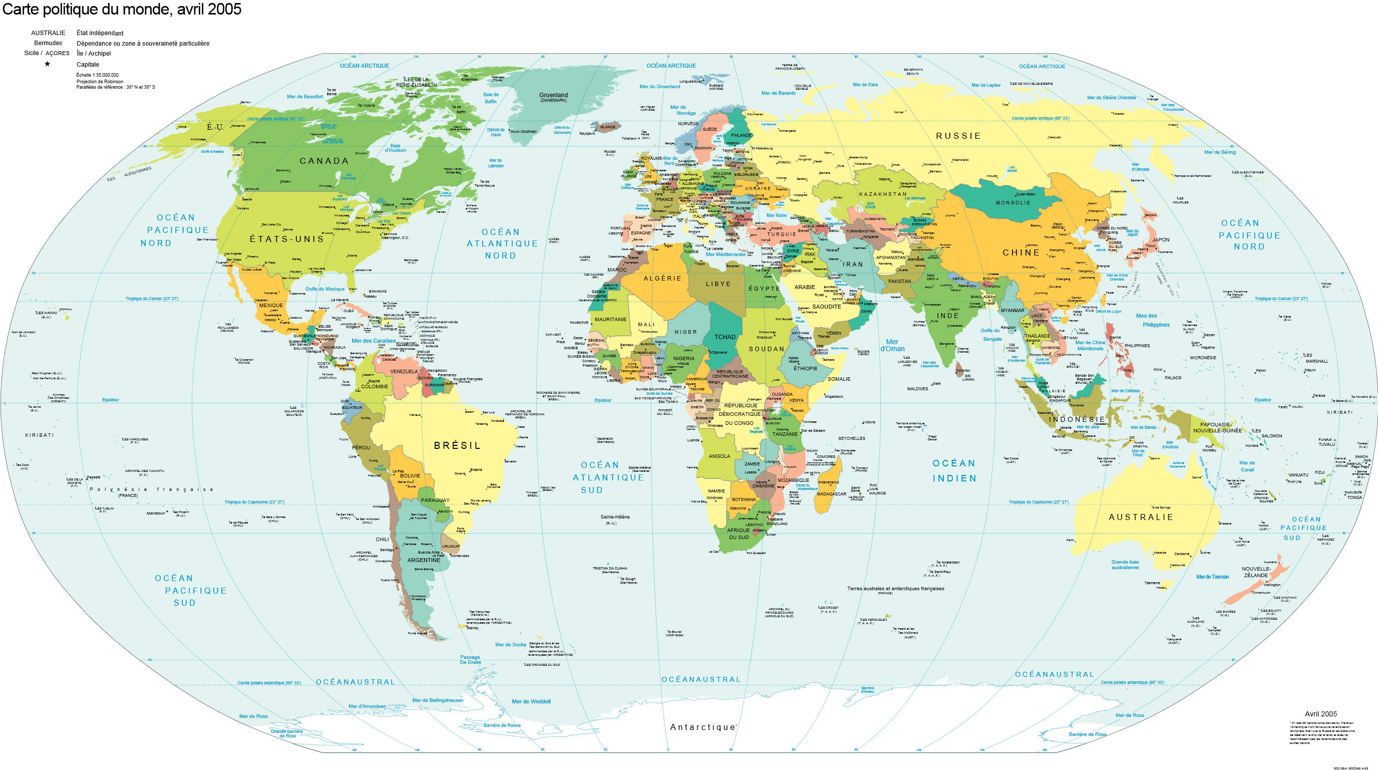
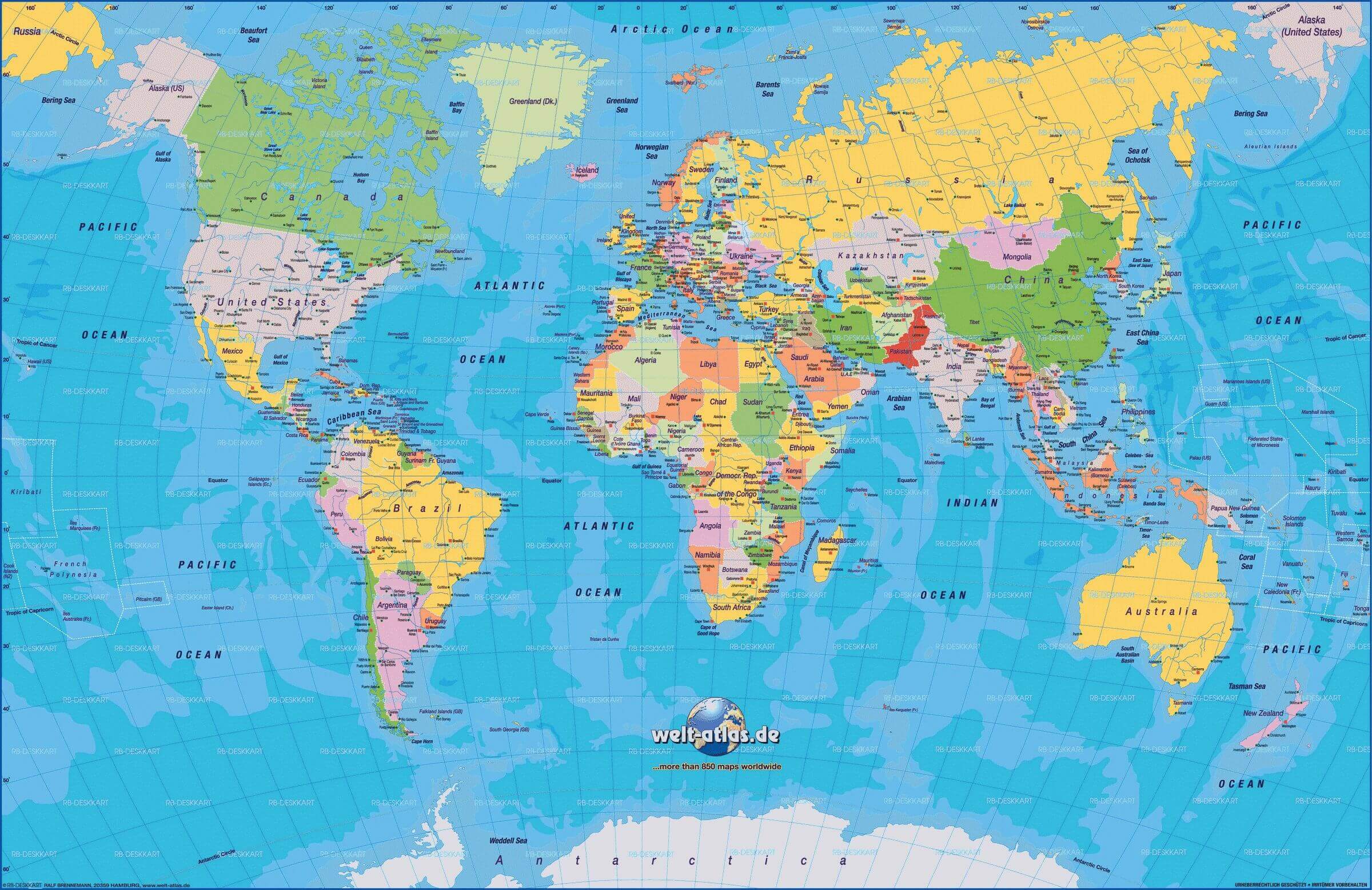
Discover the World's Political Landscape with WorldMap1's Detailed Political Map 🌐
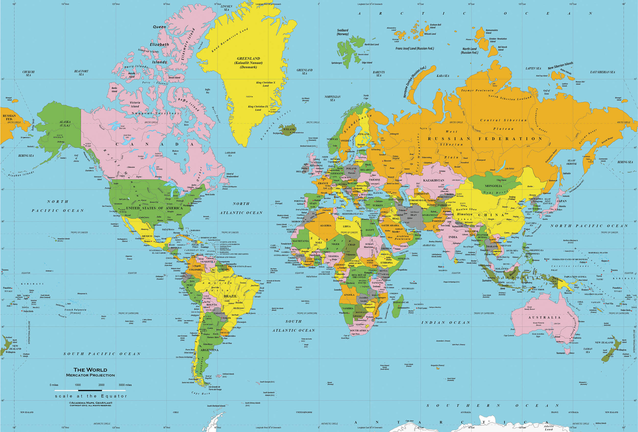
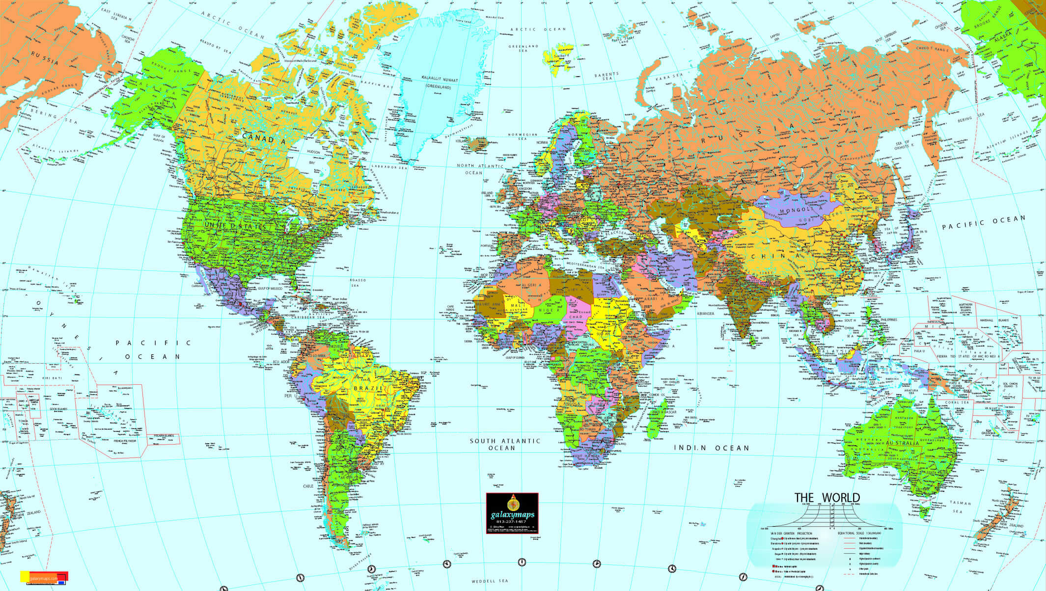
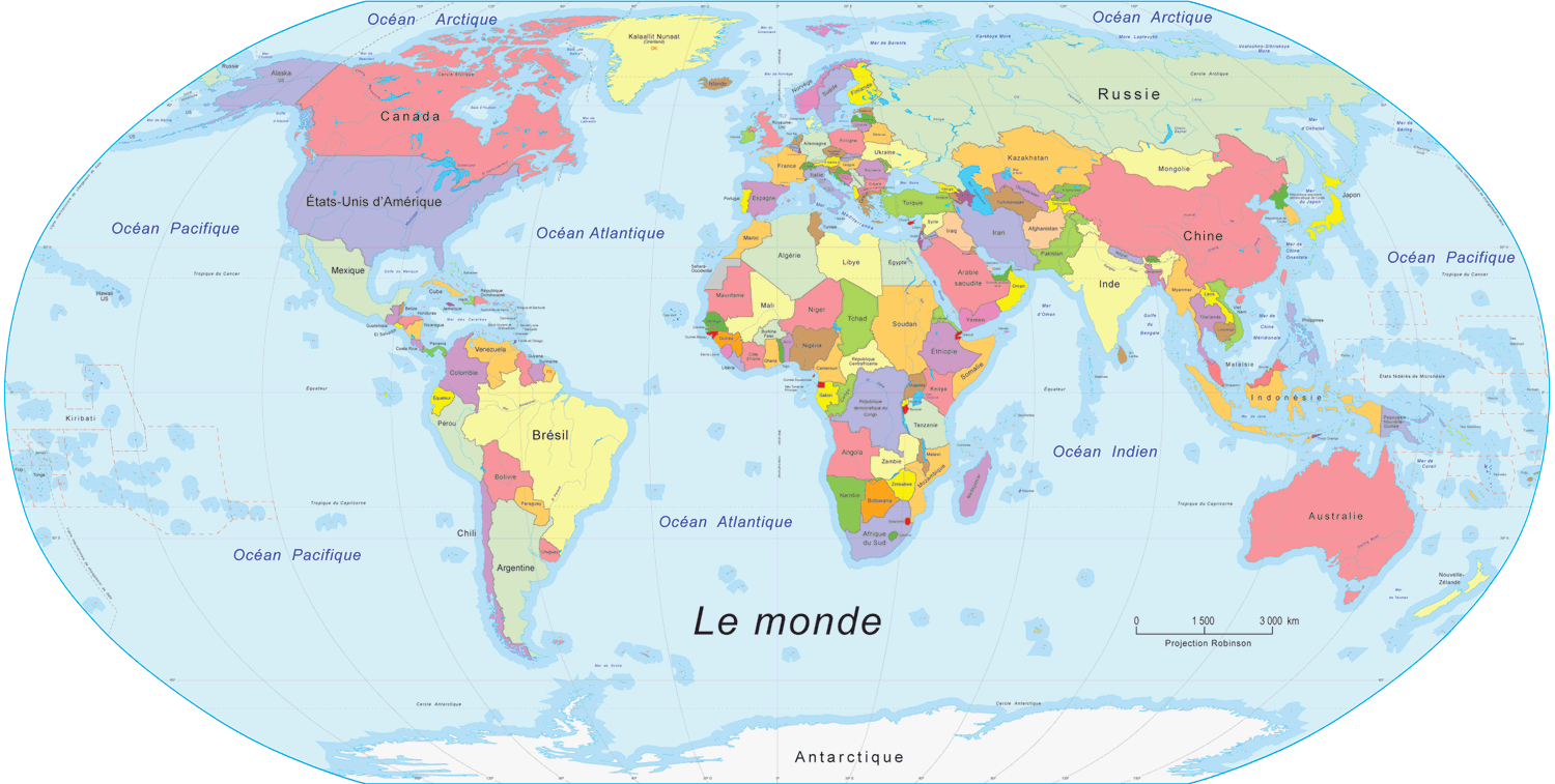
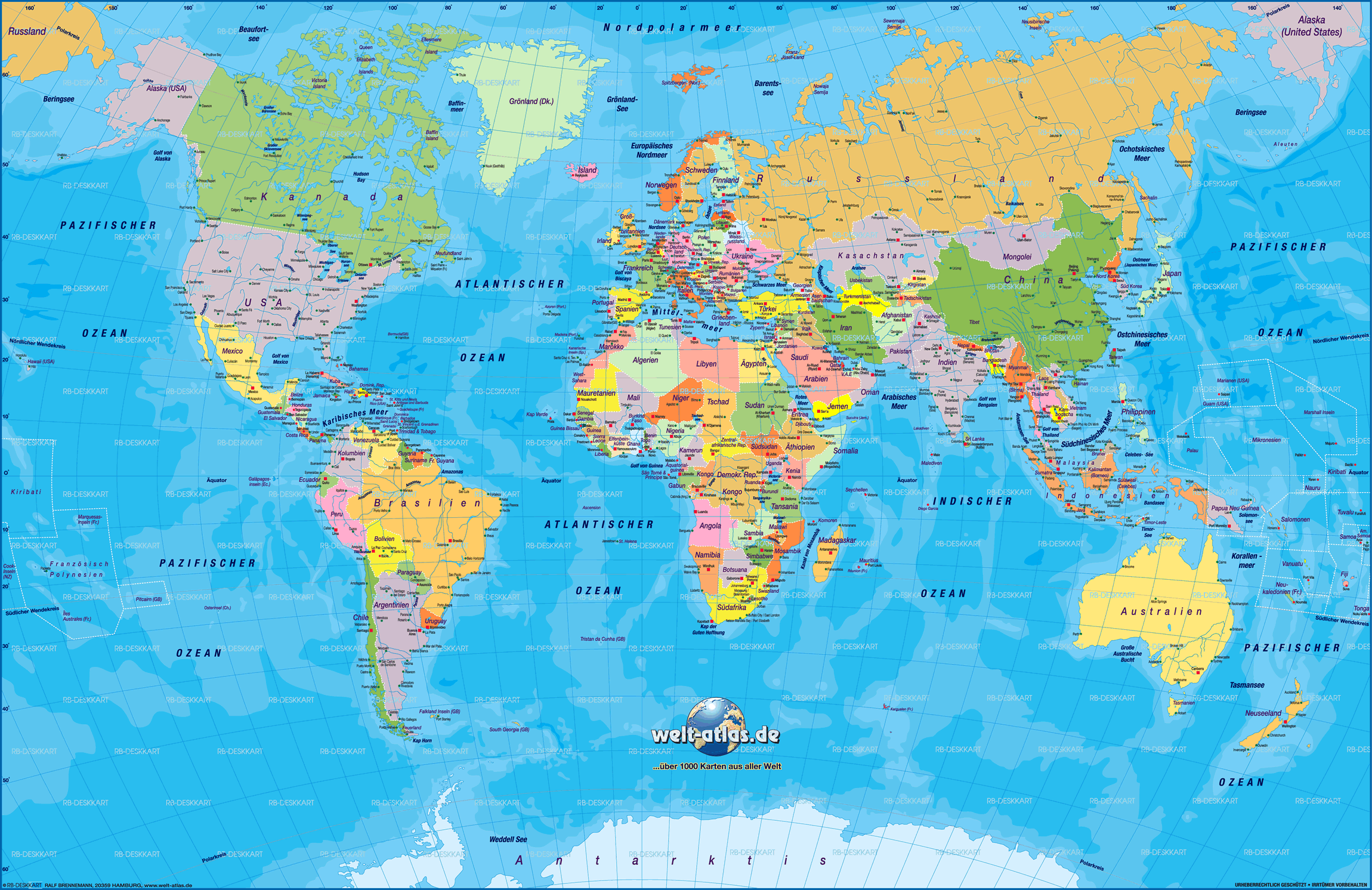
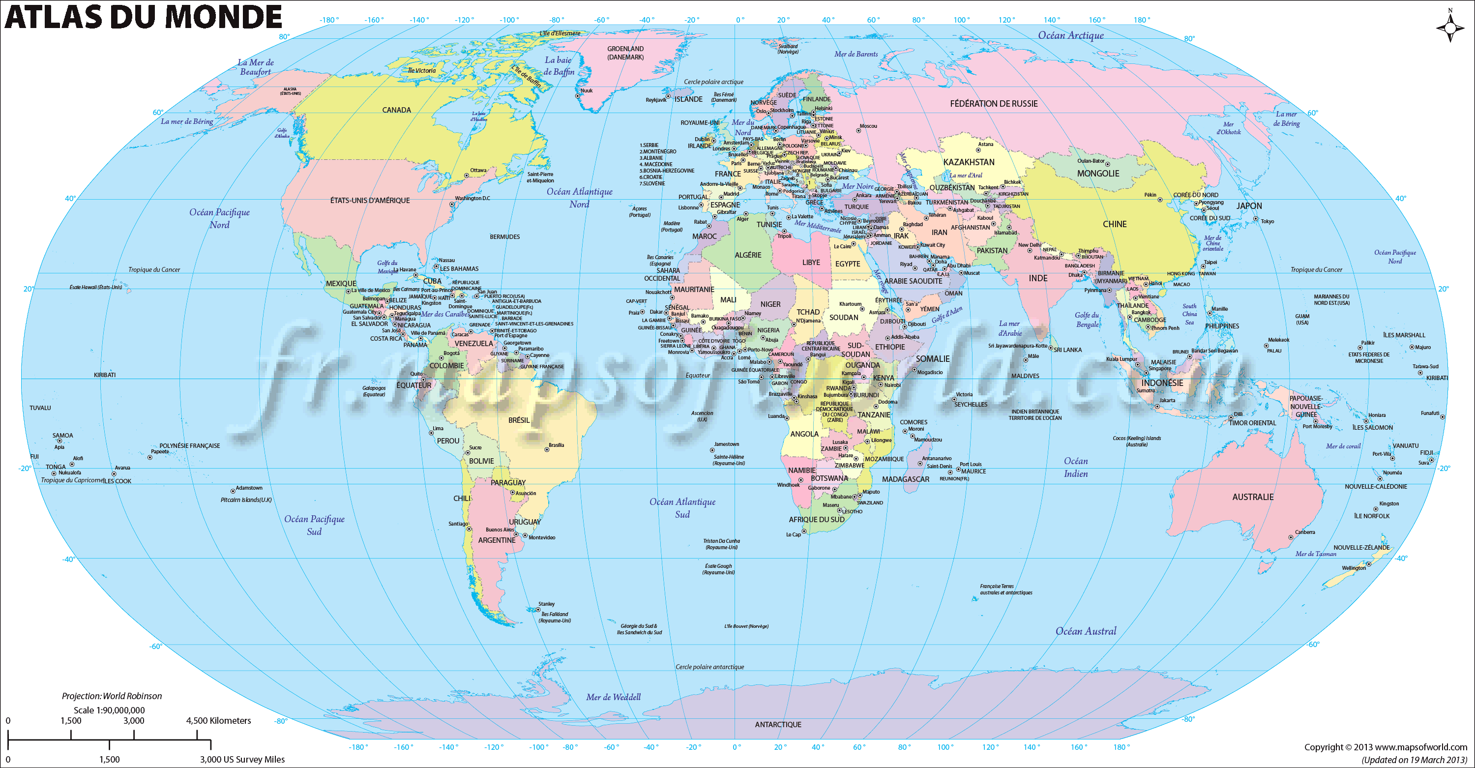
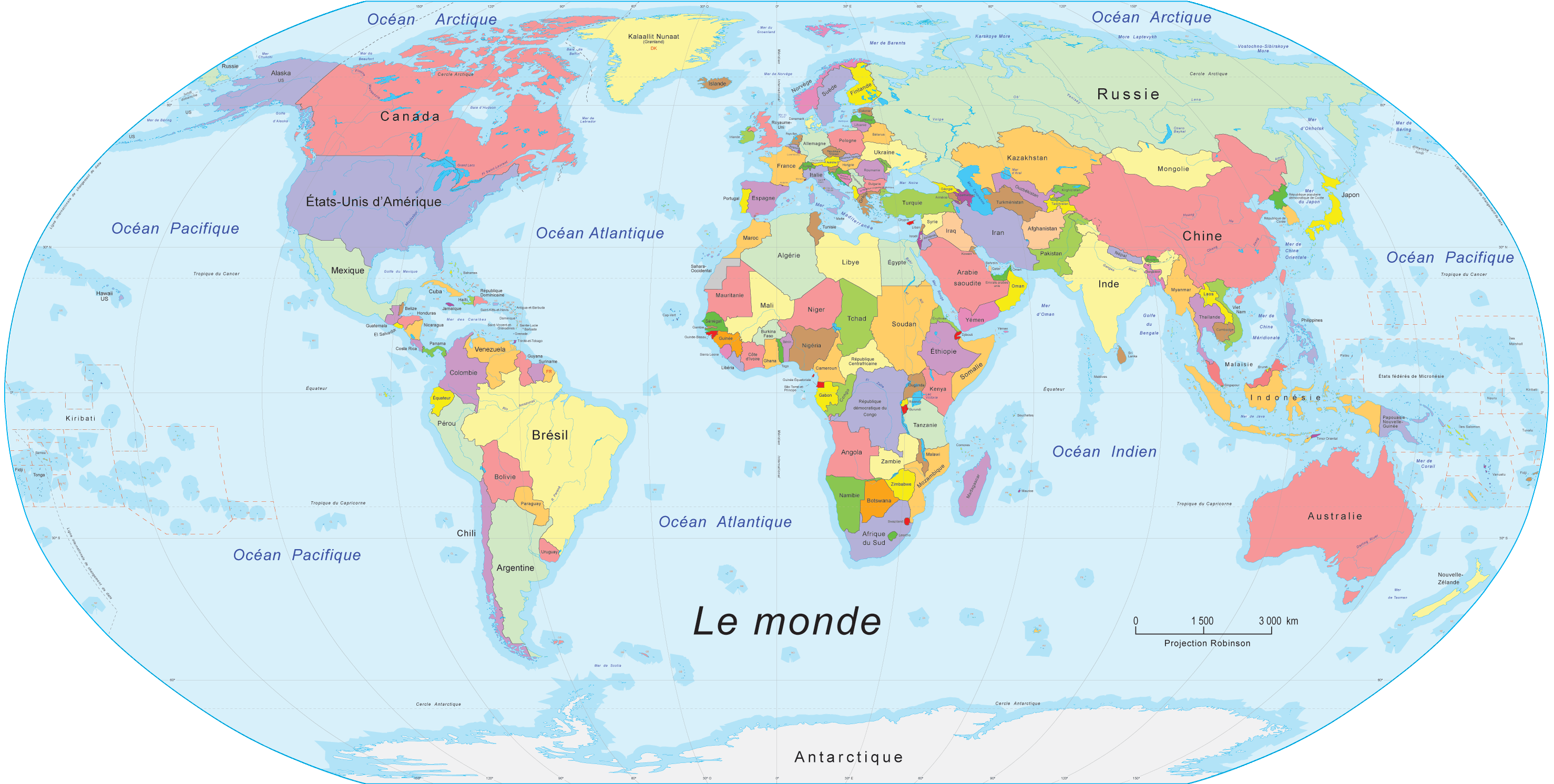
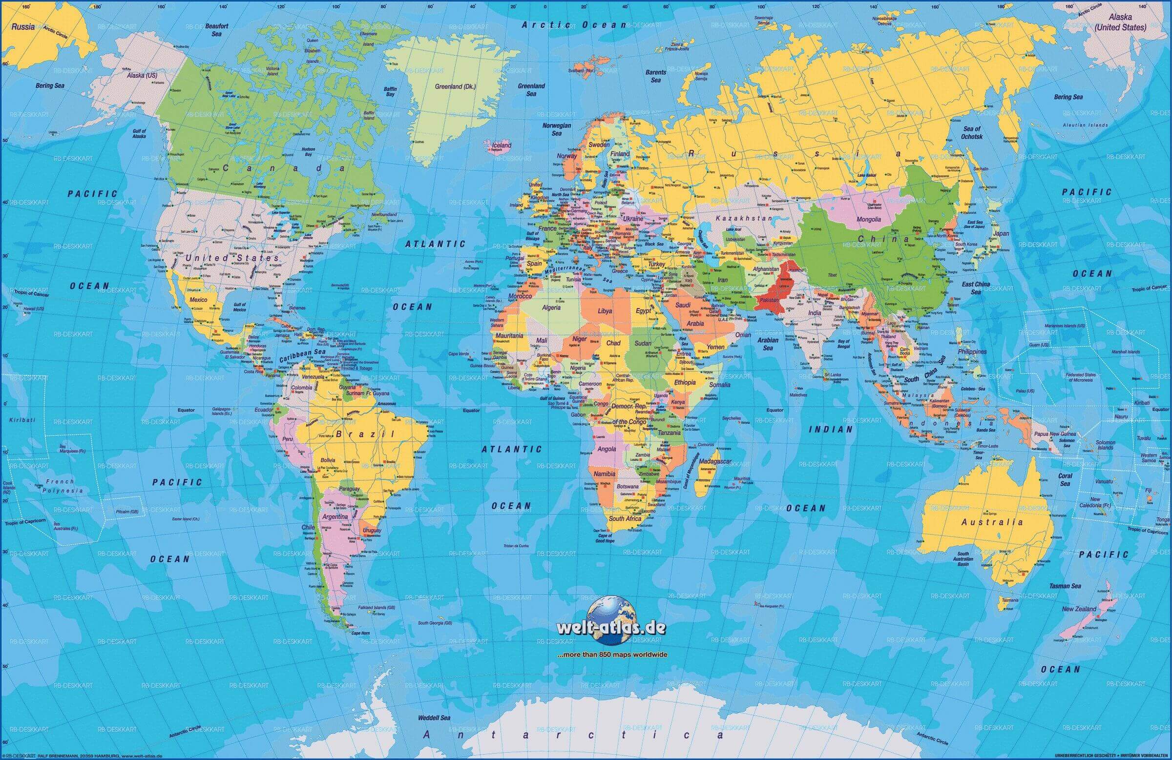
Explore the political divisions of the world with WorldMap1's detailed political map. From national borders to capital cities, our map provides a comprehensive view of the political landscape of our planet. Plan your next international trip or simply satisfy your curiosity with our interactive world political map.
More World Maps
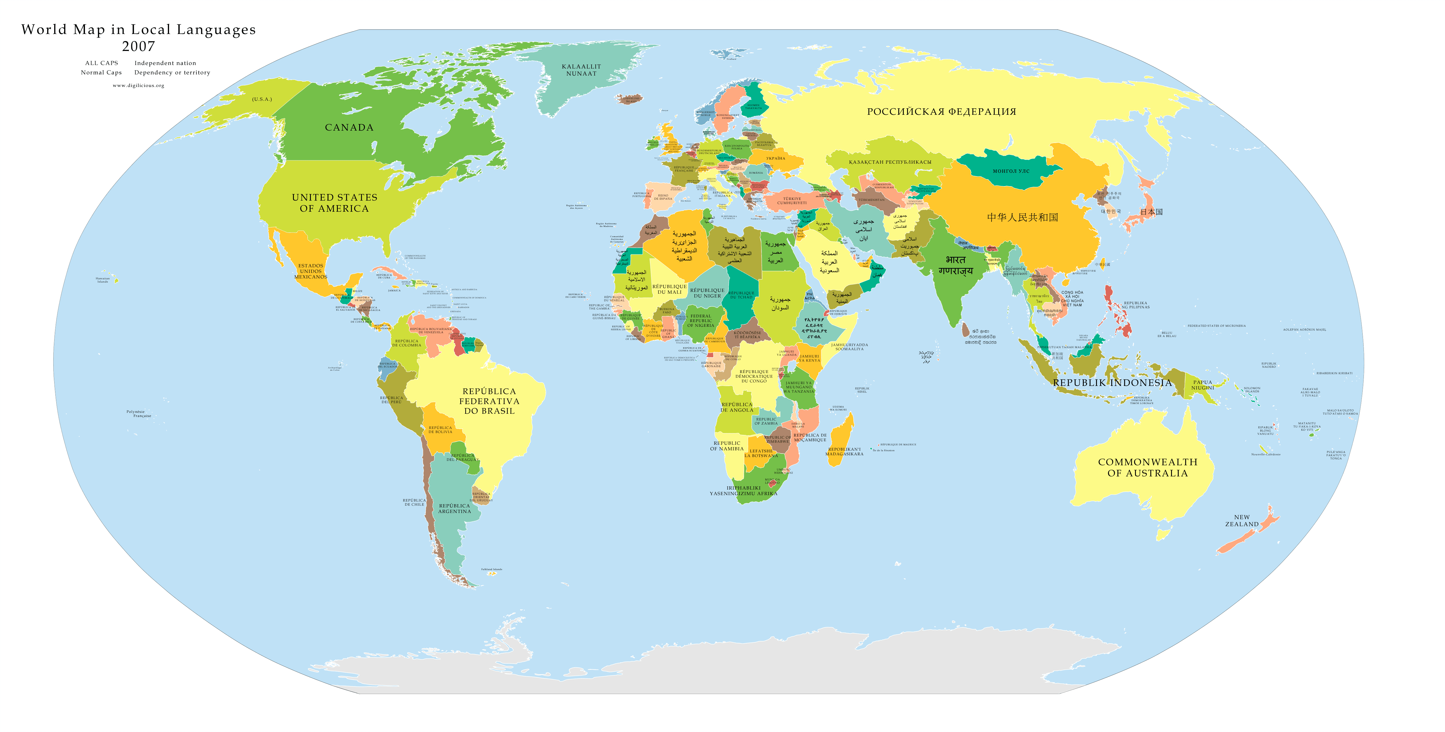
World Map Map of the World More World Maps Map of World World Maps World World Languages Map
Map of the World
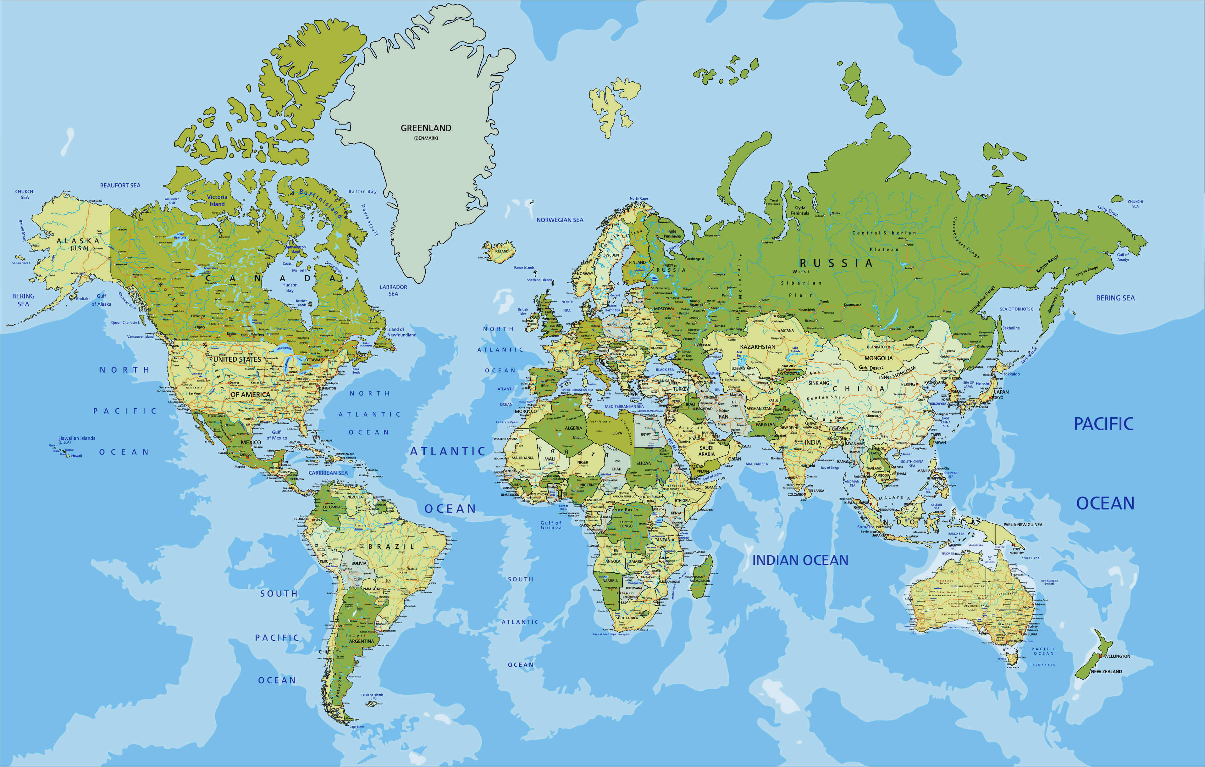
Our map is updated regularly to ensure that you have access to the latest political information, so you can plan your international travel, study geography or politics, or simply satisfy your curiosity about the world around us. Whether you're a student, a researcher, or a travel enthusiast, our world political map is the perfect tool to help you discover and explore the political divisions of our planet. So, let's dive in and discover the fascinating world of international politics together!
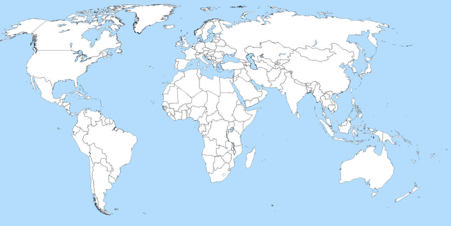
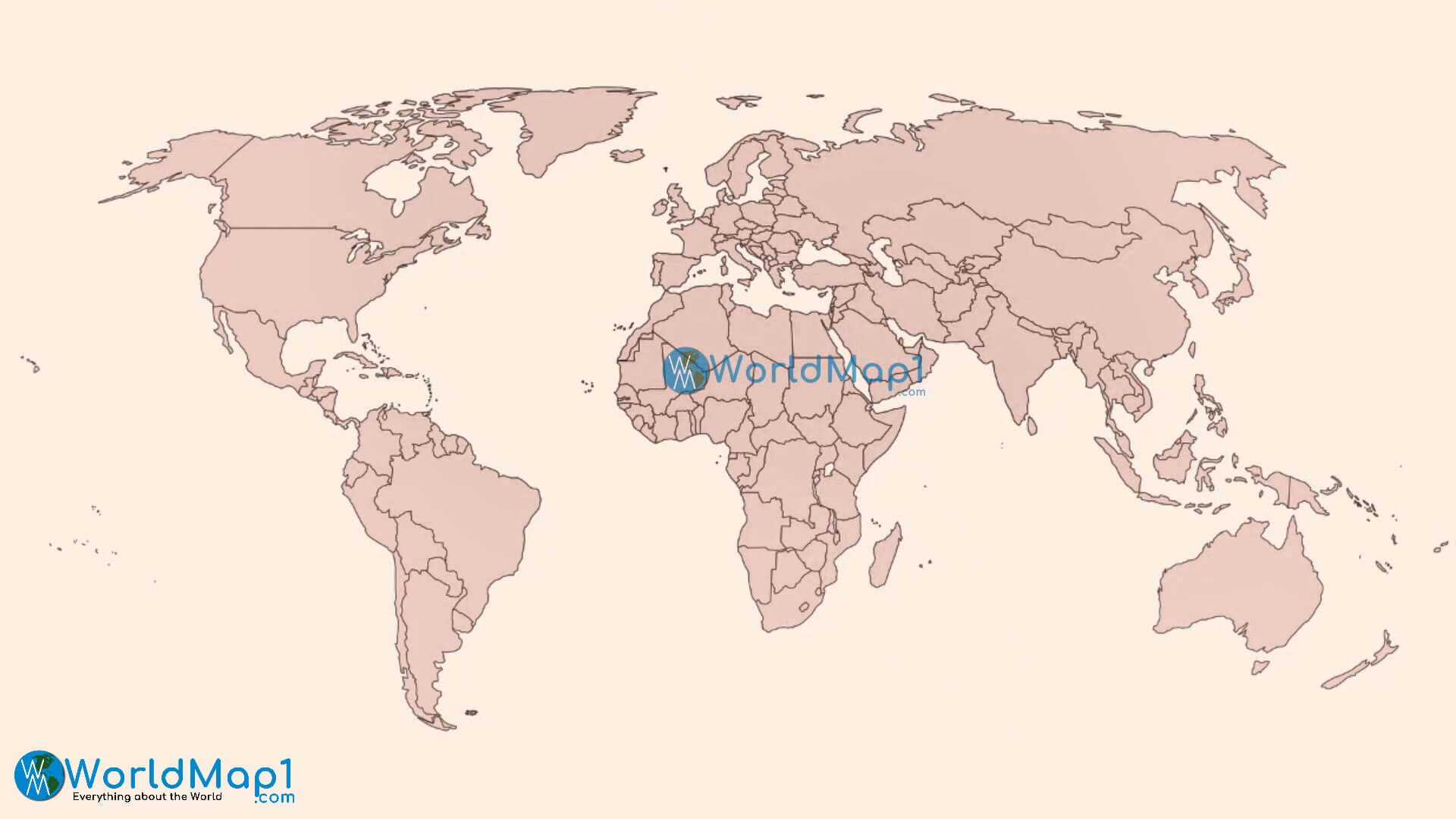
World Ruby Red Blank Map
Please View Also more World Countries Map
World Map and World Countries Map 1 World Map and World Countries Map 2 World Map and World Countries Map 3 World Map and World Countries Map 4 World Map and World Countries Map 5
World Political Maps
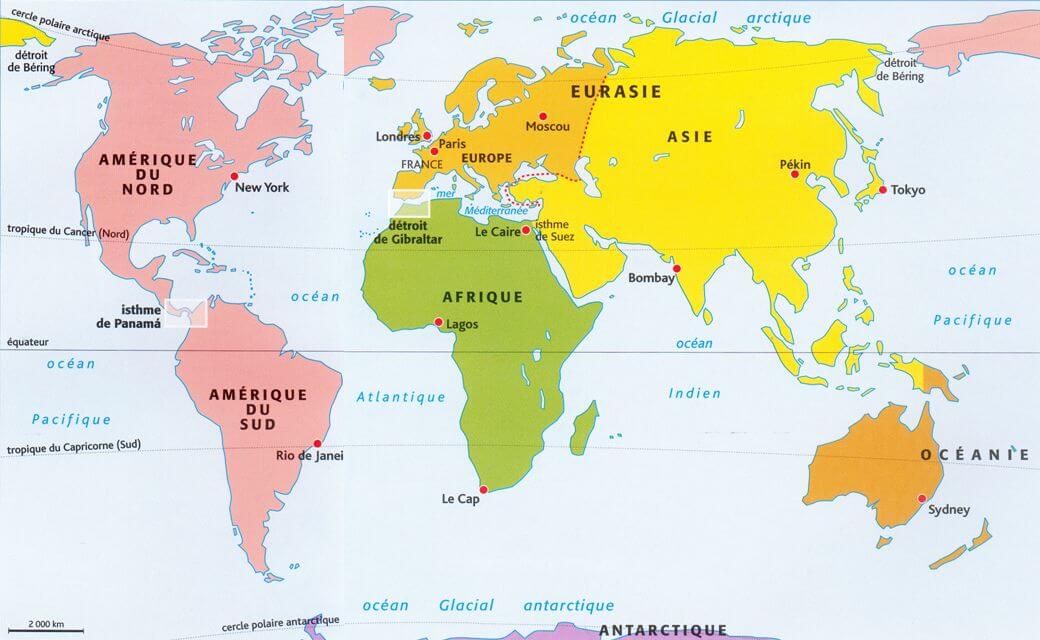
World Continents Map
North America Map South America Map Oceania Map Europe Map Asia Map Antarctica Map Africa MapWorld Top 20 Largest Countries by Population
- 1. China - 1,439,323,776
- 2. India - 1,399,828,108
- 3. United States - 333,839,503
- 4. Indonesia - 277,749,346
- 5. Pakistan - 227,153,261
- 6. Brazil - 214,767,569
- 7. Nigeria - 213,593,168
- 8. Bangladesh - 167,086,674
- 9. Russia - 146,025,949
- 10. Mexico - 130,911,878
- 11. Japan - 125,910,309
- 12. Ethiopia - 119,117,925
- 13. Philippines - 111,711,419
- 14. Egypt - 105,152,003
- 15. Vietnam - 98,618,321
- 16. Democratic Republic Congo (DRC) - 93,531,207
- 17. Turkey - 85,664,955
- 18. Iran - 85,563,317
- 19. Germany - 84,175,561
- 20. Thailand - 68,407,231

