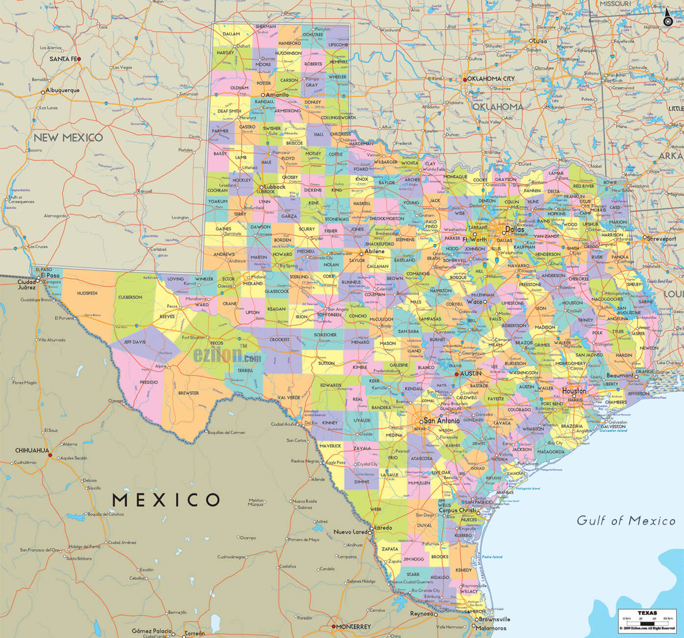
Texas Map FQA
How many cities are in Texas ?
Texas has 254 counties. The largest by population are: Harris County; Dallas County; Tarrant County; Bexar County; Travis County; Collin County; Hidalgo County; El Paso County; Denton County; Fort Bend County.
What are the major geographical features of Texas ?
Texas has varied geography with the Gulf Coastal Plains, Great Plains, deserts in the west, and mountains in the Trans-Pecos region. Major rivers include the Rio Grande and Red River.
MAP OF TEXAS
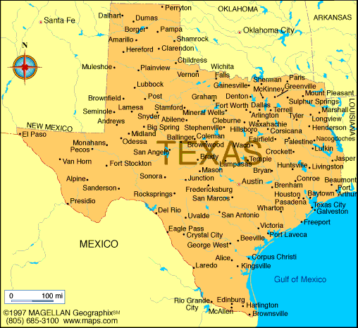
MAP OF TEXAS CITIES
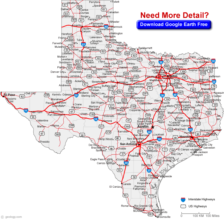
Texas is a big state. In fact, it's the second largest in the United States and one of the most diverse. Explore Texas and Where is Texas on the Map. The state known as "The Lone Star" is a land of infinite feats of nature, culture and craftsmanship.
Discover the Lone Star State with our interactive Texas map! Explore the vast deserts, stunning national parks, bustling cities, and charming small towns that make Texas such a unique and diverse state. Our map provides detailed information and navigation, making it easy to plan your next adventure. Start exploring today!
What are some facts about Texas
Brief information about Texas, US
Texas has a rich history, including being a part of Mexico until it gained independence in 1836 and later joining the United States in 1845. The state played a significant role in the Civil War and was a major center for oil production in the 20th century.
Today, Texas has a thriving economy and is home to several major industries, including energy, healthcare, and technology. The state is also known for its vibrant culture, which includes delicious Tex-Mex cuisine, country music, rodeos, and sports teams such as the Dallas Cowboys and Houston Astros. Texas is also home to several world-renowned landmarks and attractions, such as the Alamo, Big Bend National Park, and NASA's Johnson Space Center.
In summary, Texas is a diverse and culturally rich state that offers a range of attractions and opportunities for visitors and residents alike.
Texas is the second-largest state in the United States, covering an area of approximately 268,600 square miles (696,200 square kilometers). As of 2020, the estimated population of Texas was approximately 29 million people, making it the second most populous state in the US. The state has a diverse population, with a significant portion of residents identifying as Hispanic or Latino (39%), followed by White (41%), Black or African American (12.5%), and Asian (5%).
Texas has a rich history, including being a part of Mexico until it gained independence in 1836 and later joining the United States in 1845. The state played a significant role in the Civil War and was a major center for oil production in the 20th century. Today, the state is the leading producer of oil and natural gas in the United States.
Texas has a diverse and robust economy, with several major industries contributing to its success. The state's major industries include energy, healthcare, technology, and agriculture. The state is home to several major corporations, including Dell Technologies, ExxonMobil, and AT&T. Texas is also a major exporter of goods, with its top exports including oil, natural gas, and electronics.
In summary, Texas is a large and diverse state with a rich history, vibrant culture, and a thriving economy. Its population is diverse and contributes to the state's unique character and cultural offerings. Texas's industries, attractions, and opportunities make it an exciting place to visit or call home.
Largest Cities Map of Texas
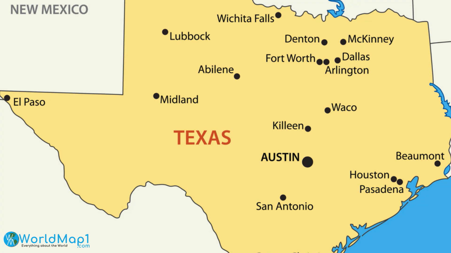
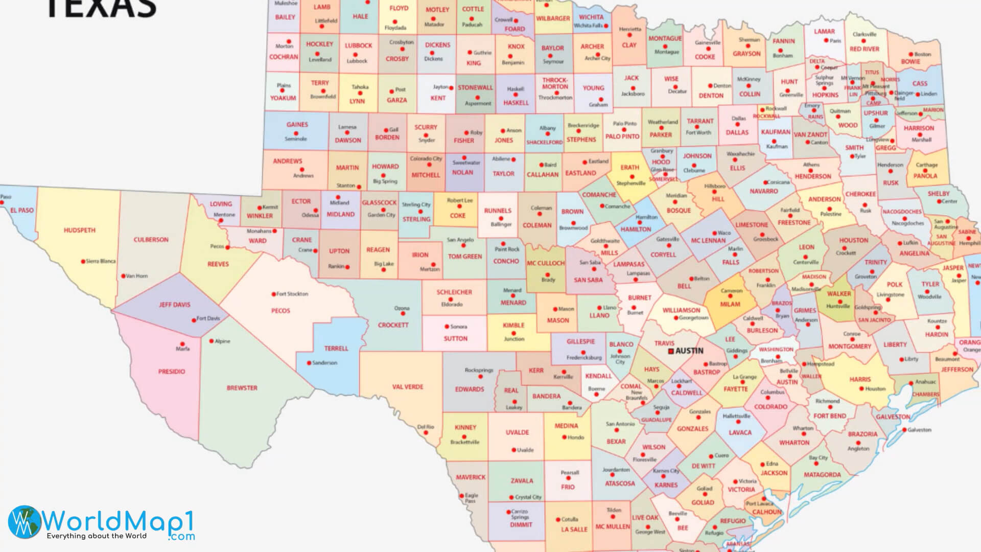
Texas Counties Map in the US
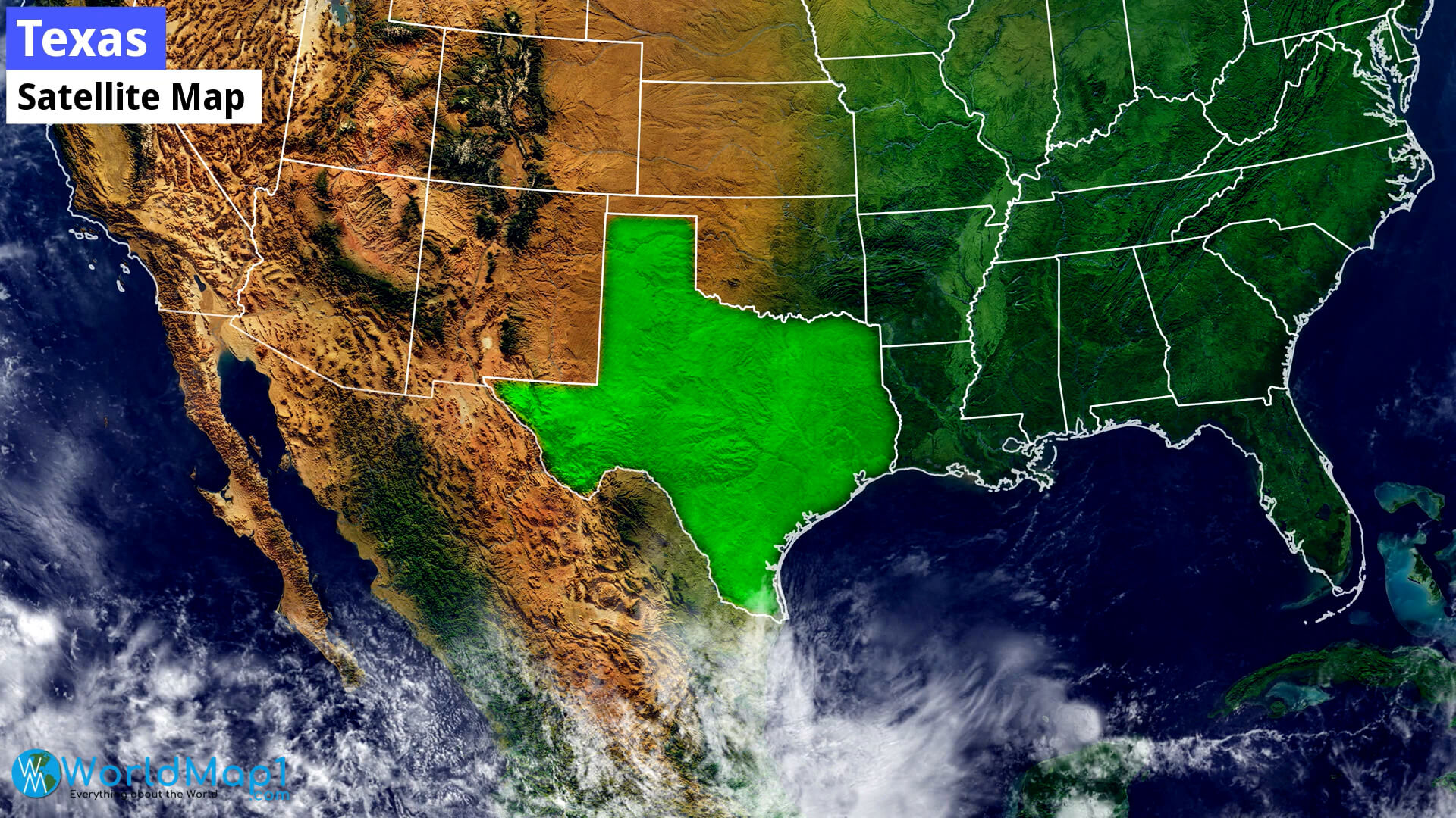
Texas Satellite Map
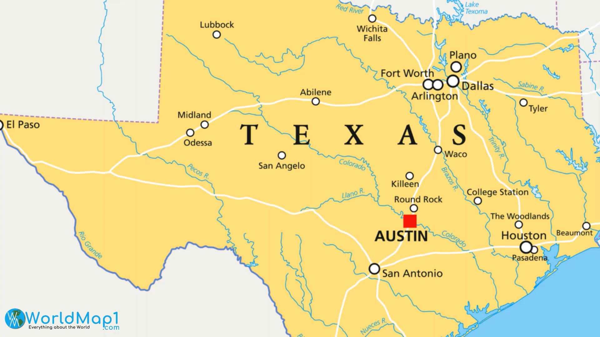
Texas Major Cities and Dams Map
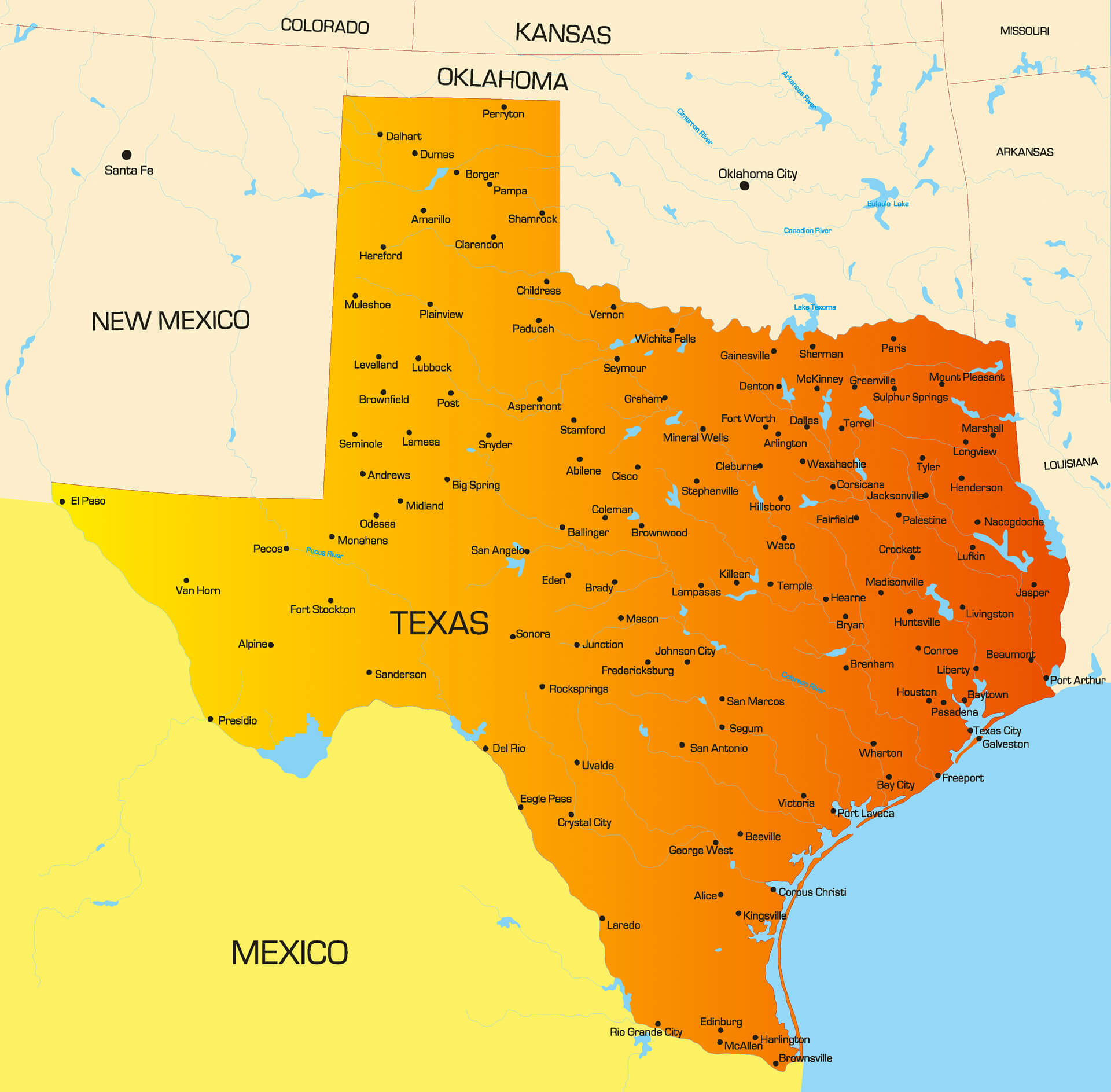
Vector Color Map of Texas State
Please view more Texas Cities Aerial Views, Map and Photos
High Detailed Texas Map
Texas Free Printable Map
Where is Located Texas in the US and Cities Map of Texas
Brief information about utah, US
A Collection of Texas Maps and Texas Satellite Images
MAP OF TEXAS

CITIES MAP OF TEXAS
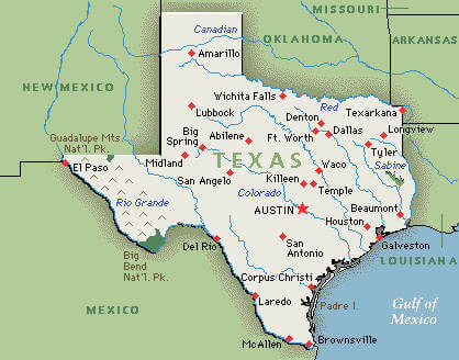
MAP OF TEXAS
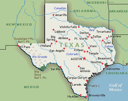
MAP OF TEXAS CITIES

MAPS OF TEXAS
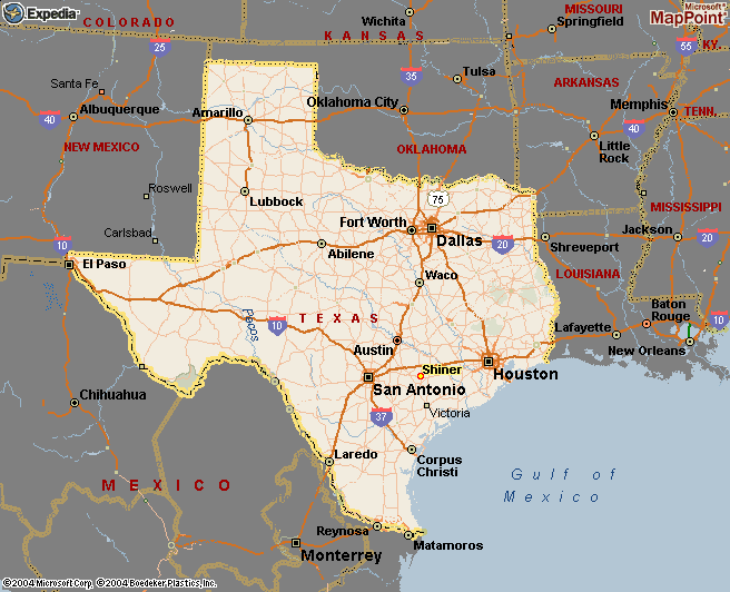
TEXAS MAP
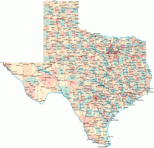
TEXAS CITIES MAP
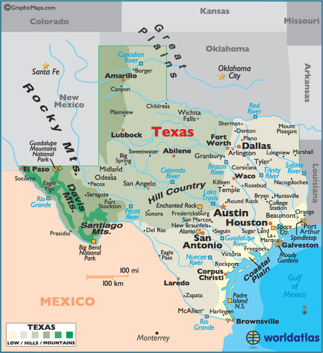
TEXAS CITY MAP
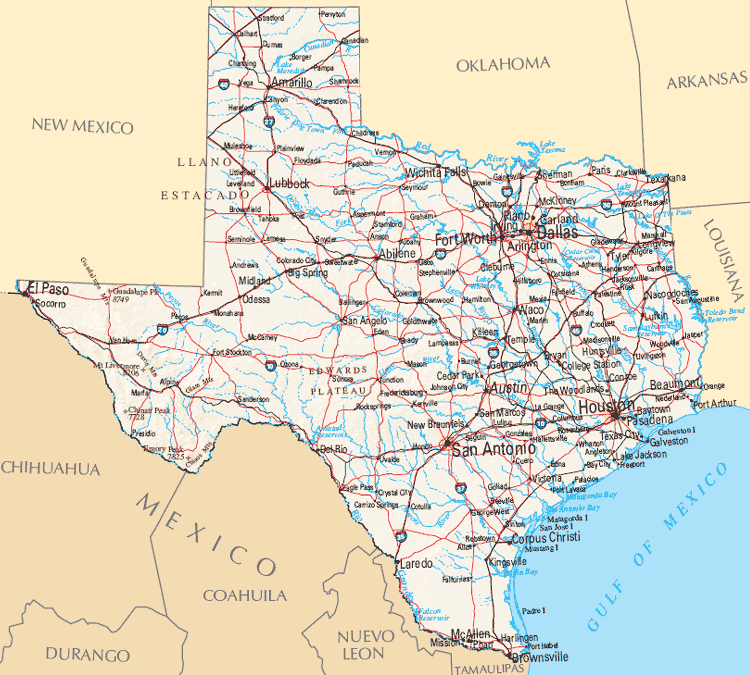
TEXAS COUNTY MAP
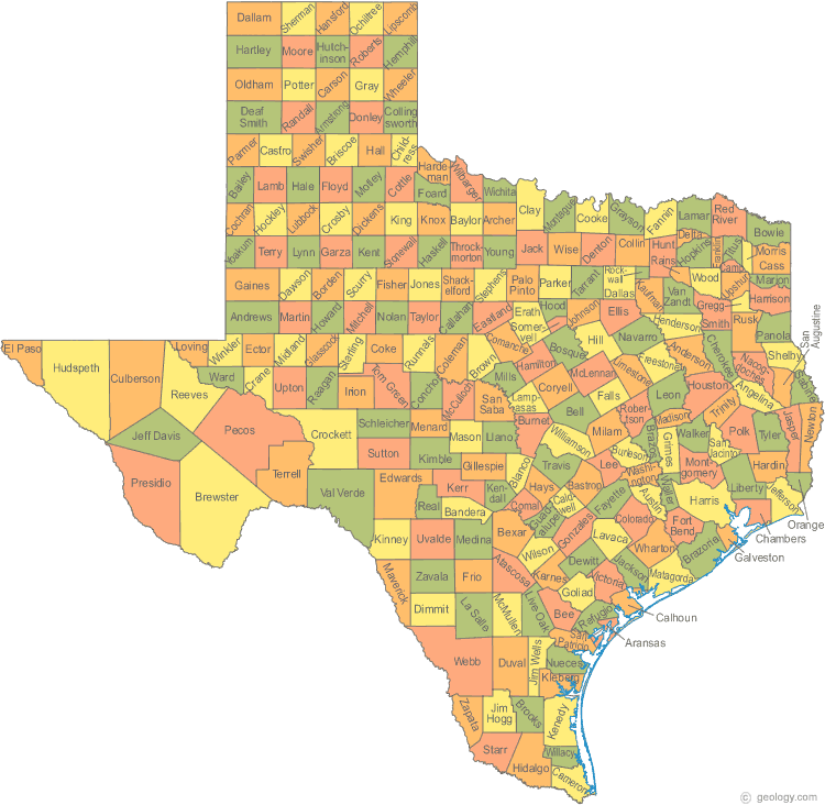
TEXAS GEOGRAPHIC MAP
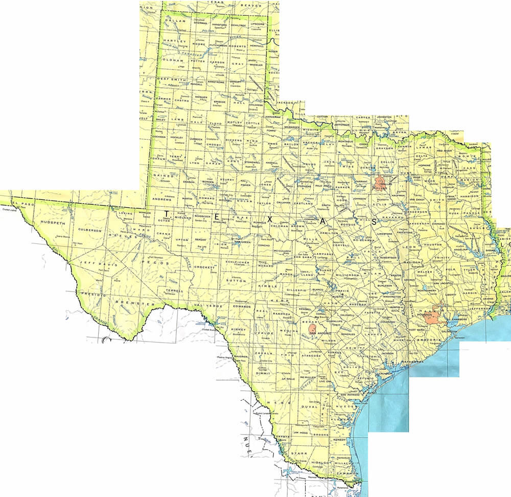
TEXAS MAP
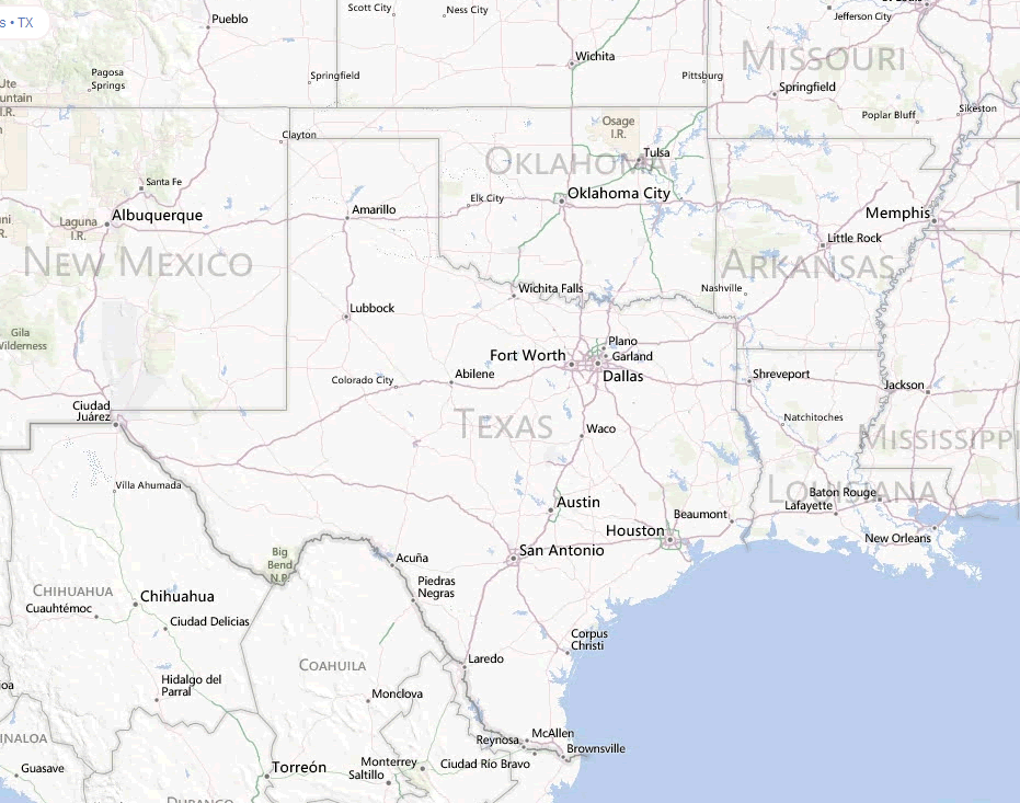
TEXAS MAP CITIES
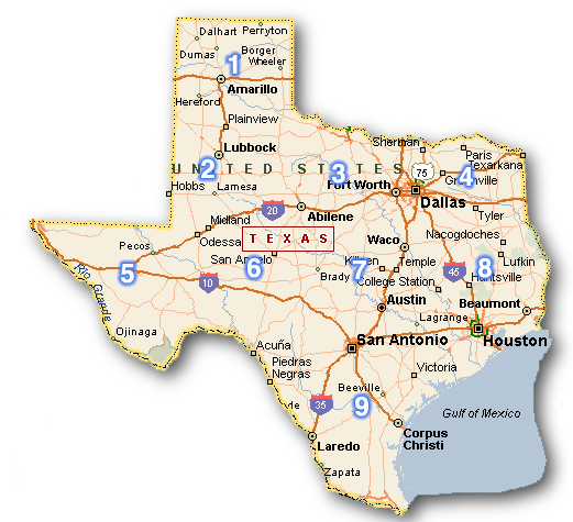
TEXAS MAP CITIES TOWNS
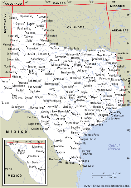
TEXAS MAP STATE BOUNDRIES
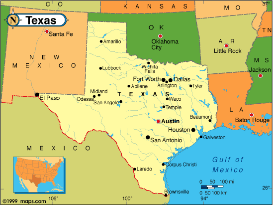
TEXAS MAPS
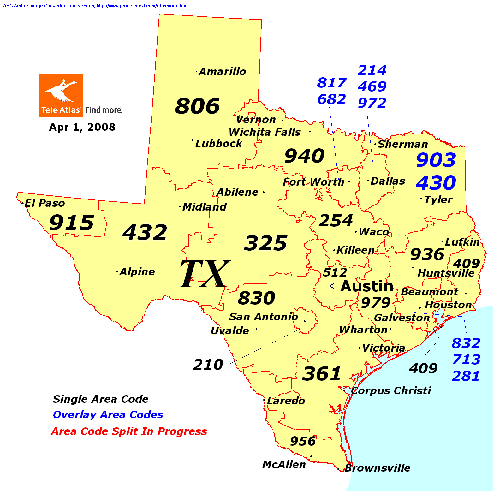
TEXAS PHYSICAL MAP
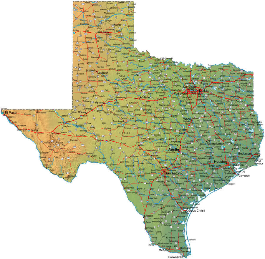
TEXAS POLITICAL MAP
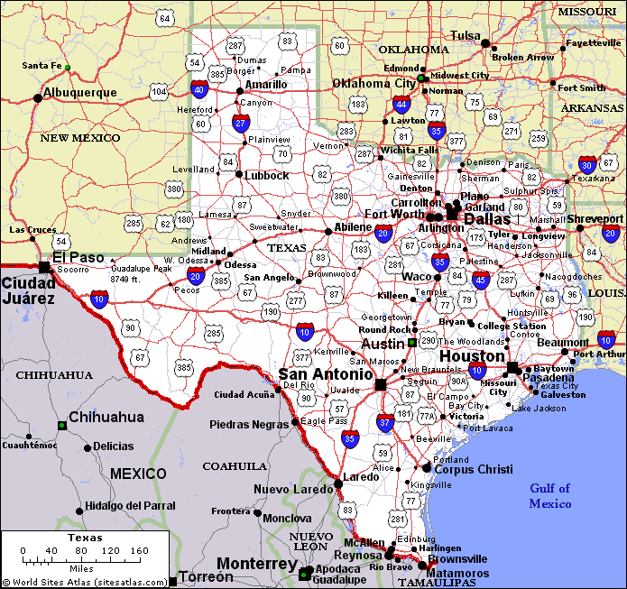
TEXAS STATE MAP
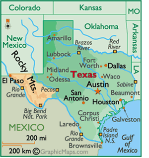
TEXAS WATER MAPS
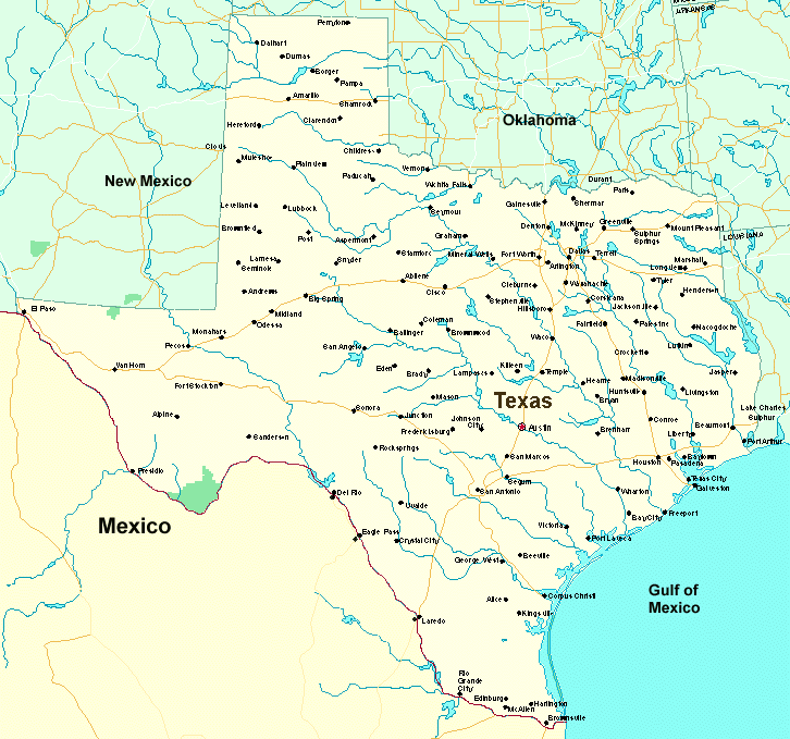
A collection of Texas Maps
Author: Arif Cagrici


