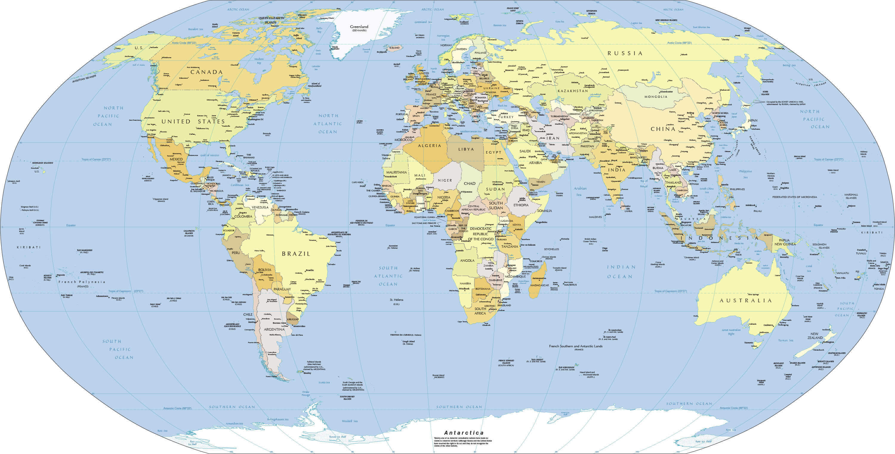
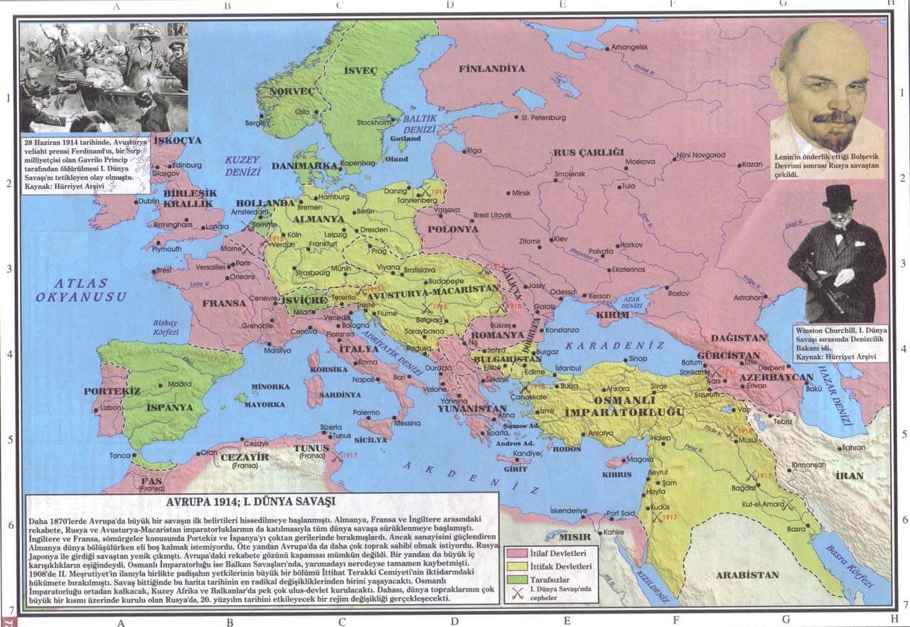
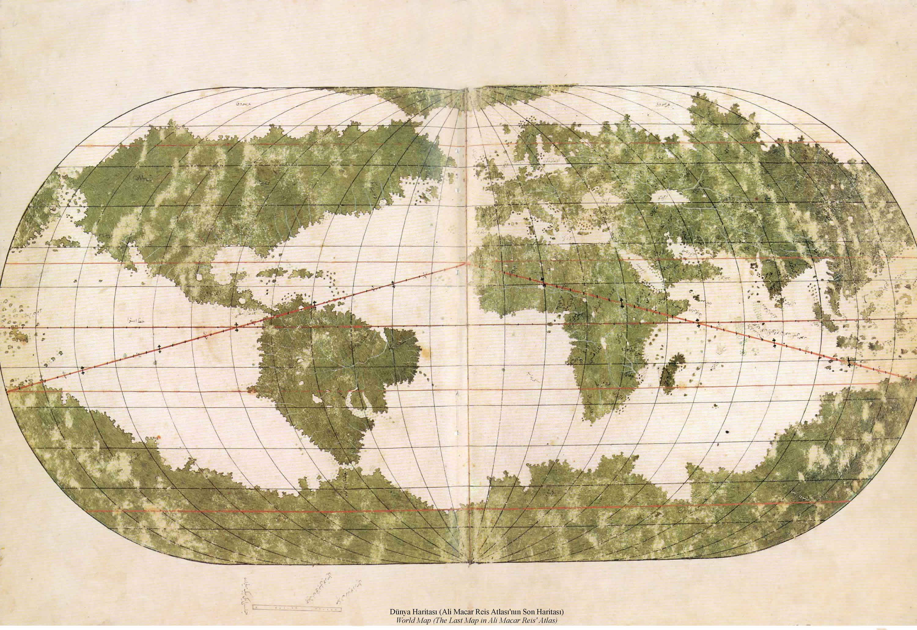
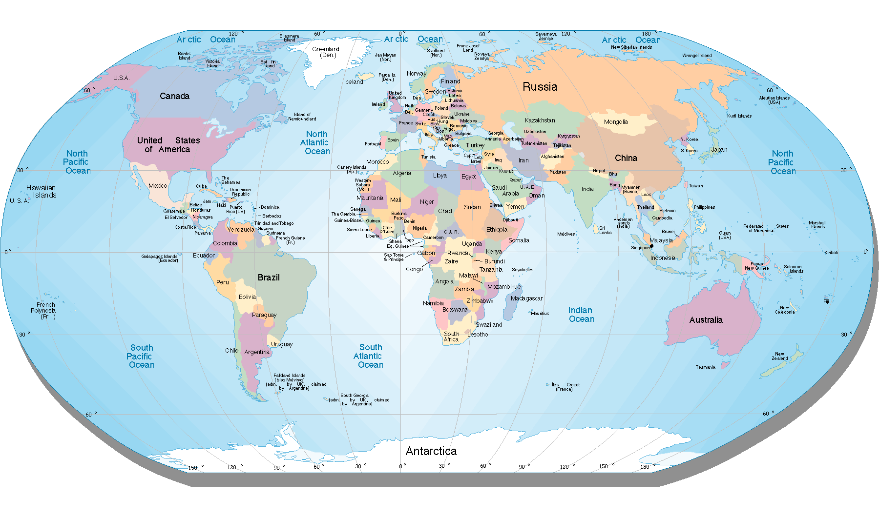
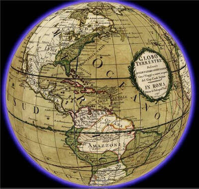
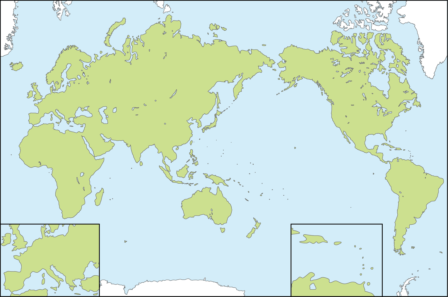
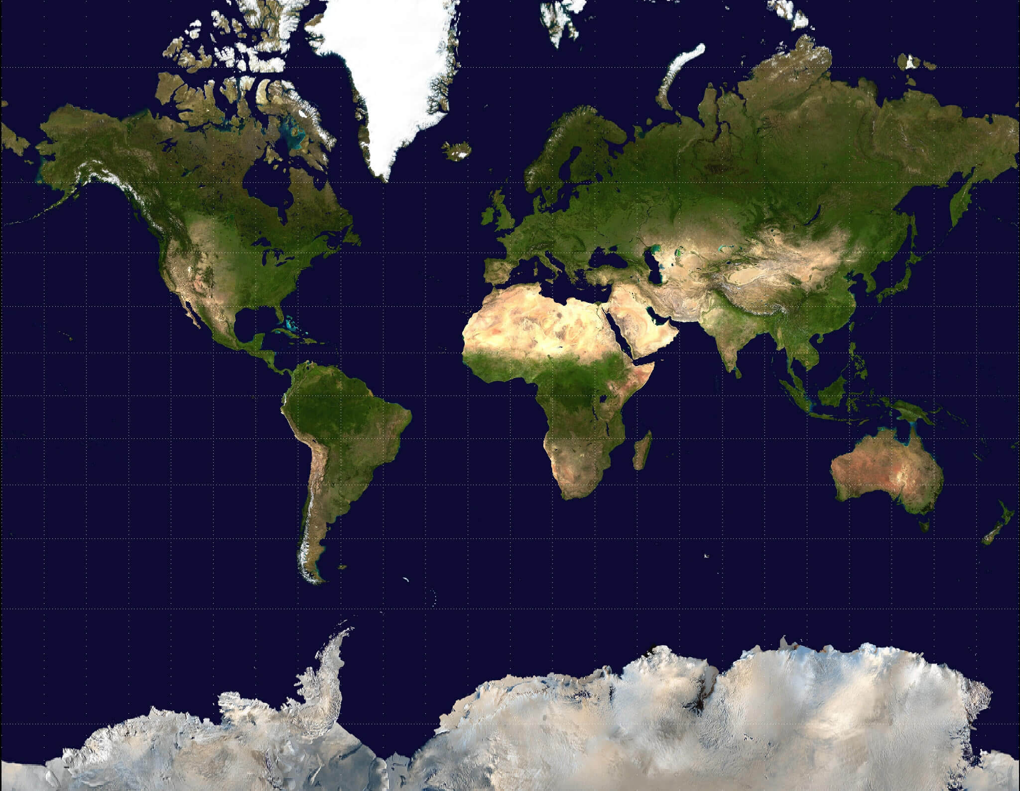
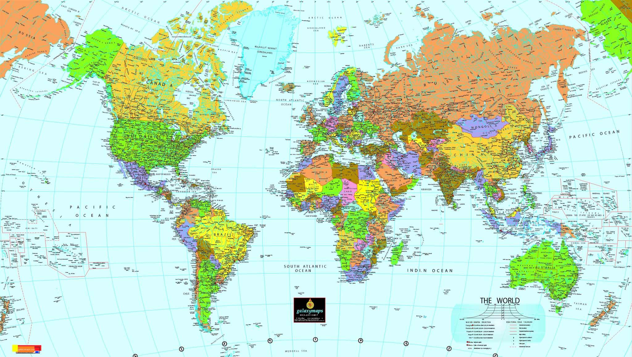
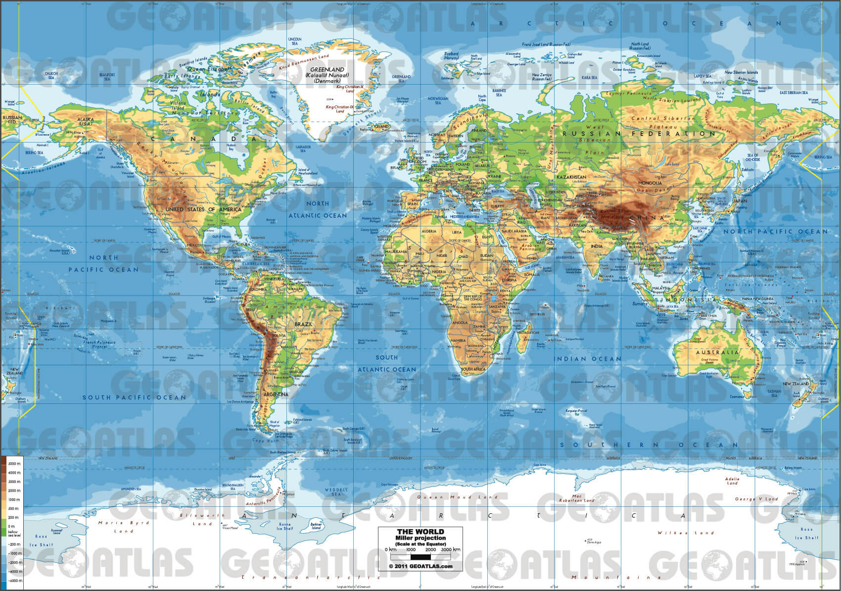
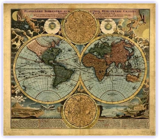
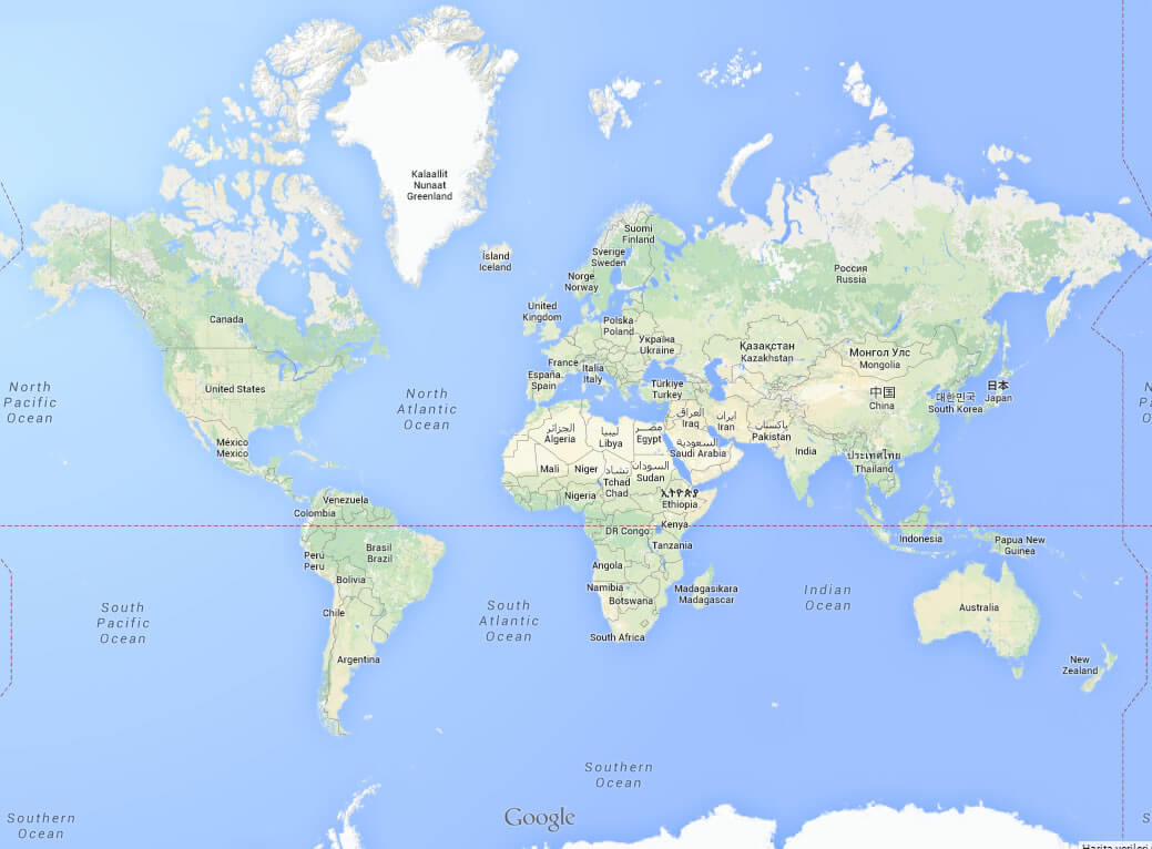
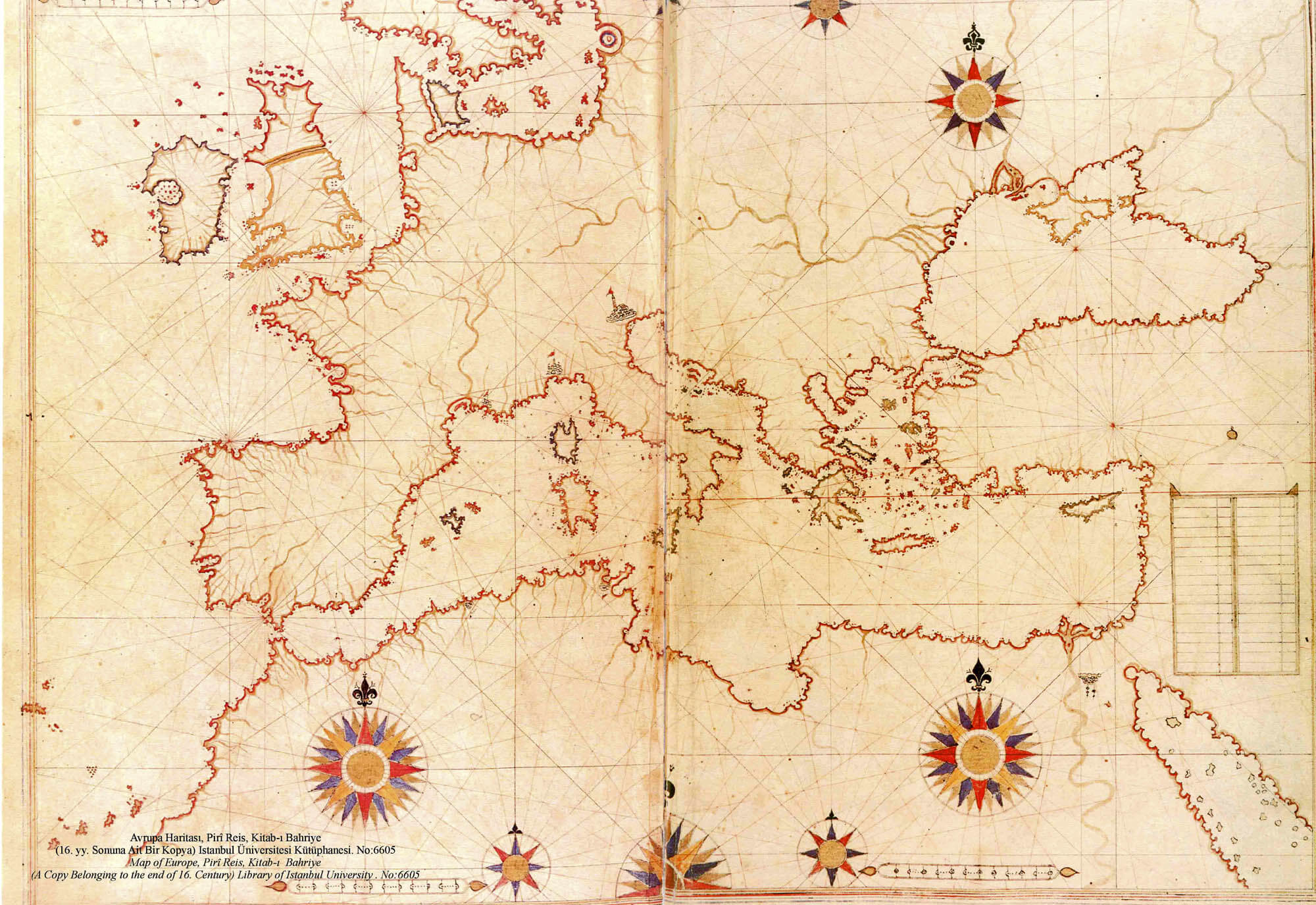
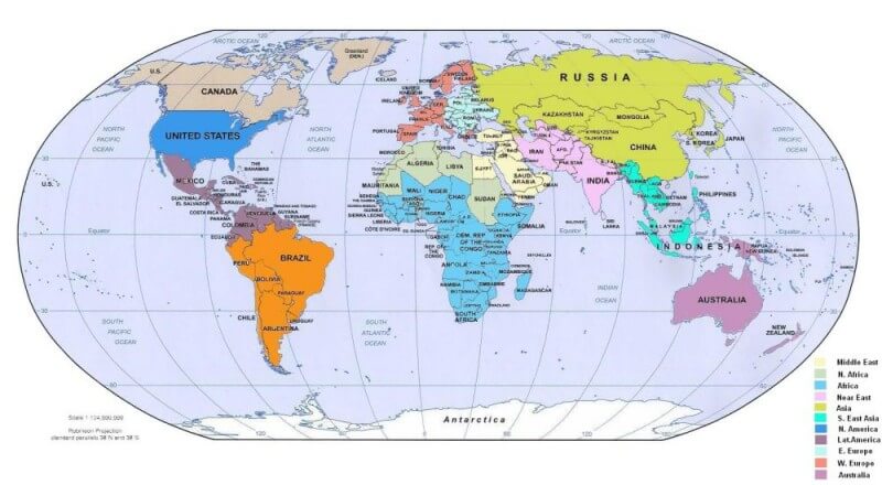
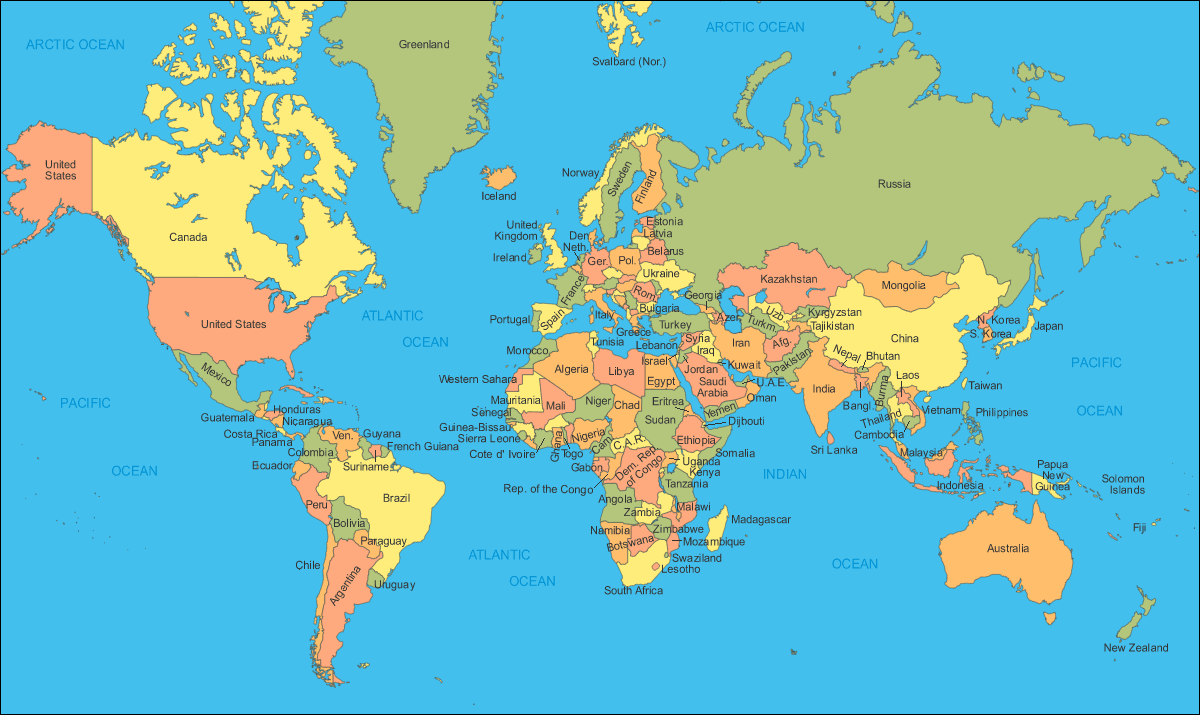
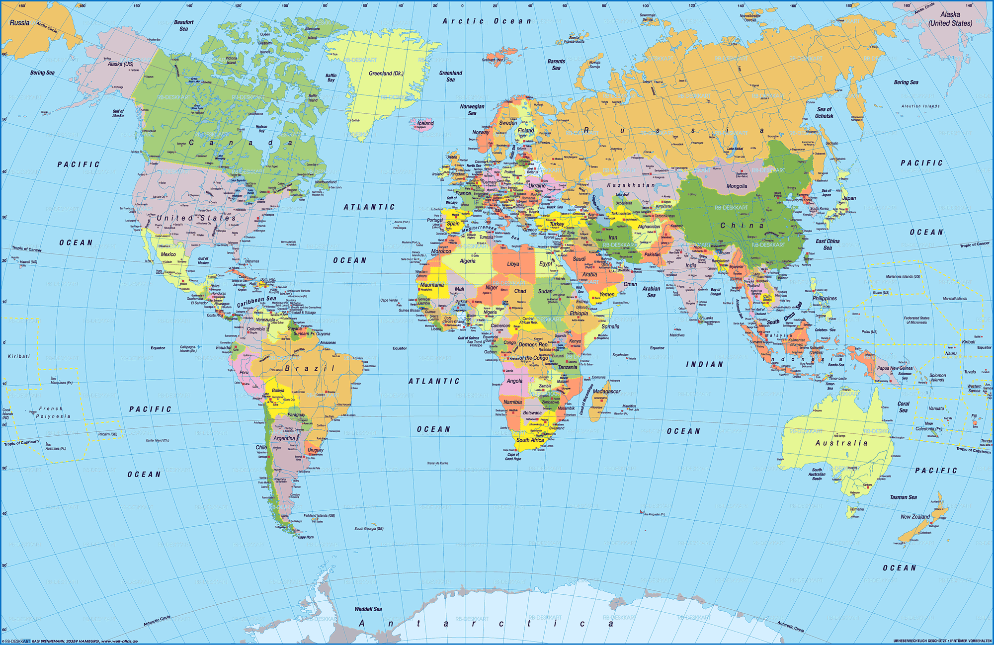
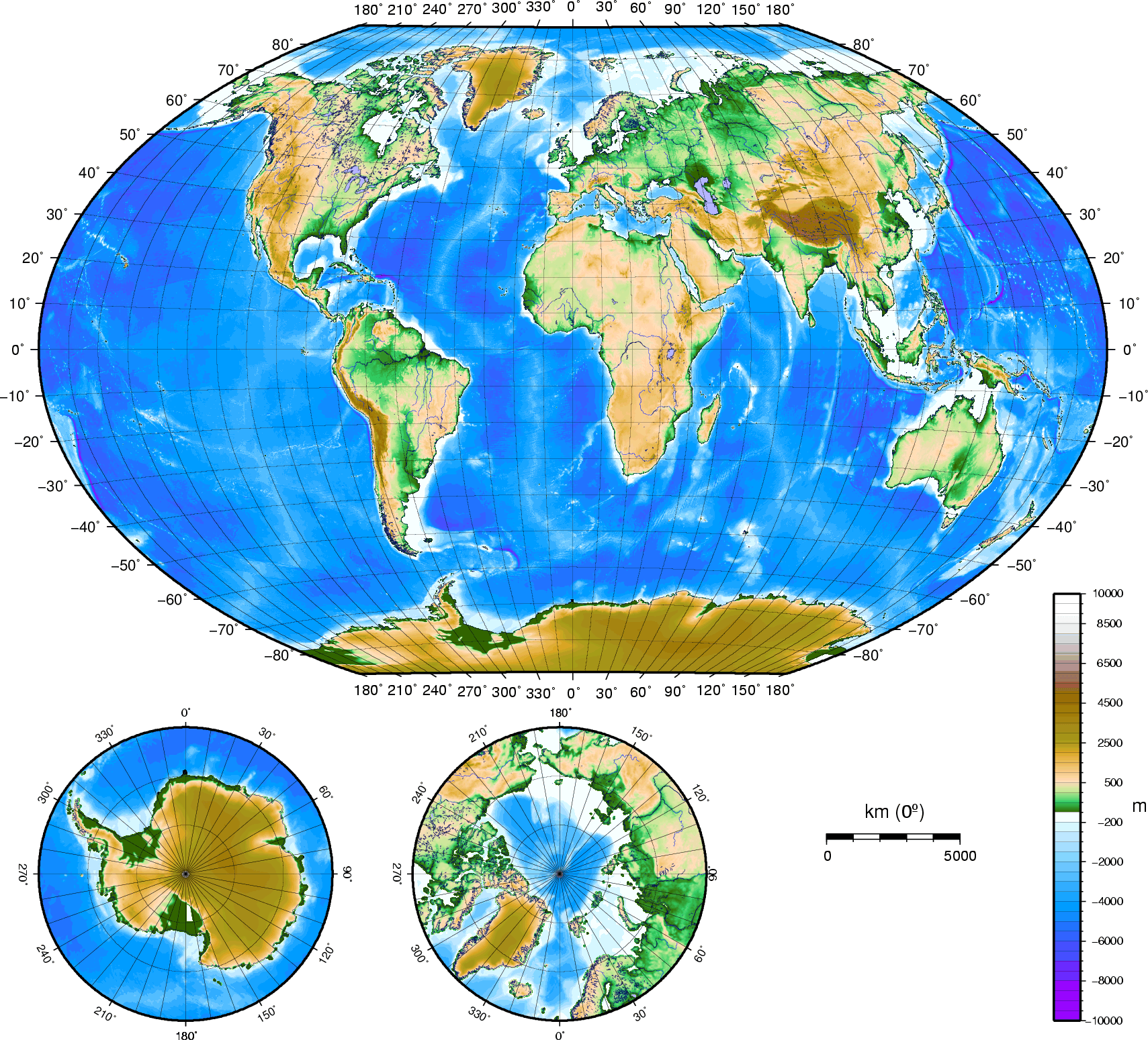
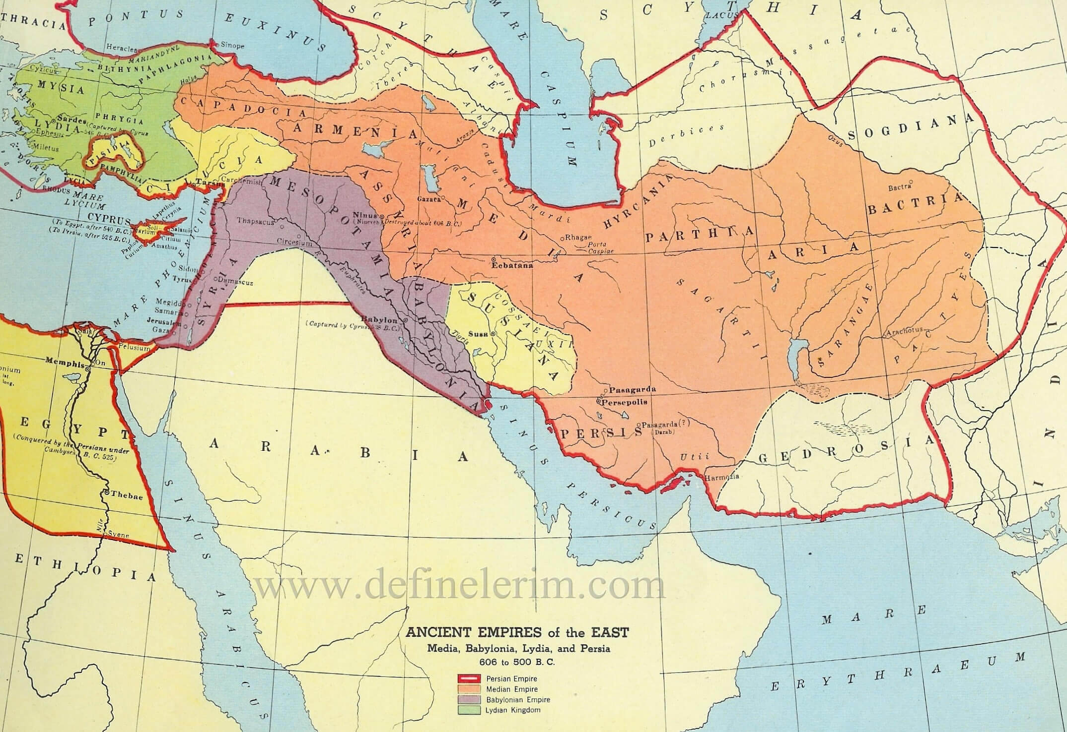
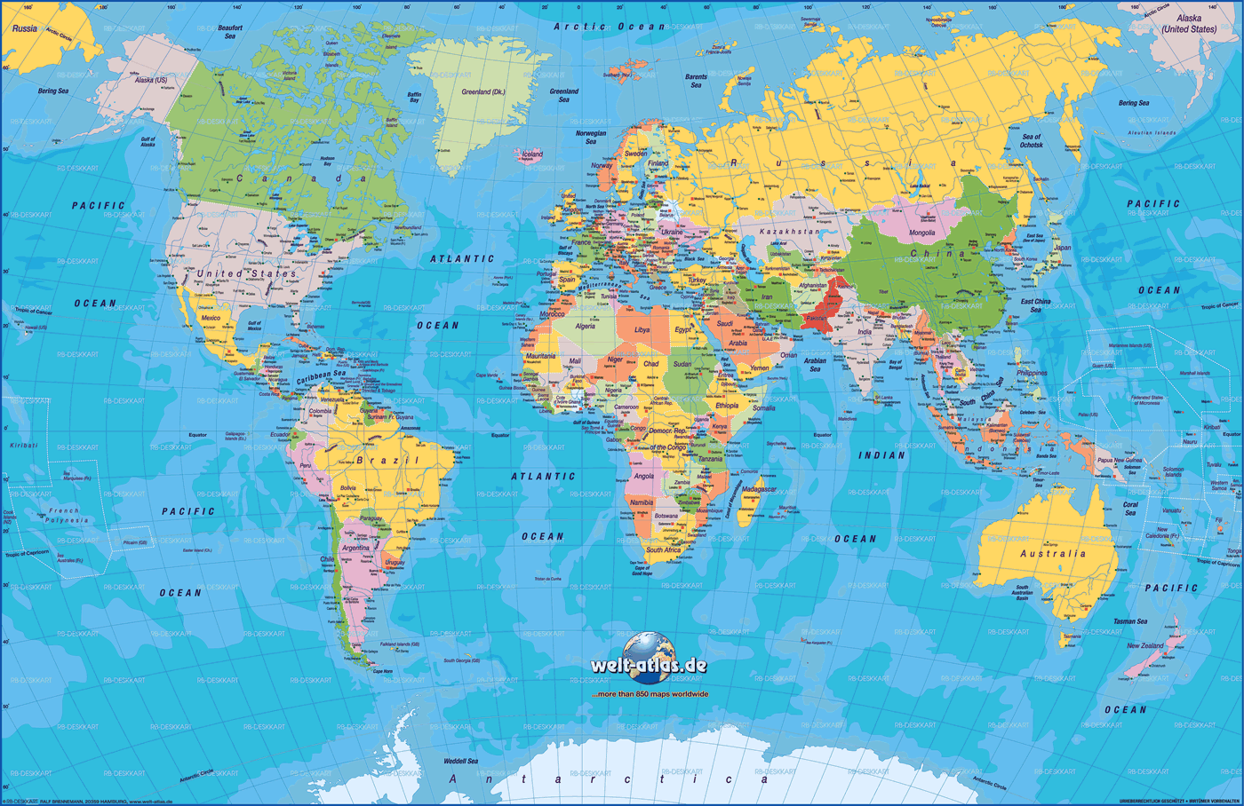
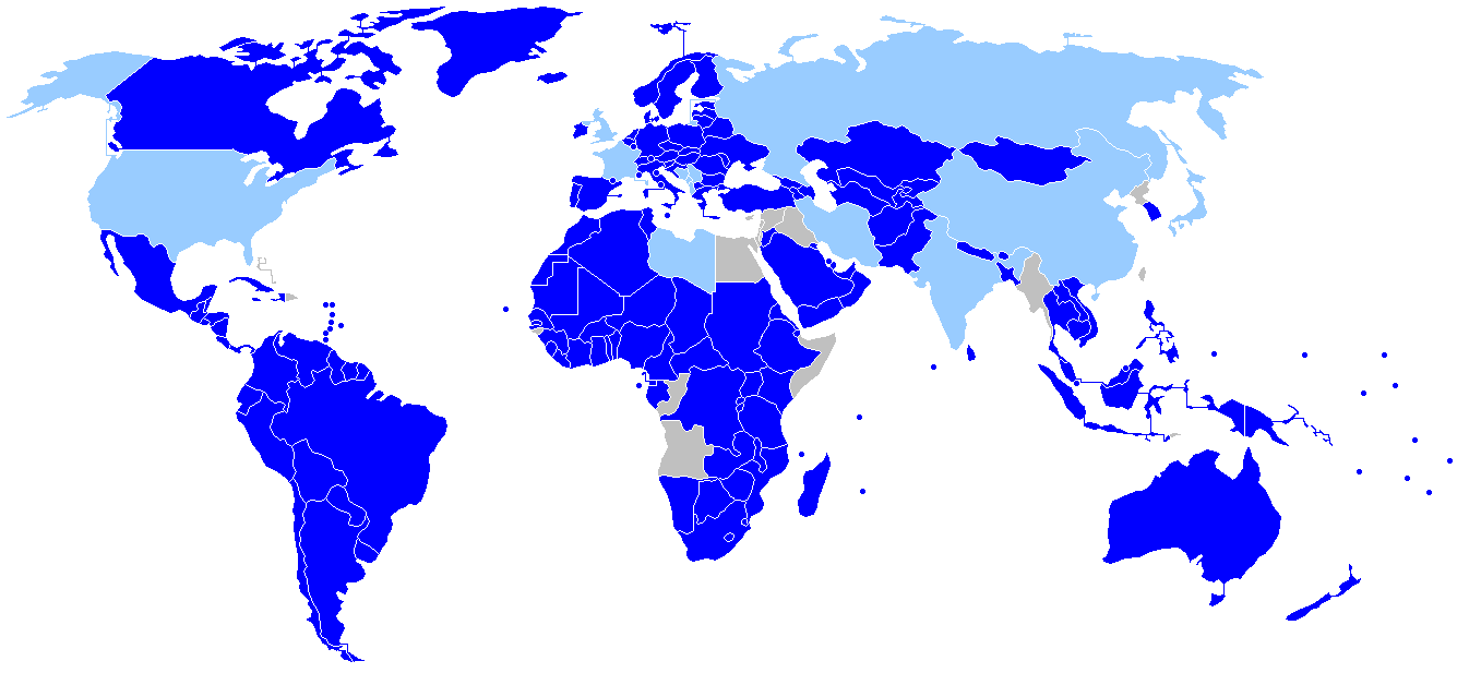
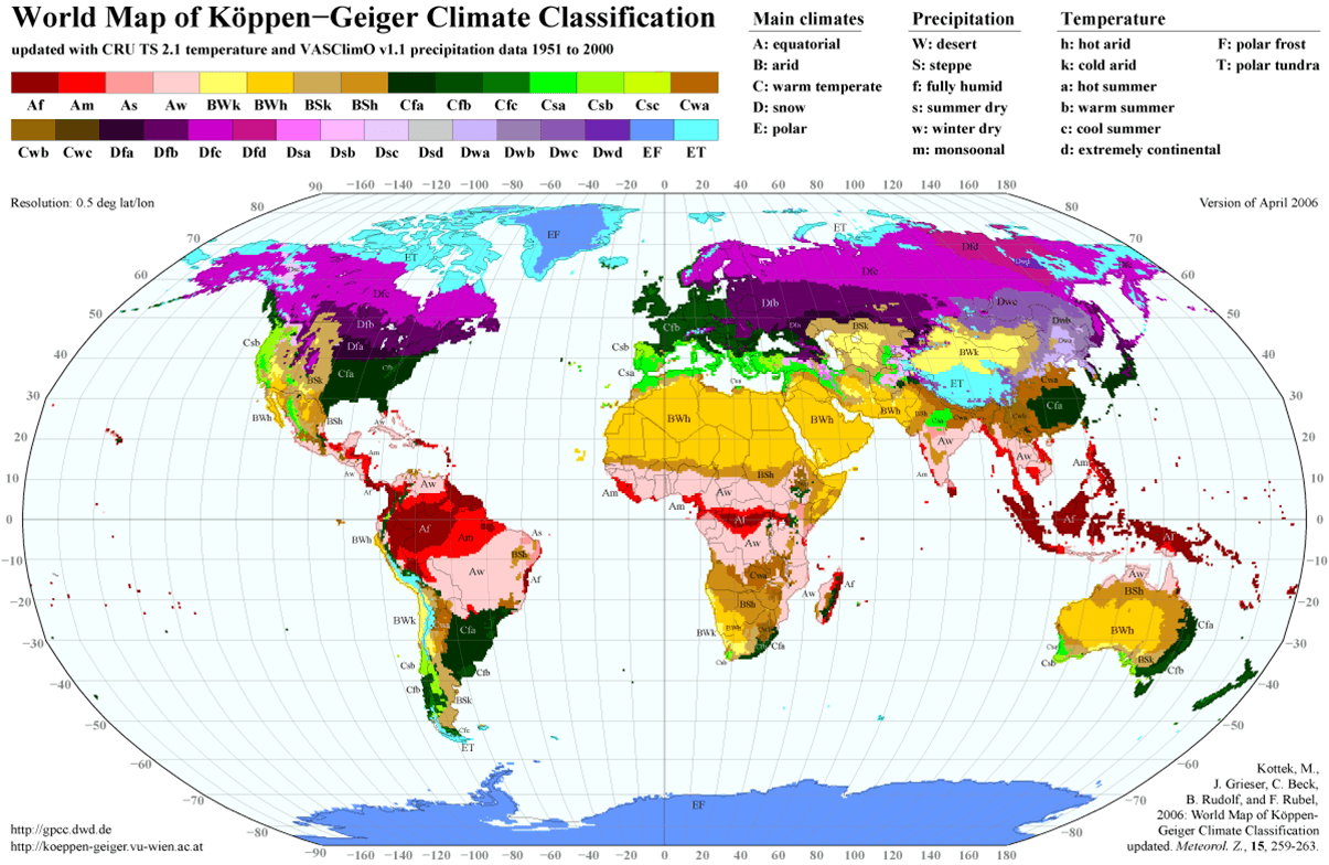
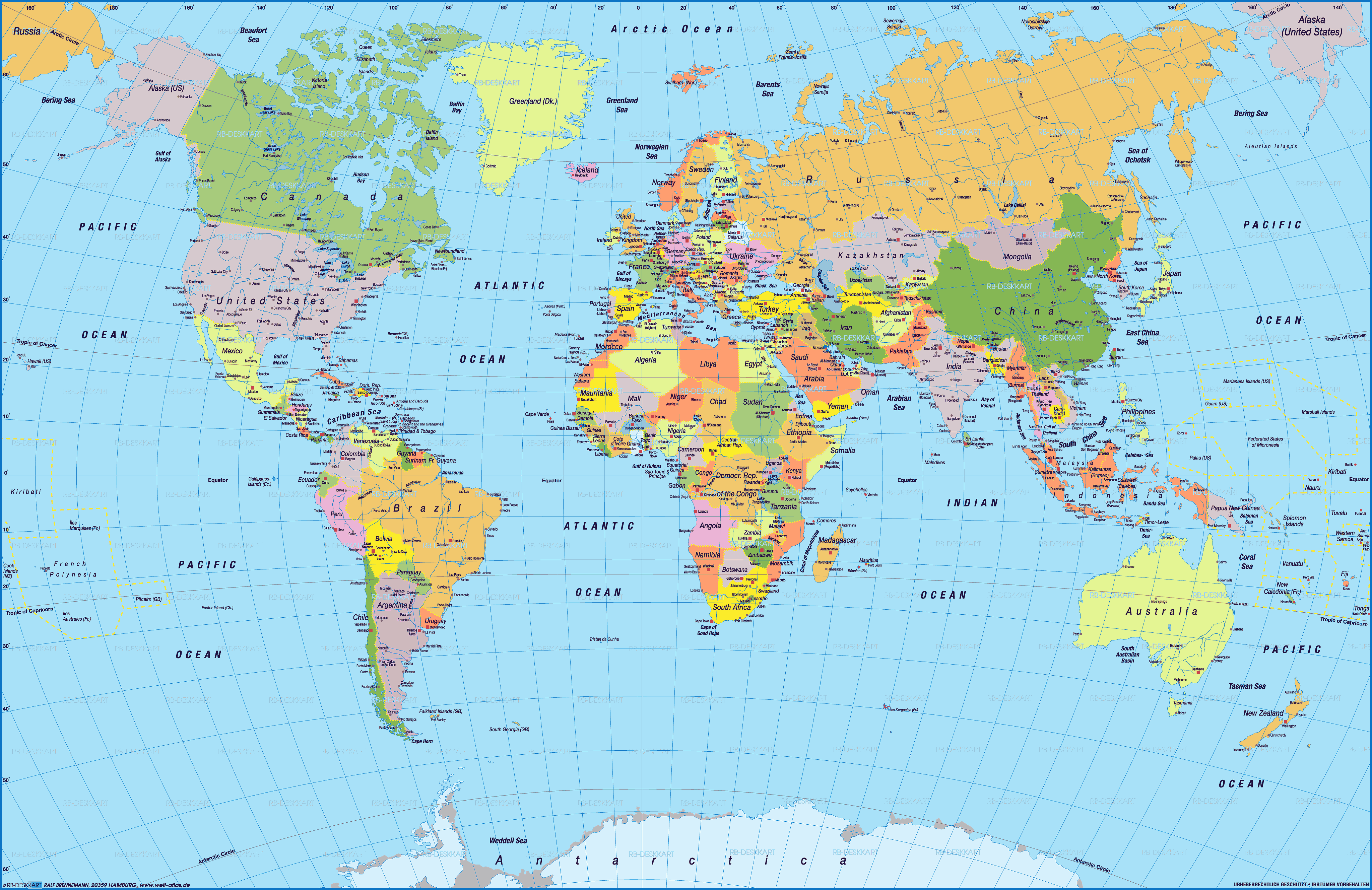
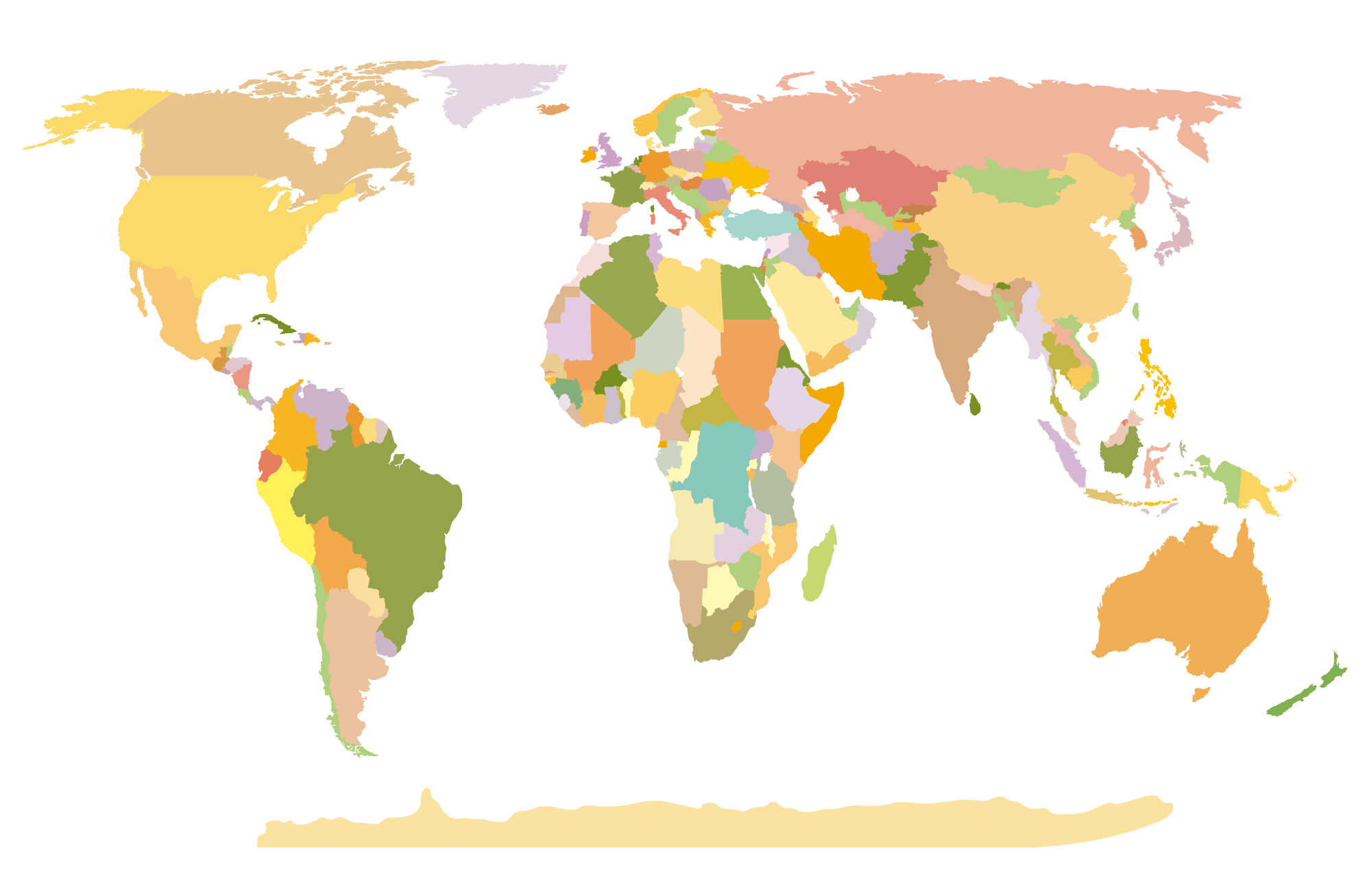
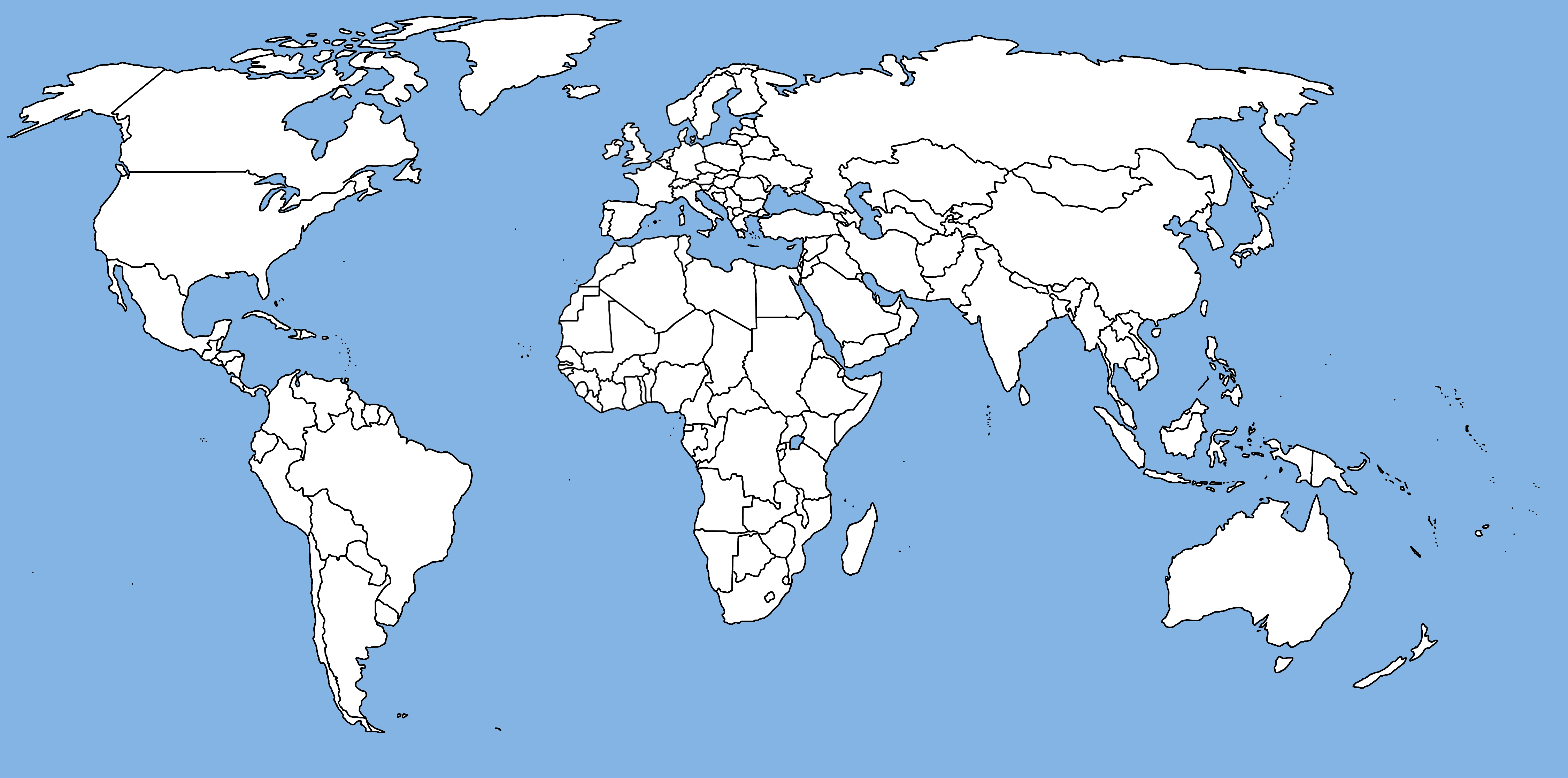
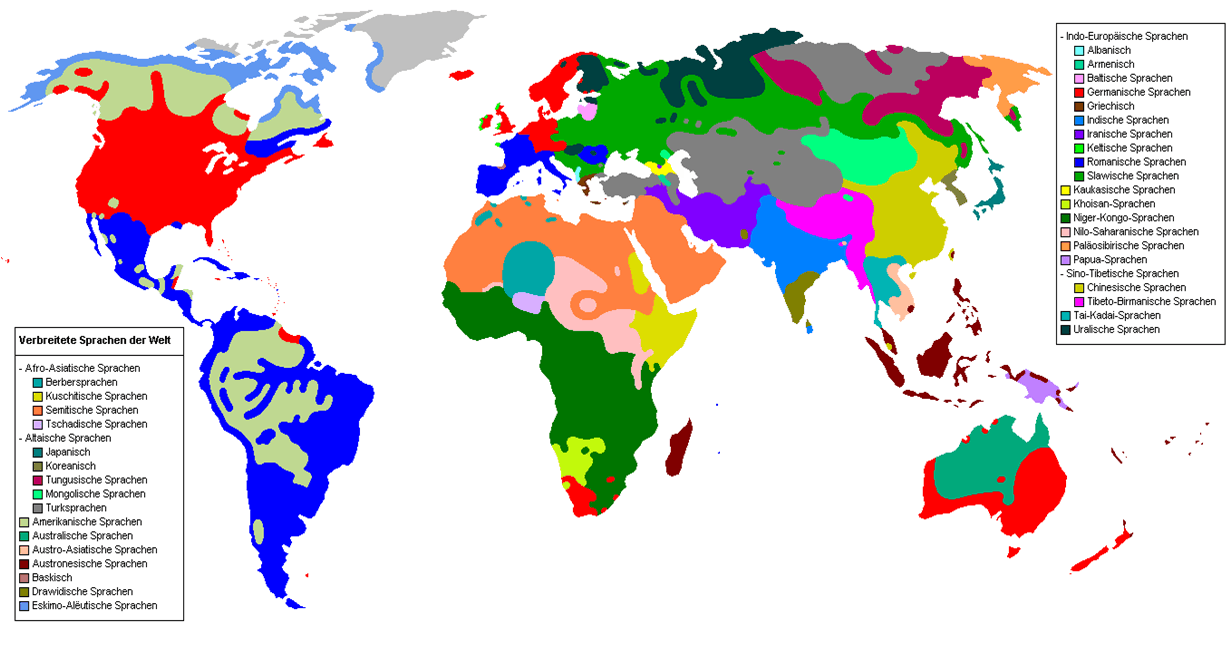
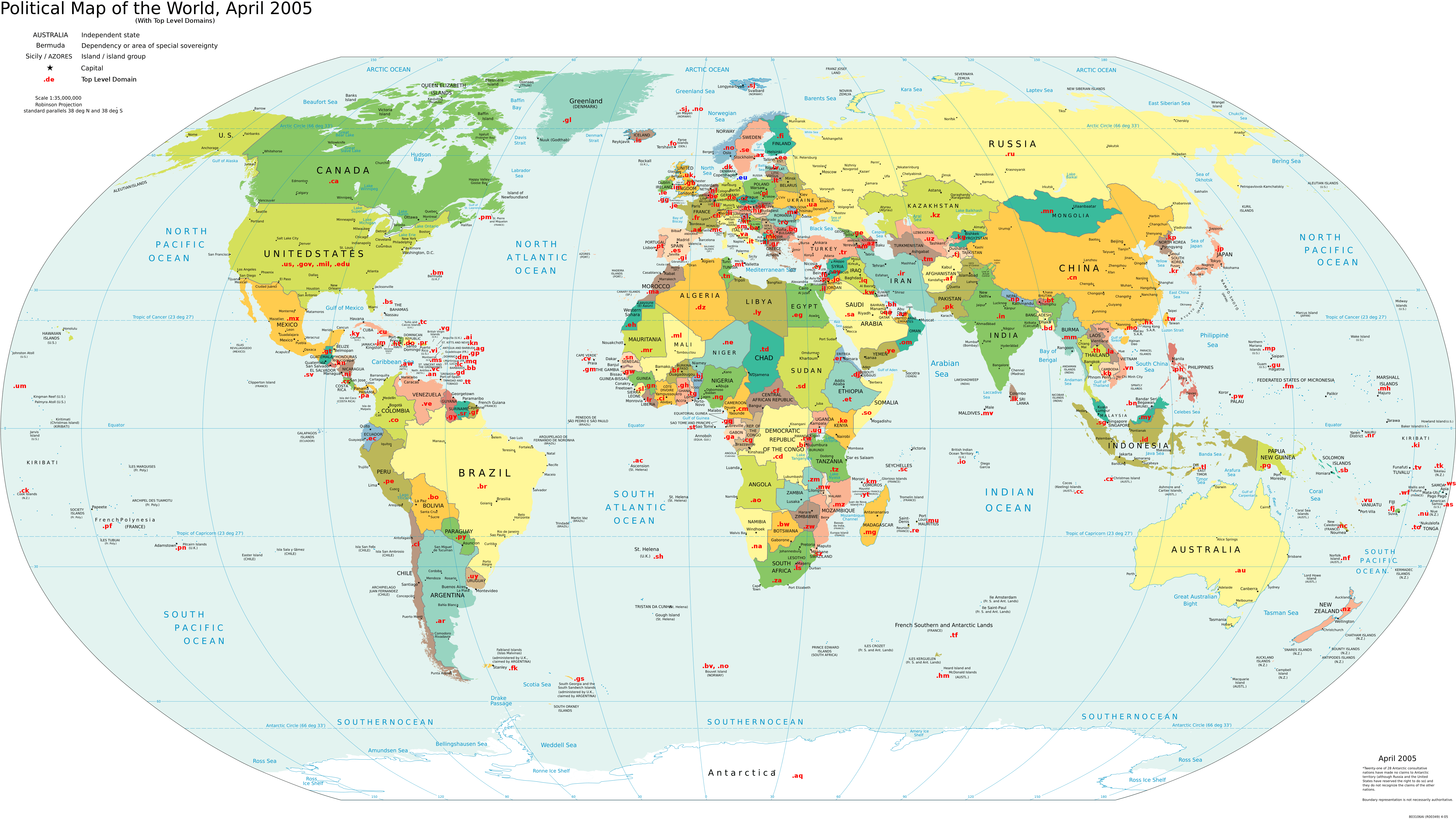
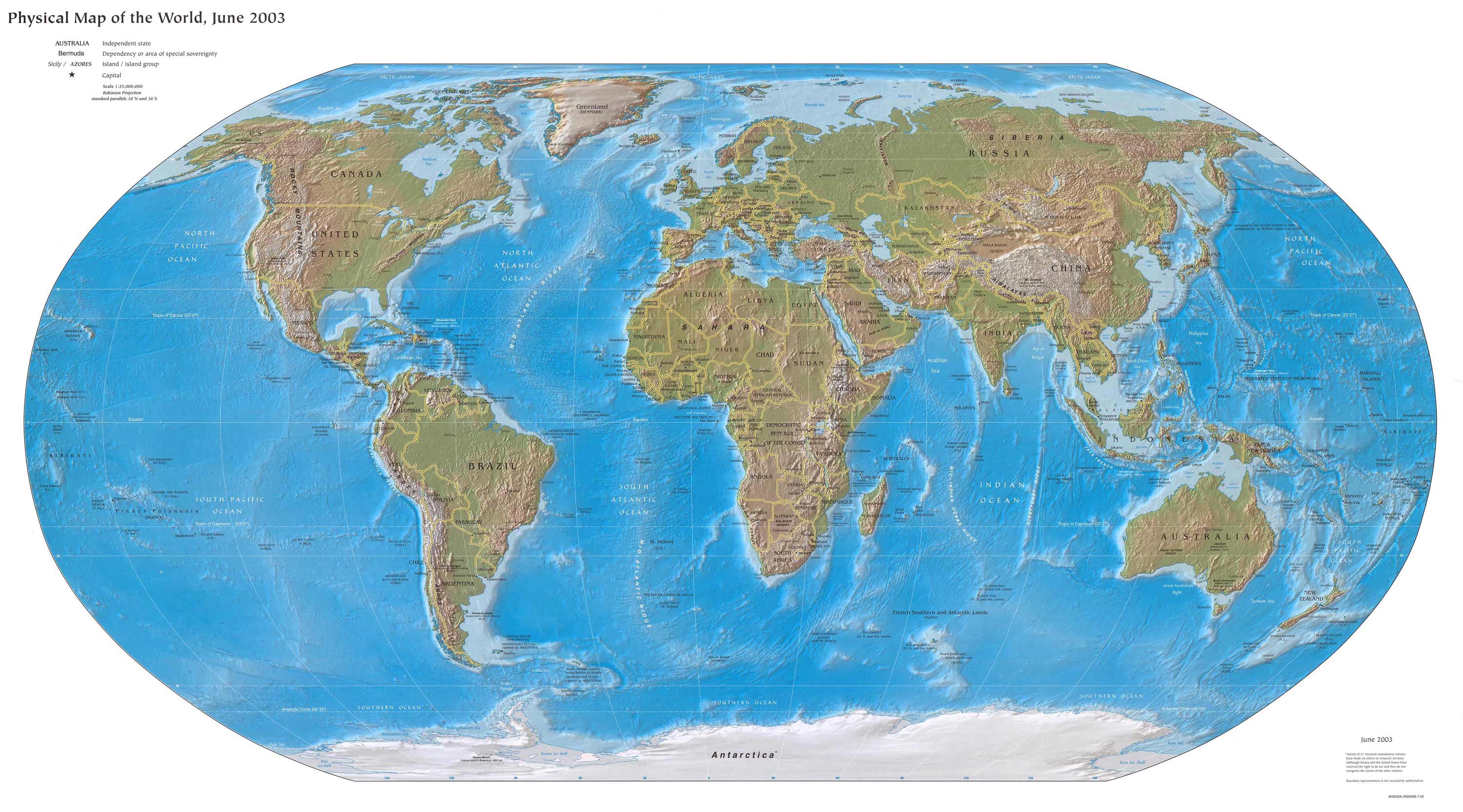
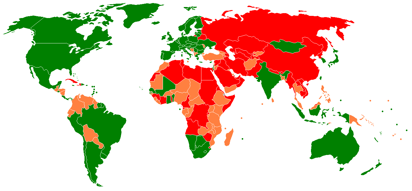
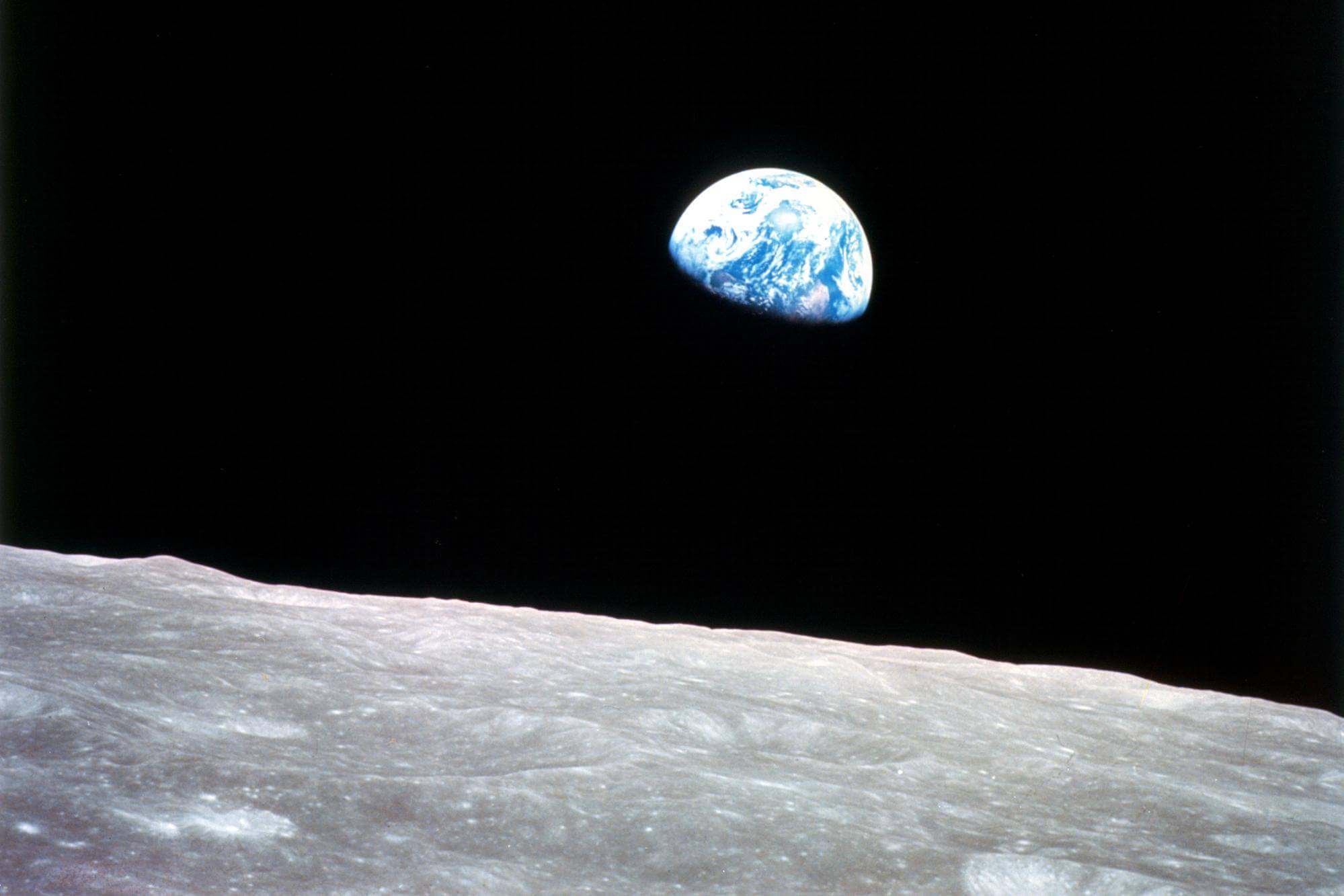
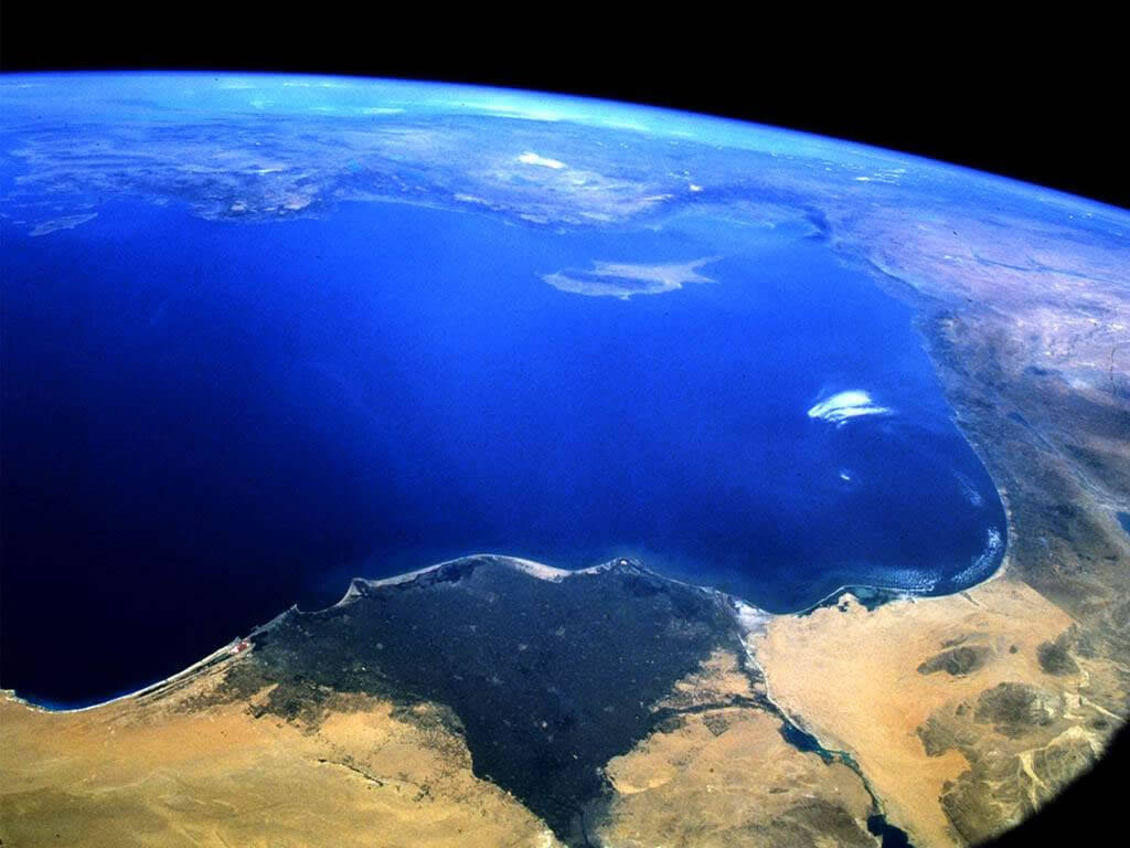
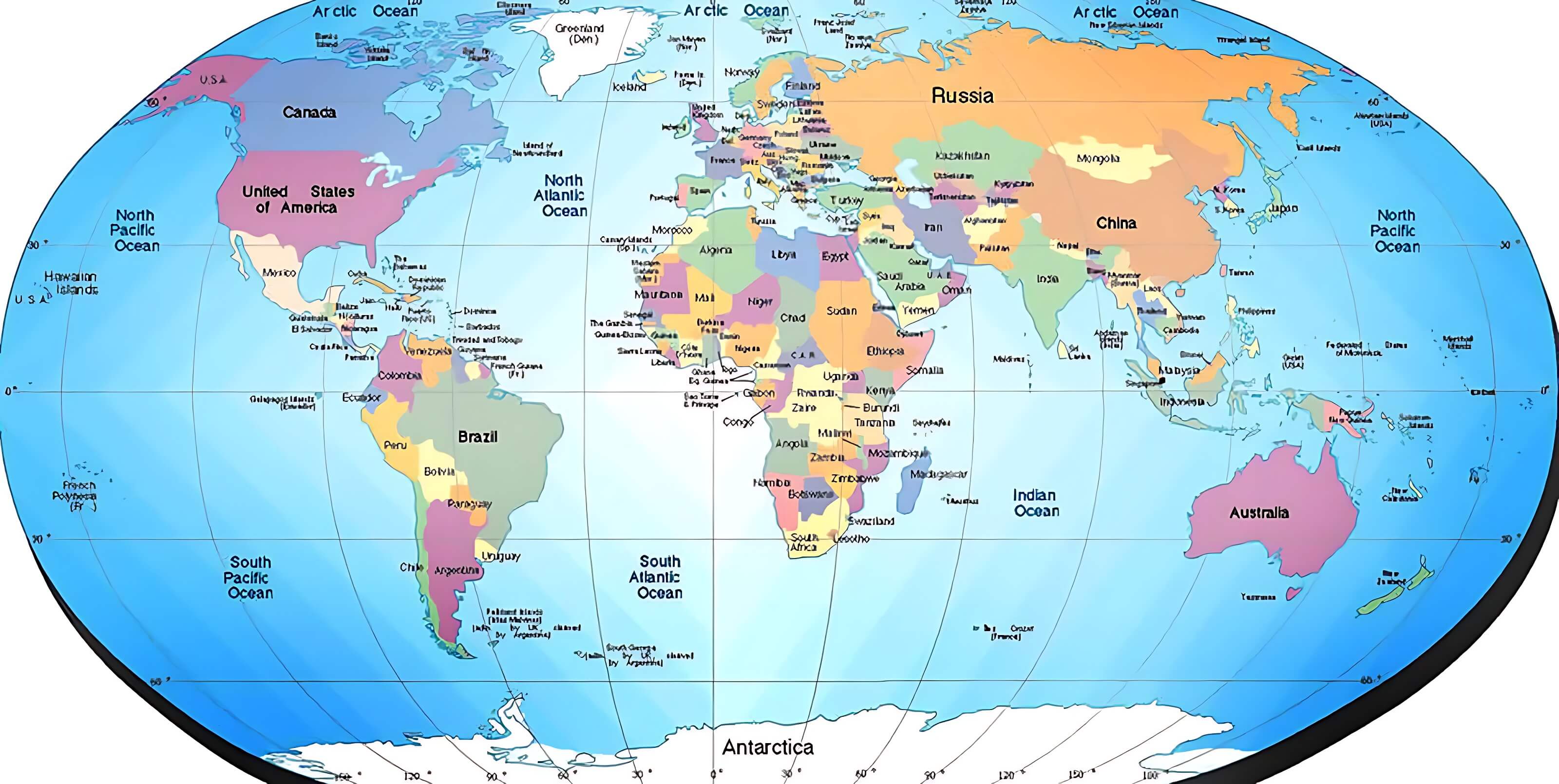
A world map is a visual representation of the Earth's surface, depicting the geography and topography of the planet. It is a tool used to understand the distribution of land masses, bodies of water, and other physical features. World maps have been created throughout history, with early examples dating back to ancient civilizations.
Over time, advances in technology and cartography have led to the development of more accurate and detailed world maps. Today, world maps are widely used for a variety of purposes, from navigation and exploration to education and research. They are an essential tool for understanding the world we live in and the diverse cultures and environments that exist across the globe.
Author: Arif Cagrici
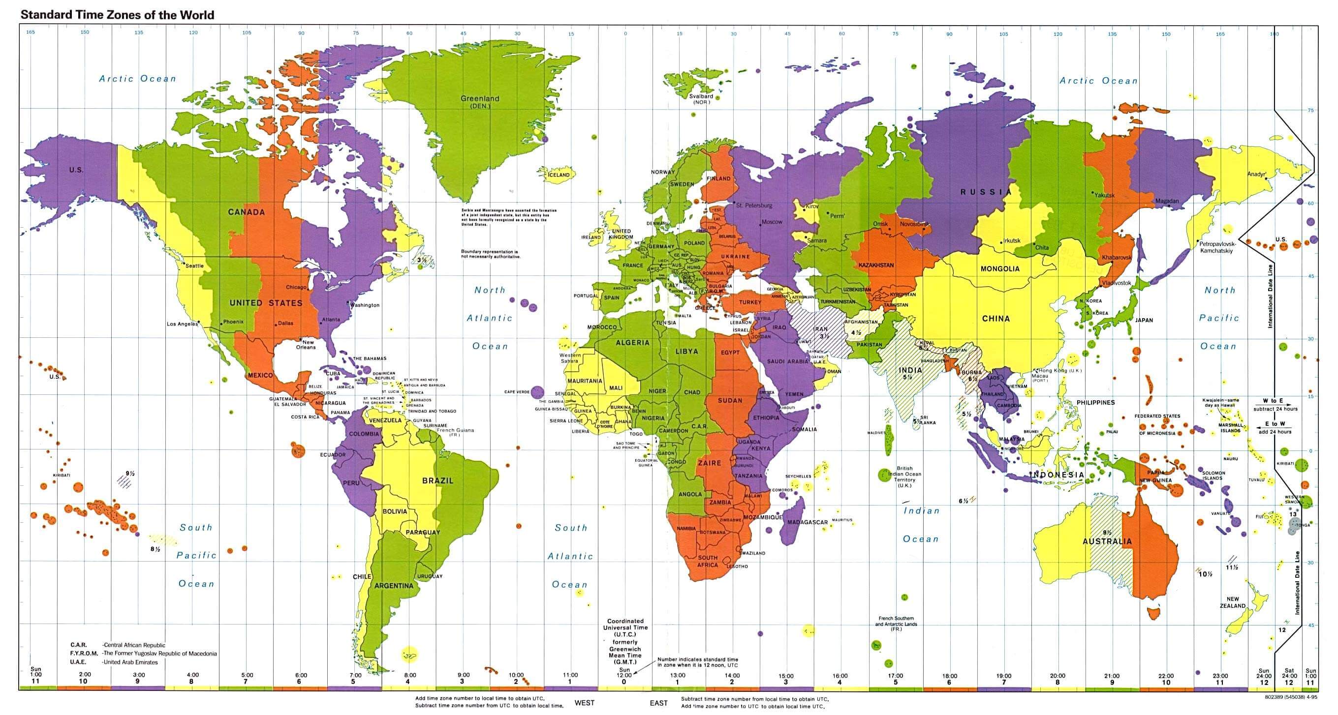
Map of the World
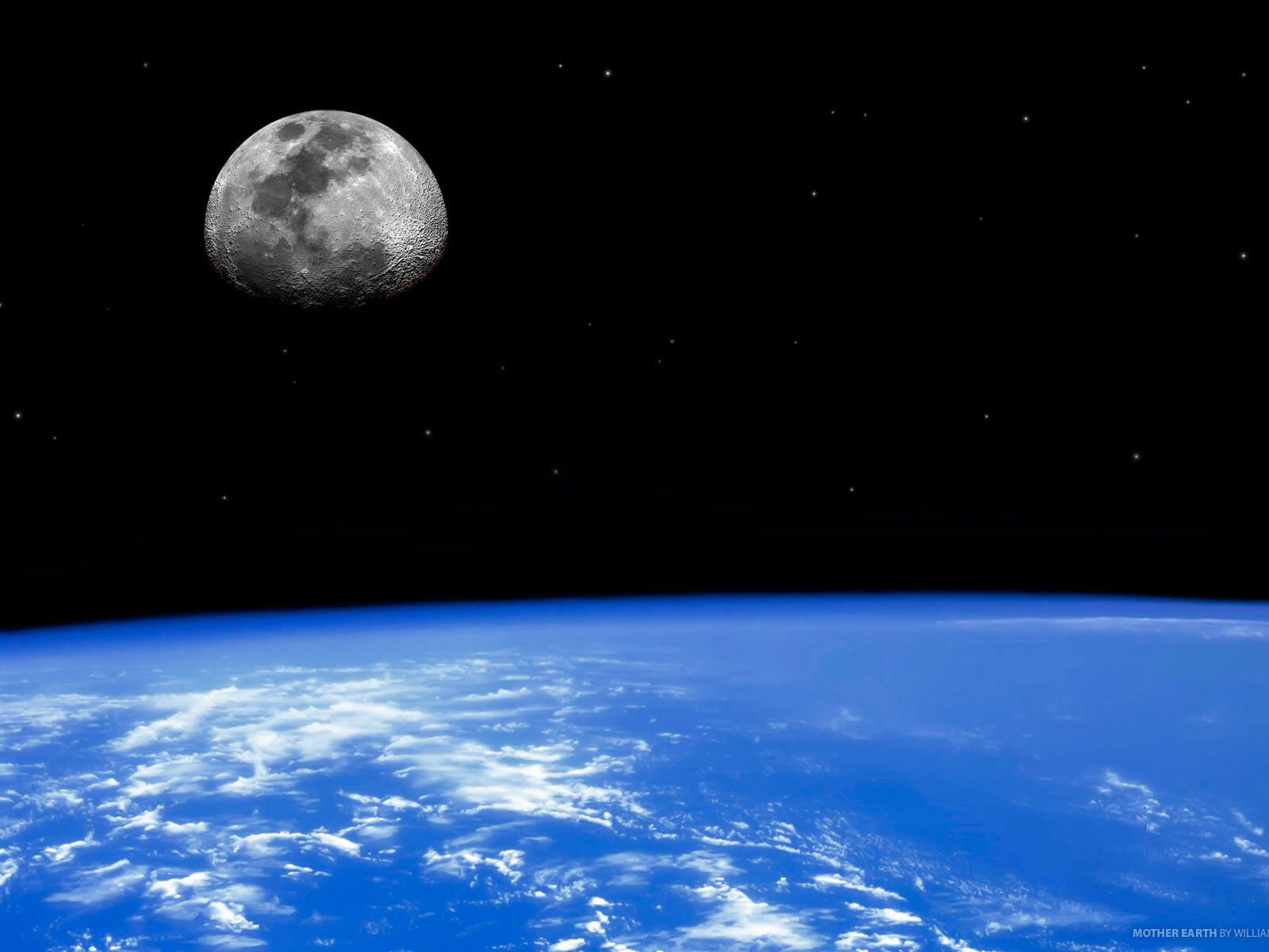
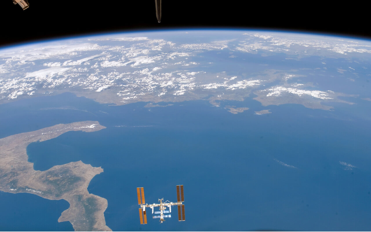
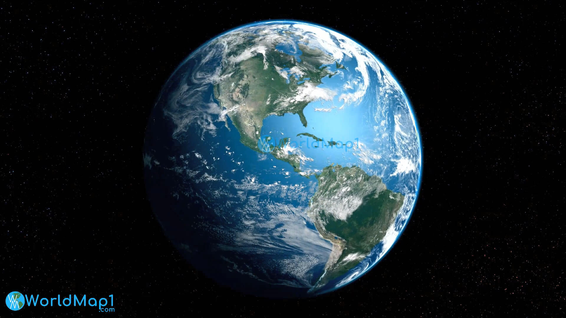
World and North America - South America from Space
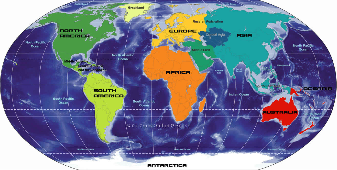
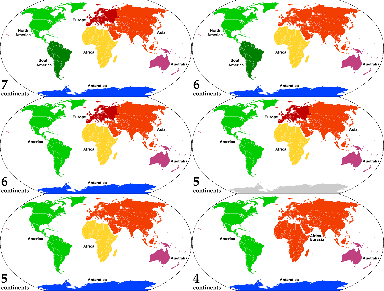
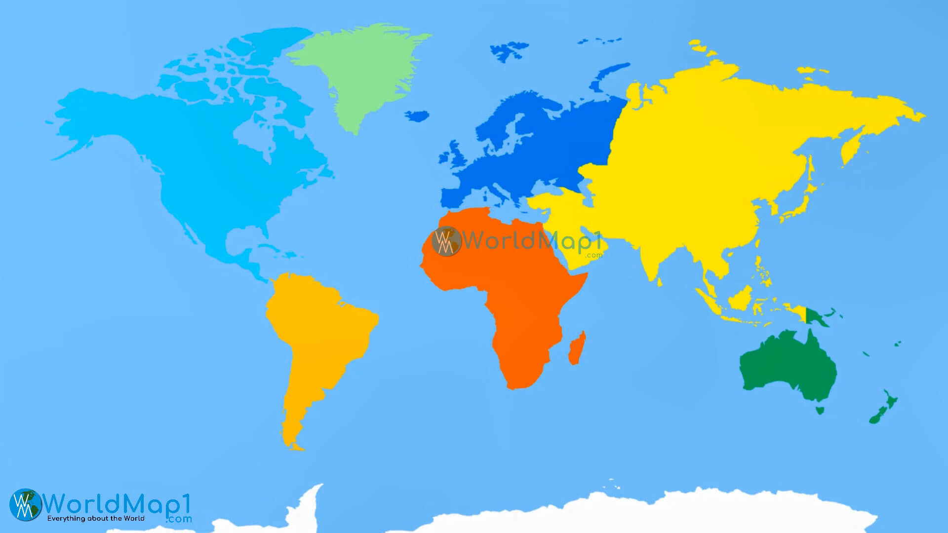
World Continents Colorful Map
Top 21 World's Most Expensive Cities to Live in 2021
Please subscribe on "World Guide" channnel on Youtube at youtube.com/c/WorldGuide
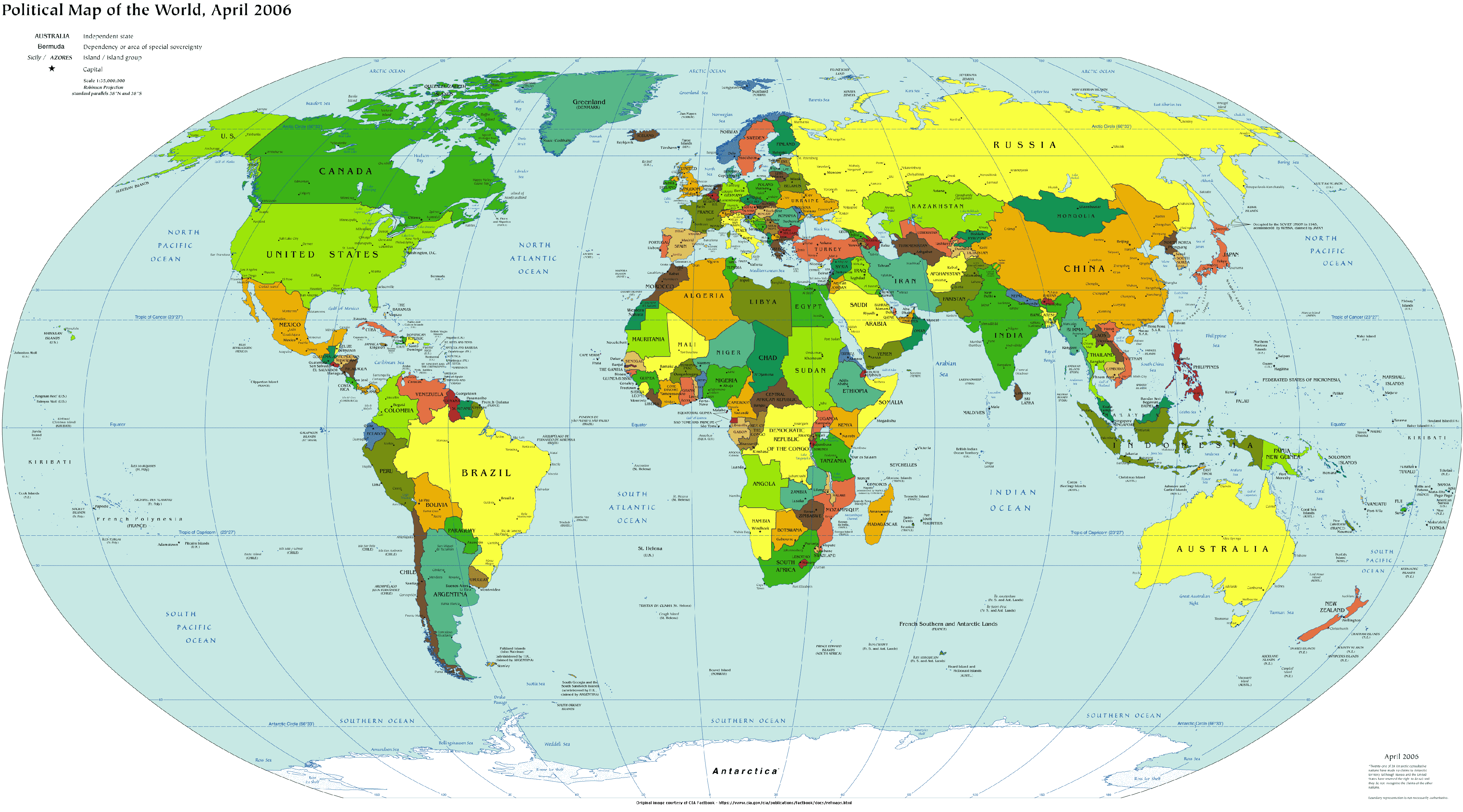
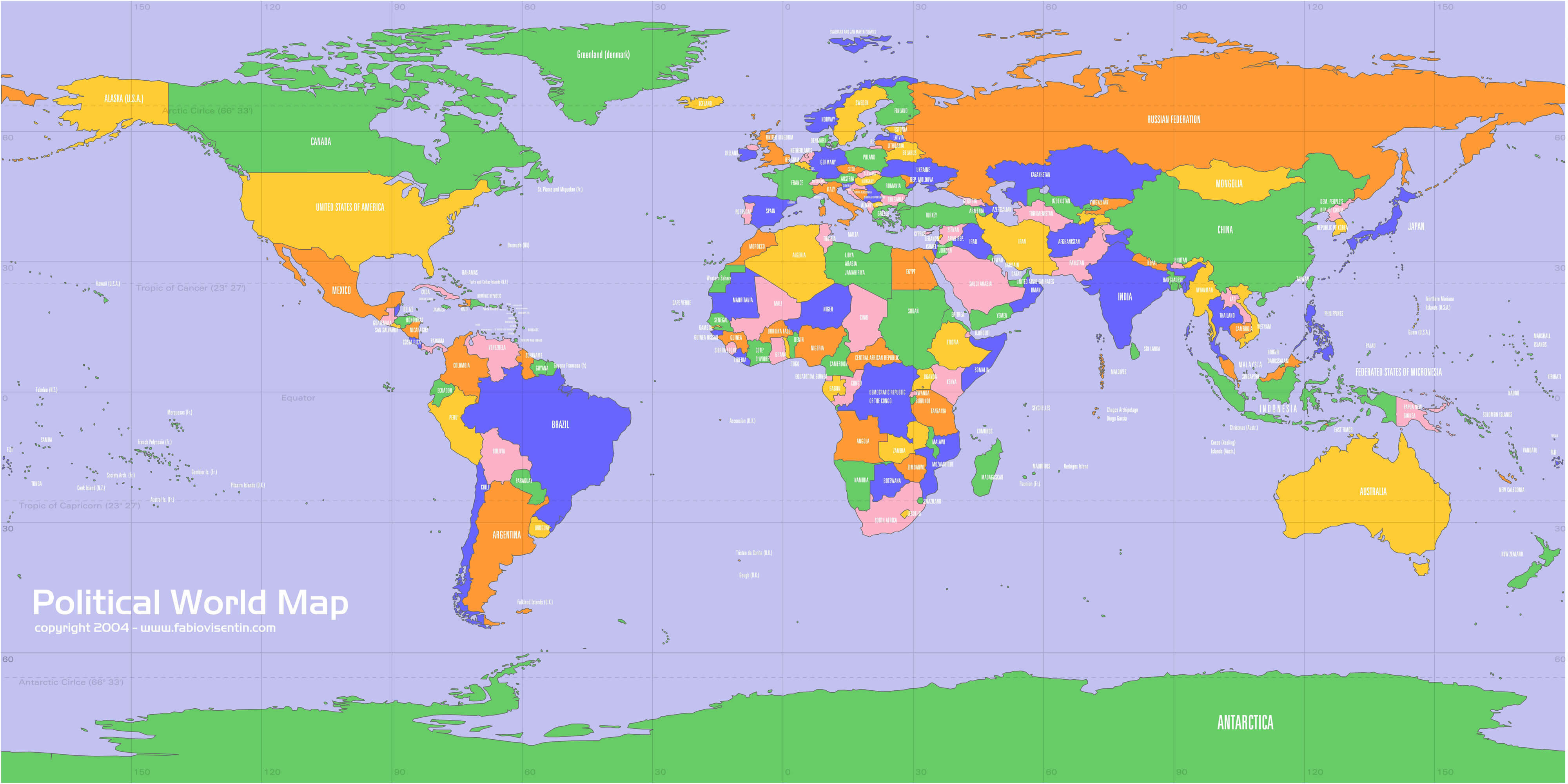
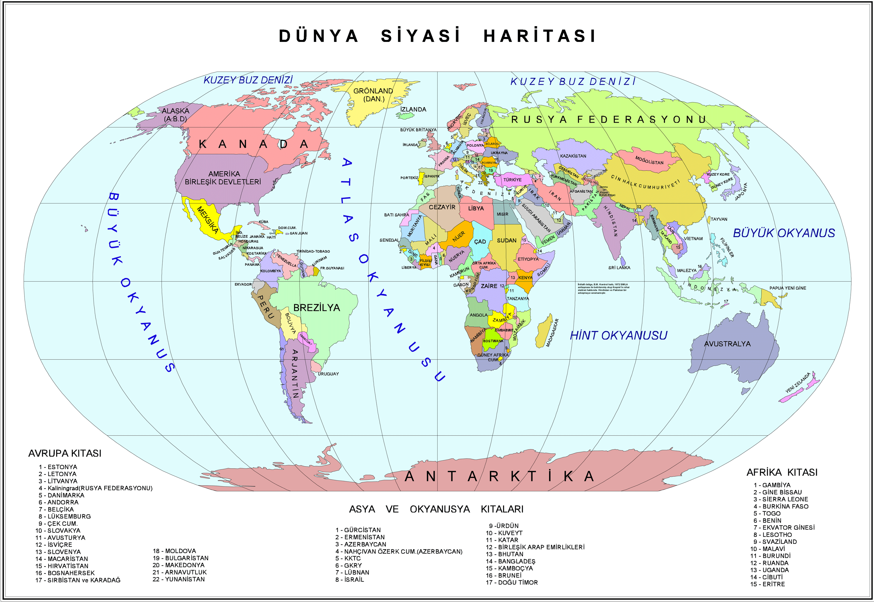
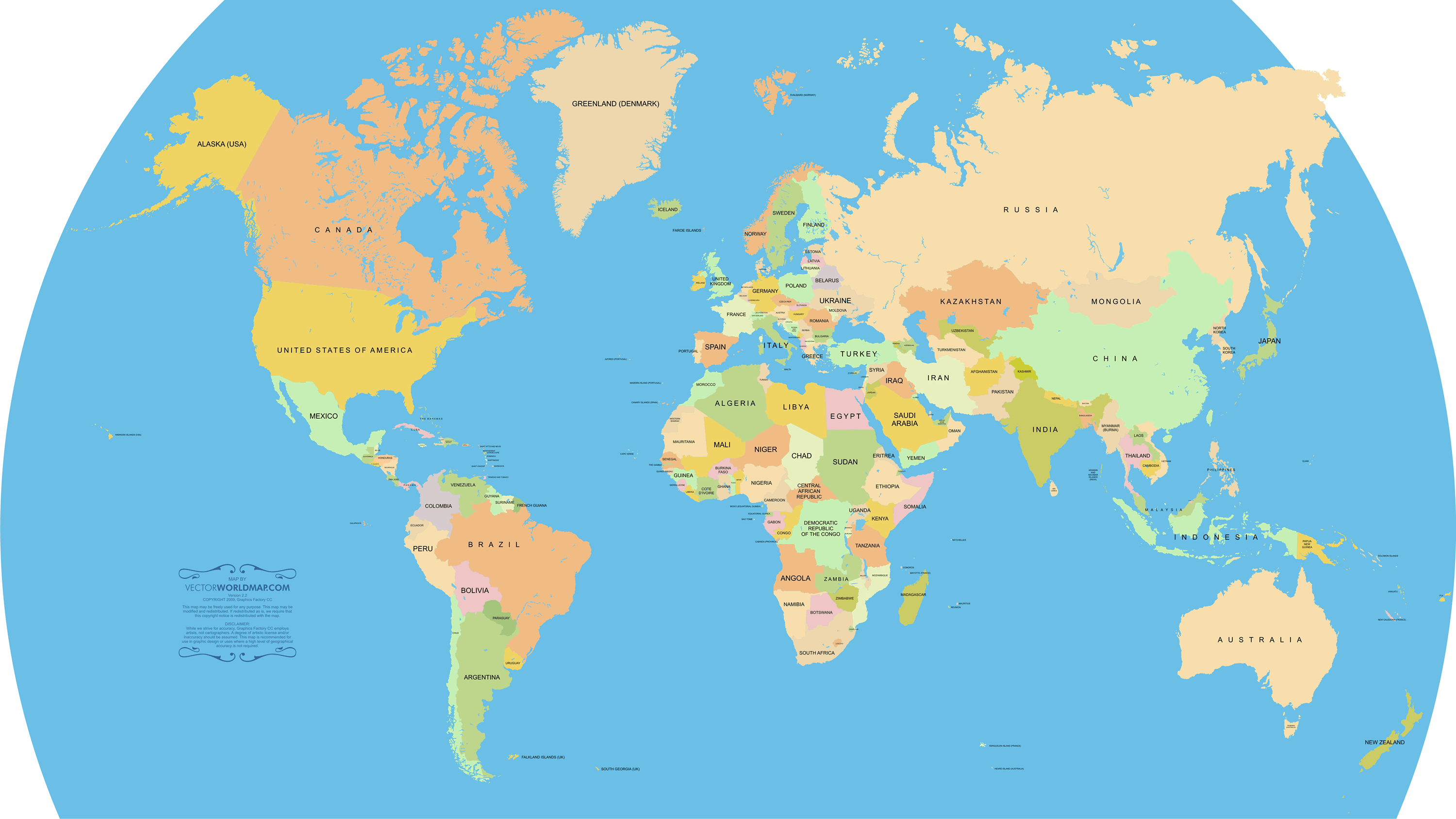
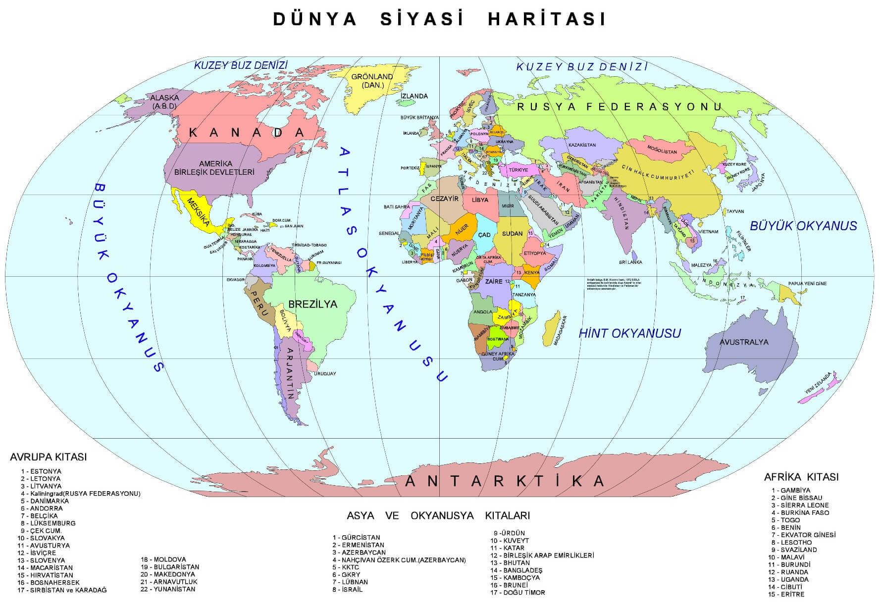
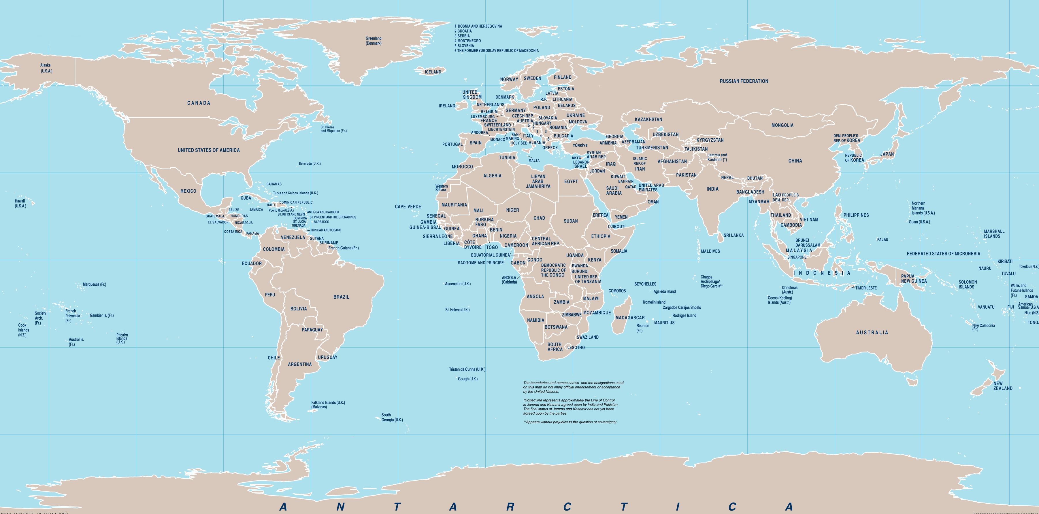
Political Map of the World
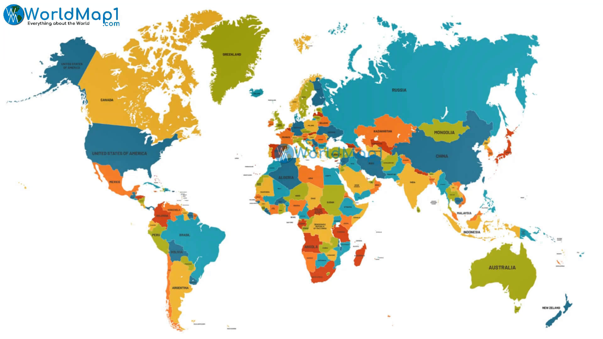
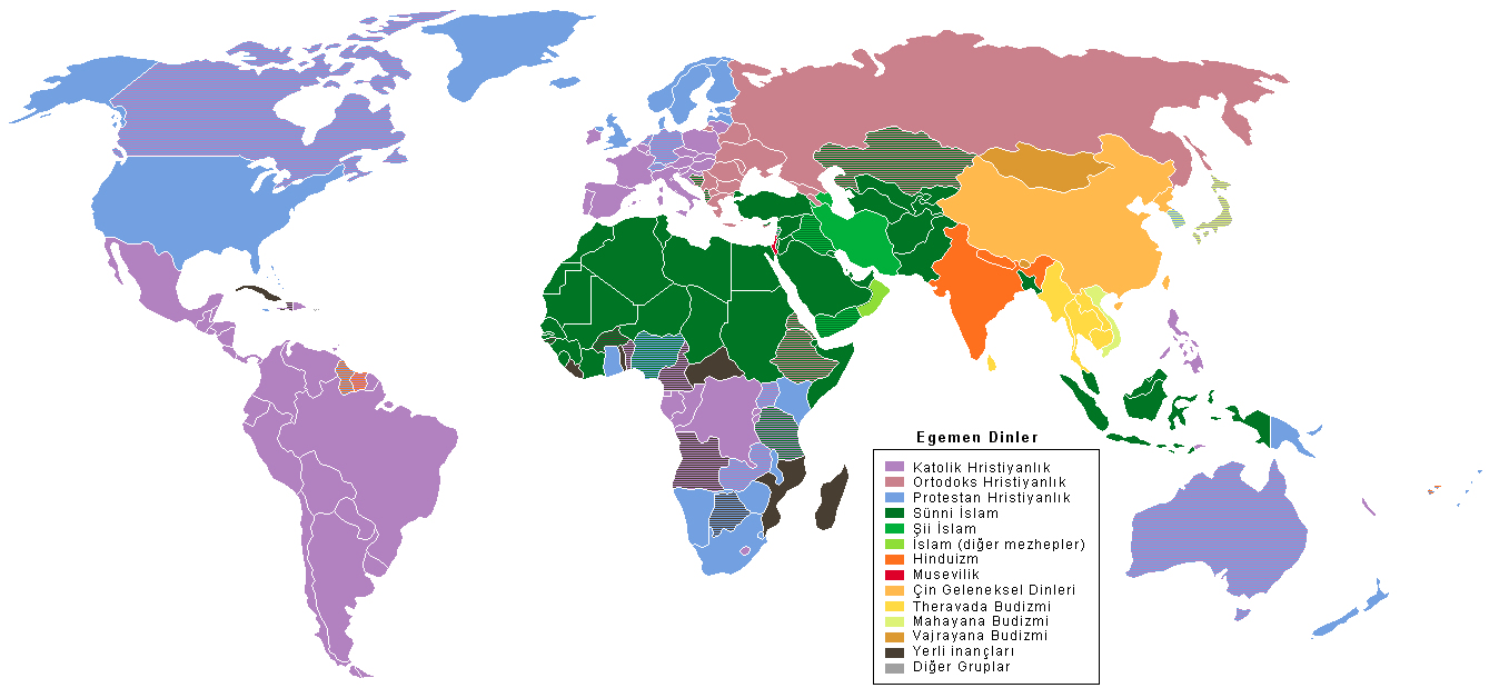
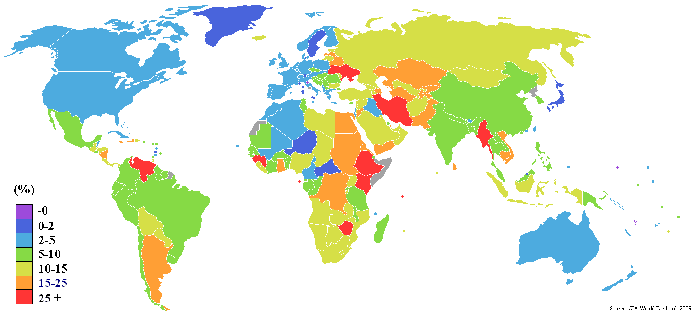
A collection of World Maps
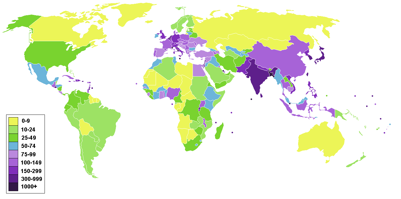
World Top 20 Largest Countries by Population
- 1. China - 1,439,323,776
- 2. India - 1,399,828,108
- 3. United States - 333,839,503
- 4. Indonesia - 277,749,346
- 5. Pakistan - 227,153,261
- 6. Brazil - 214,767,569
- 7. Nigeria - 213,593,168
- 8. Bangladesh - 167,086,674
- 9. Russia - 146,025,949
- 10. Mexico - 130,911,878
- 11. Japan - 125,910,309
- 12. Ethiopia - 119,117,925
- 13. Philippines - 111,711,419
- 14. Egypt - 105,152,003
- 15. Vietnam - 98,618,321
- 16. Democratic Republic Congo (DRC) - 93,531,207
- 17. Turkey - 85,664,955
- 18. Iran - 85,563,317
- 19. Germany - 84,175,561
- 20. Thailand - 68,407,231


