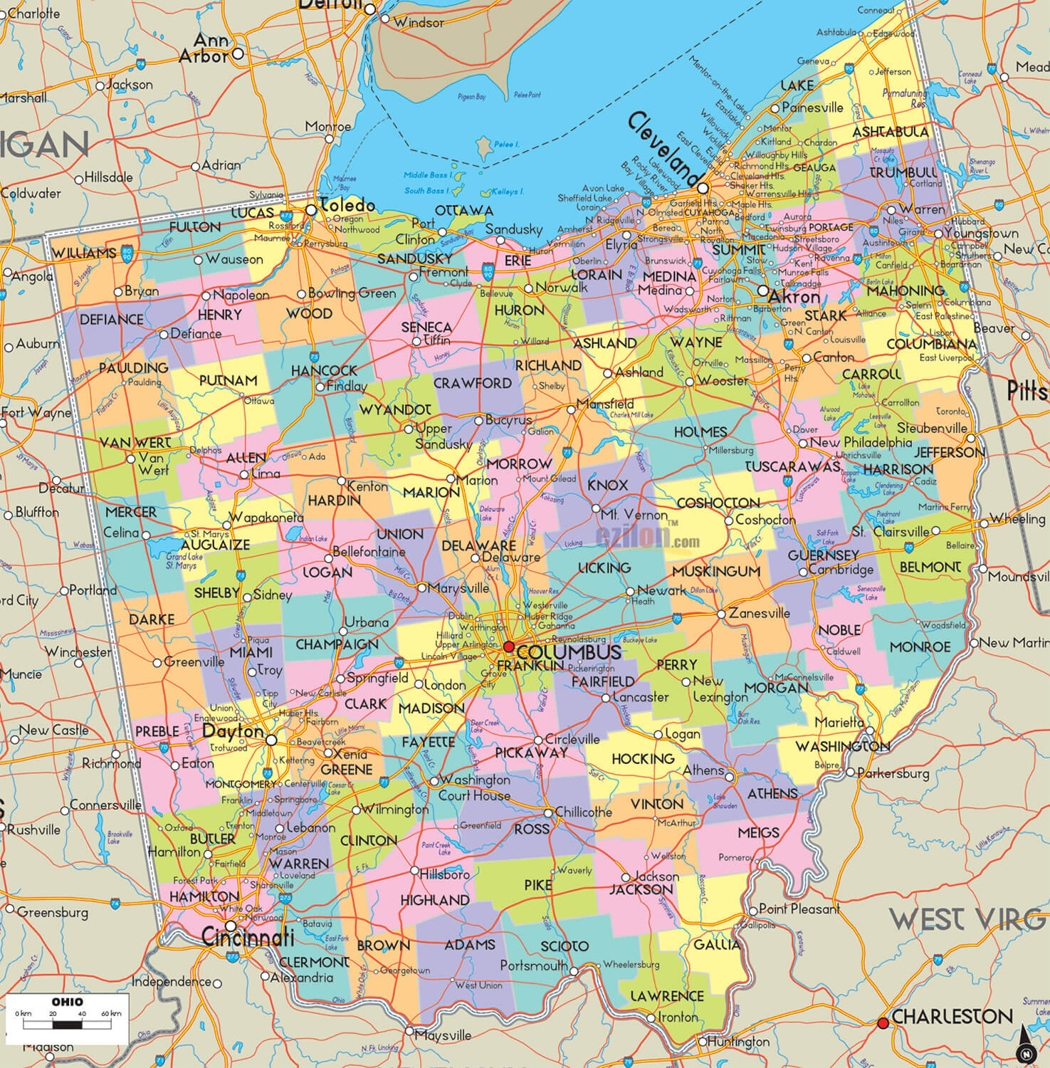
Ohio Map: Explore the Buckeye State's Cities, Counties, and Attractions
Discover the diverse geography of Ohio through our interactive map. Navigate through the state's cities, counties, and notable attractions with ease. Our detailed Ohio map is perfect for planning trips, studying geography, or simply exploring the Buckeye State from the comfort of your home. Explore Ohio's major cities like Columbus, Cleveland, and Cincinnati, or discover hidden gems like Hocking Hills State Park or the Rock and Roll Hall of Fame. Start exploring now!
Ohio Map FQA
How many cities are in Ohio ?
Ohio has 88 counties. The largest by population are: Franklin County; Cuyahoga County; Hamilton County; Summit County; Montgomery County; Lucas County; Stark County; Butler County; Lorain County; Mahoning County.What are the major geographical features of Ohio ?
Ohio has flat plains in the northwest, the Appalachian Plateau in the southeast, and fertile farmland. It borders Lake Erie and includes rivers such as the Ohio and Cuyahoga.MAP OF OHIO

COUNTIES MAP OF OHIO
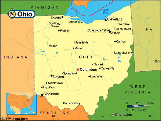
Our detailed Ohio map allows you to explore the state's cities, counties, and attractions with ease. Whether you're planning a road trip, studying geography, or simply curious about the state, our map provides a comprehensive overview of Ohio's geography. From the bustling cities of Columbus, Cleveland, and Cincinnati to the natural beauty of Hocking Hills State Park and Cuyahoga Valley National Park, Ohio has something to offer everyone. So start exploring and discover all that the Buckeye State has to offer!
For all Ohio Cities Map
Brief information about utah, US
Brief information about Ohio, US
Ohio is a state located in the Midwestern region of the United States. It is bordered by Michigan to the north, Pennsylvania to the east, West Virginia to the southeast, Kentucky to the southwest, and Indiana to the west. Ohio has a diverse economy with industries including manufacturing, healthcare, education, and agriculture.A Collection of Ohio Maps and Ohio Satellite Images
MAP OF OHIO

CITIES MAP OF OHIO
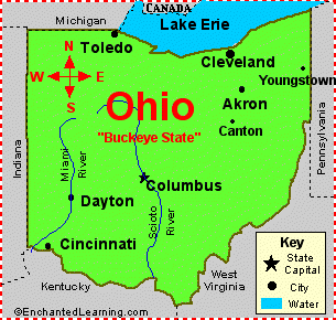
CITIES MAP OF OHIO
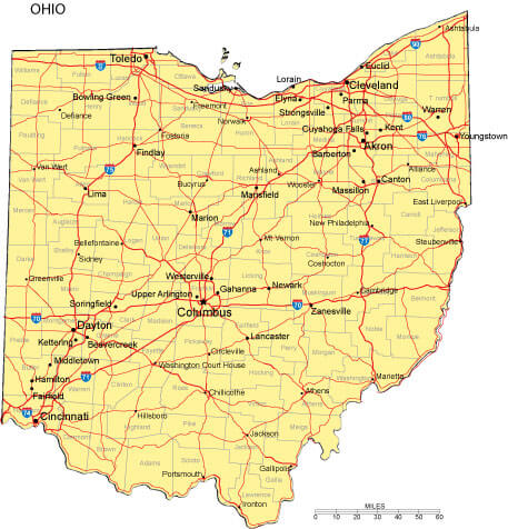
COUNTIES MAP OF OHIO

MAP OF OHIO CITIES
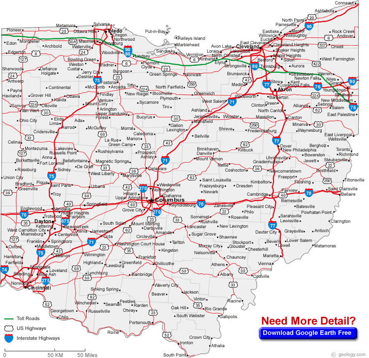
MAP OHIO
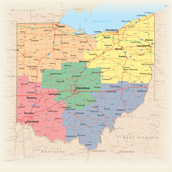
NORTH WEST OHIO MAP
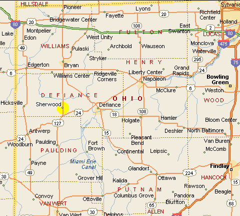
OHIO COUNTY MAP

OHIO MAP
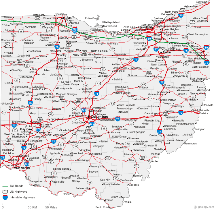
OHIO MAP
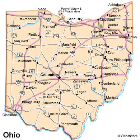
OHIO ROAD MAP

OHIO STATE MAP

OHIO CITIES MAP
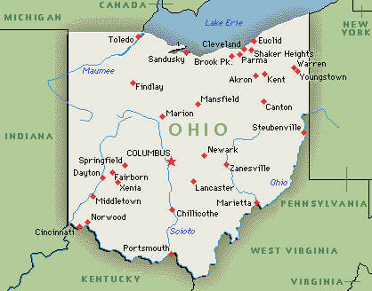
OHIO COUNTIES MAP
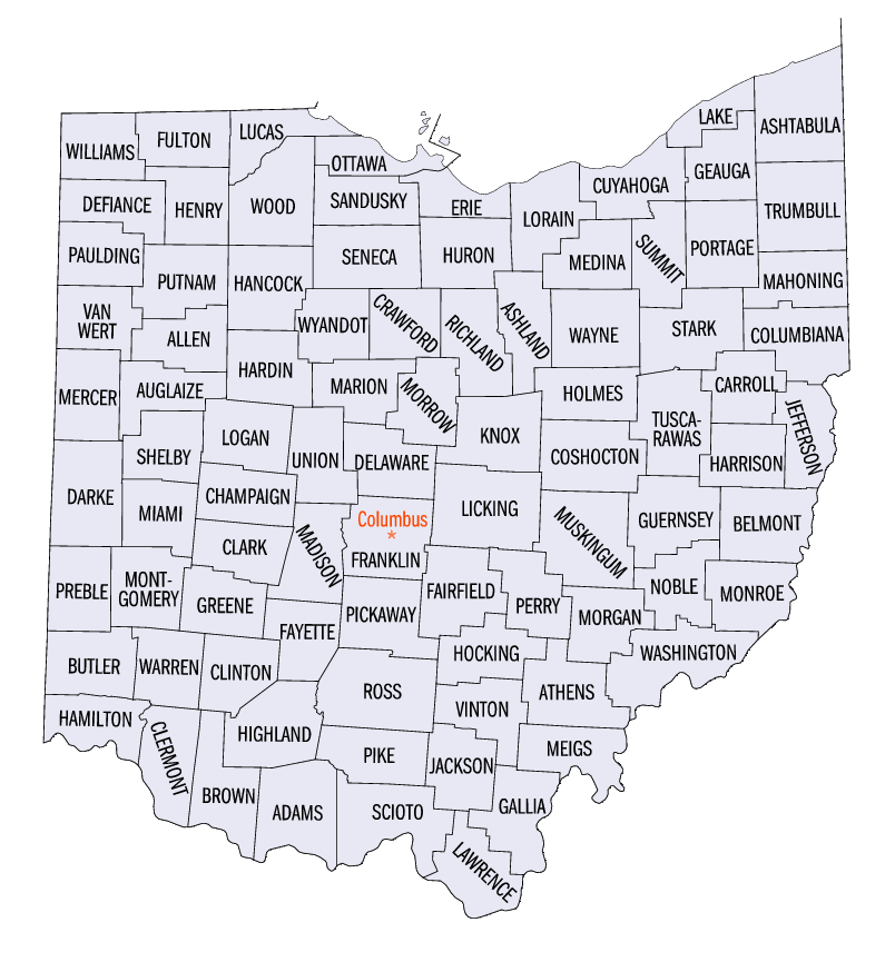
OHIO MAP
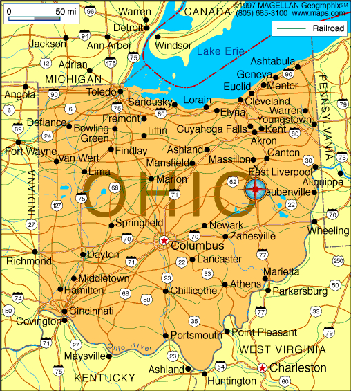
OHIO PHYSICAL MAP
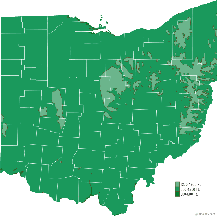
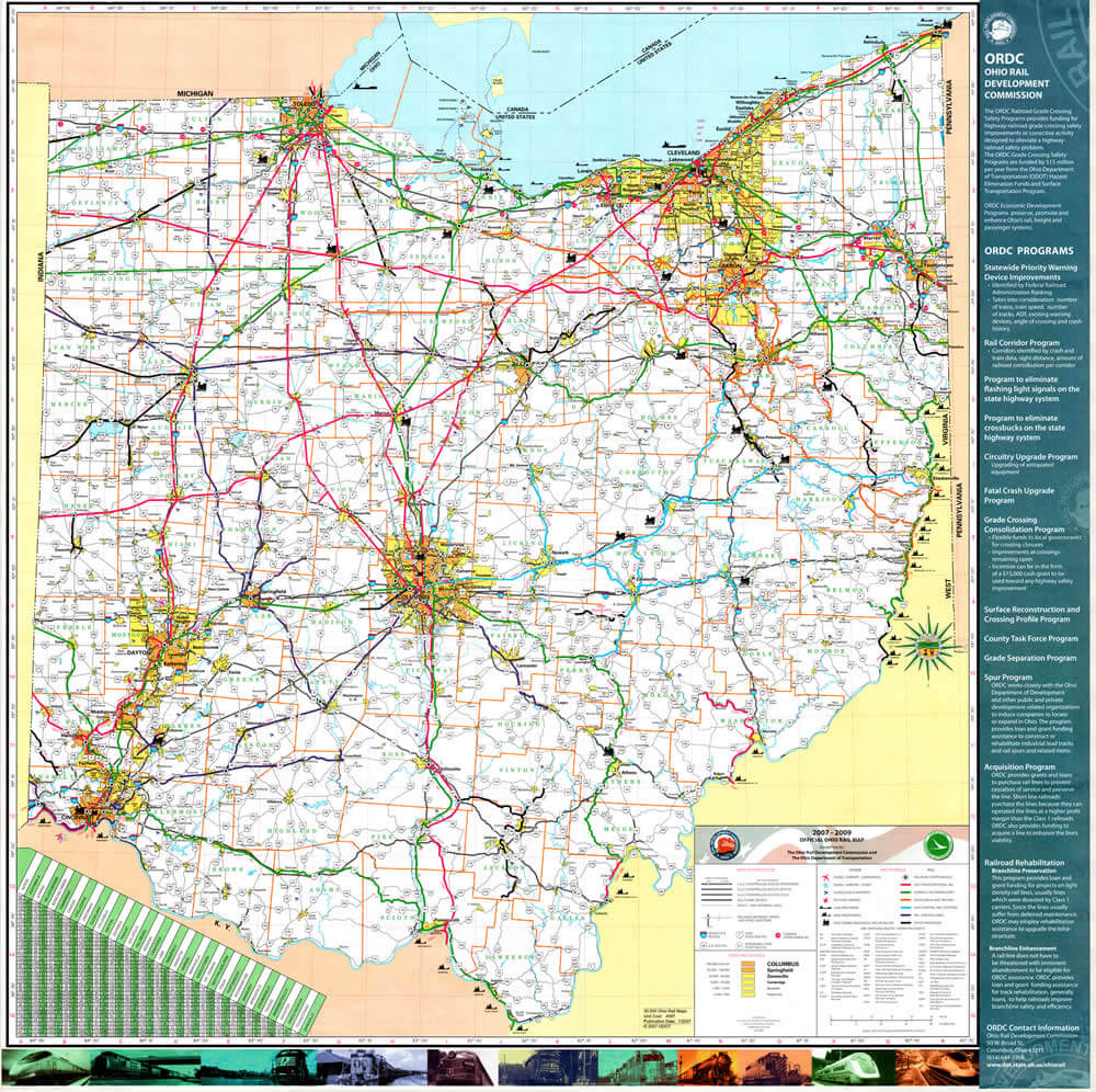
OHIO RAIL MAP
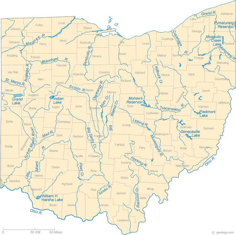
OHIO RIVERS MAP
OHIO ROAD MAP
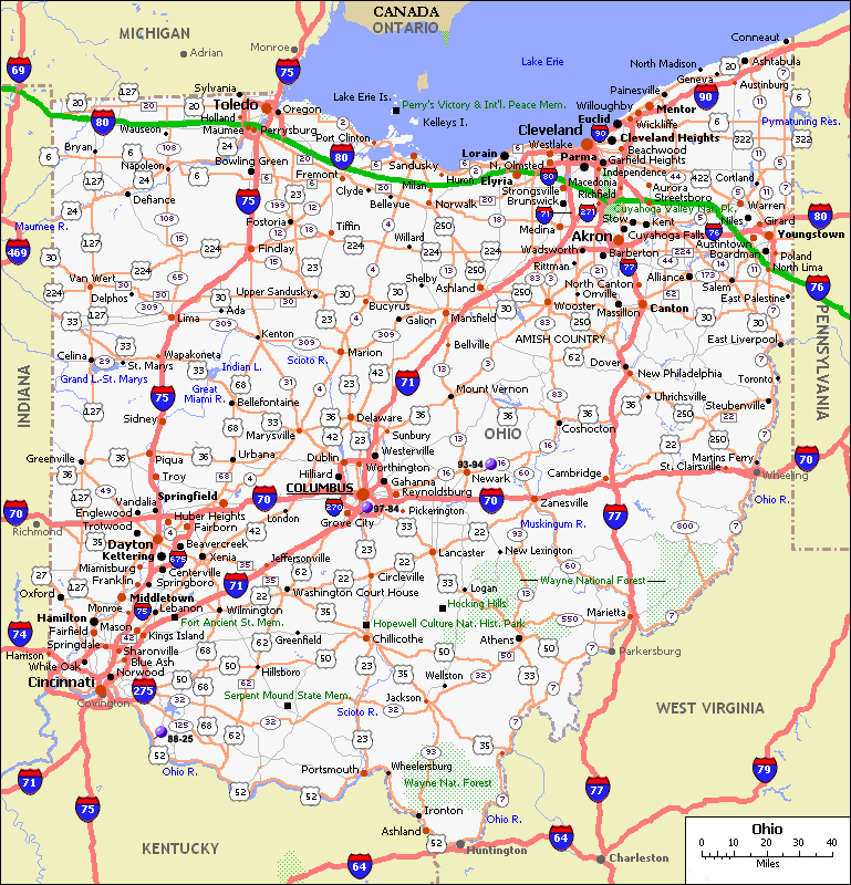
OHIO STATE MAP
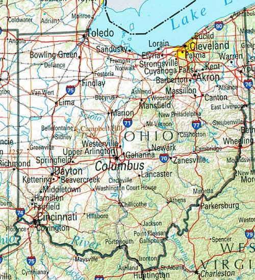
ROAD MAP OF OHIO
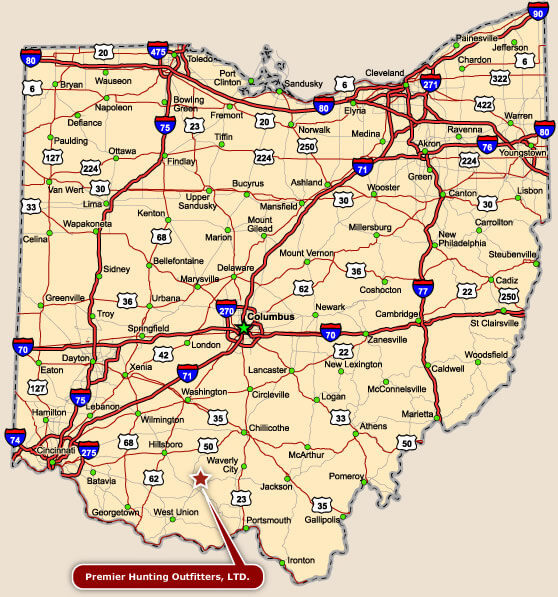
A collection of Ohio Maps
- Head of Performance Marketing
- Head of SEO
- Linkedin Profile: linkedin.com/in/arifcagrici


