Map of Palestine, Palestine
Navigate Palestine map, Palestine country map, satellite images of Palestine, Palestine largest cities, towns maps, political map of Palestine, driving directions, physical, atlas and traffic maps in Palestine.
MAP OF PALESTINE

Palestine City Maps
Jenin Tulkarm Nablus Ramallah Jericho Kudus Bethlehem HebronA Collection of Palestine Maps and Palestine Satellite Images
MAP OF PALESTINE

HISTORICAL BOUNDARIES MAP OF PALESTINE
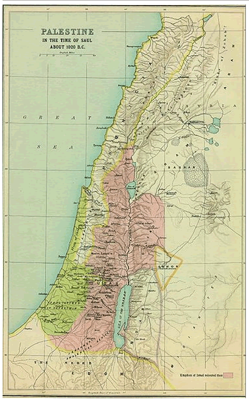
PALESTINE MAP 1020 BC
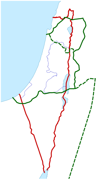
PALESTINE TERRITORIES MAP 1916 2014

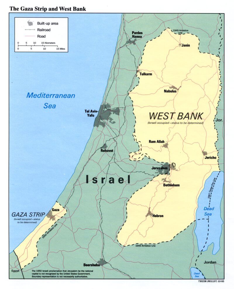
GAZA WEST BANK MAP PALESTINE
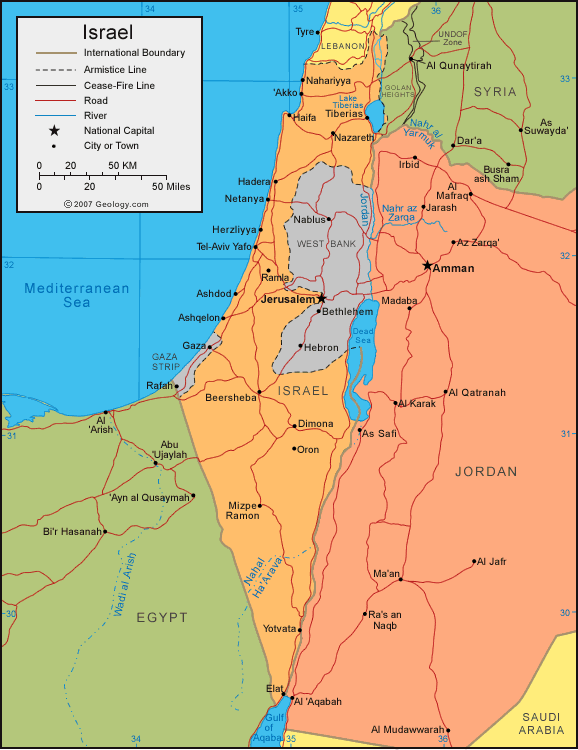
ISRAEL PALESTINE MAP

ISRAEL PALESTINE SATELLITE MAP

ISRAEL POLITICAL MAP
JEWISH OWNED LAND PALESTINE MAP 1947

MAP OF PALESTINE MIDDLE EAST

MAP OF PALESTINE WORLD

MAP OF PALESTINE

MAP OF PALESTINE

PALAESTINA MAP

PALAESTINA MAP

PALESTINE 1878 1927 MAP

PALESTINE GEOGRAPHIC REGIONS MAP

PALESTINE JEWISH COMMUNITIES MAP

PALESTINE MAP GAZA ISRAEL

PALESTINE MAP HISTORICAL MAP

PALESTINE MAP

PALESTINE MAP

PALESTINE MAP

PALESTINE MAP JESUS TIME

PALESTINE MAPS
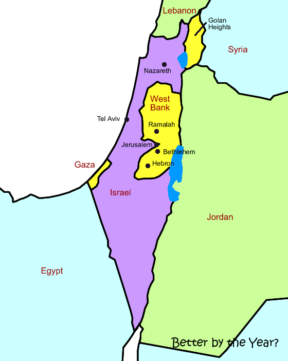
PALESTINE NEW TESTAMENT MAP

PALESTINE PARTITION MAP 1947

POLITICAL MAP OF PALESTINE
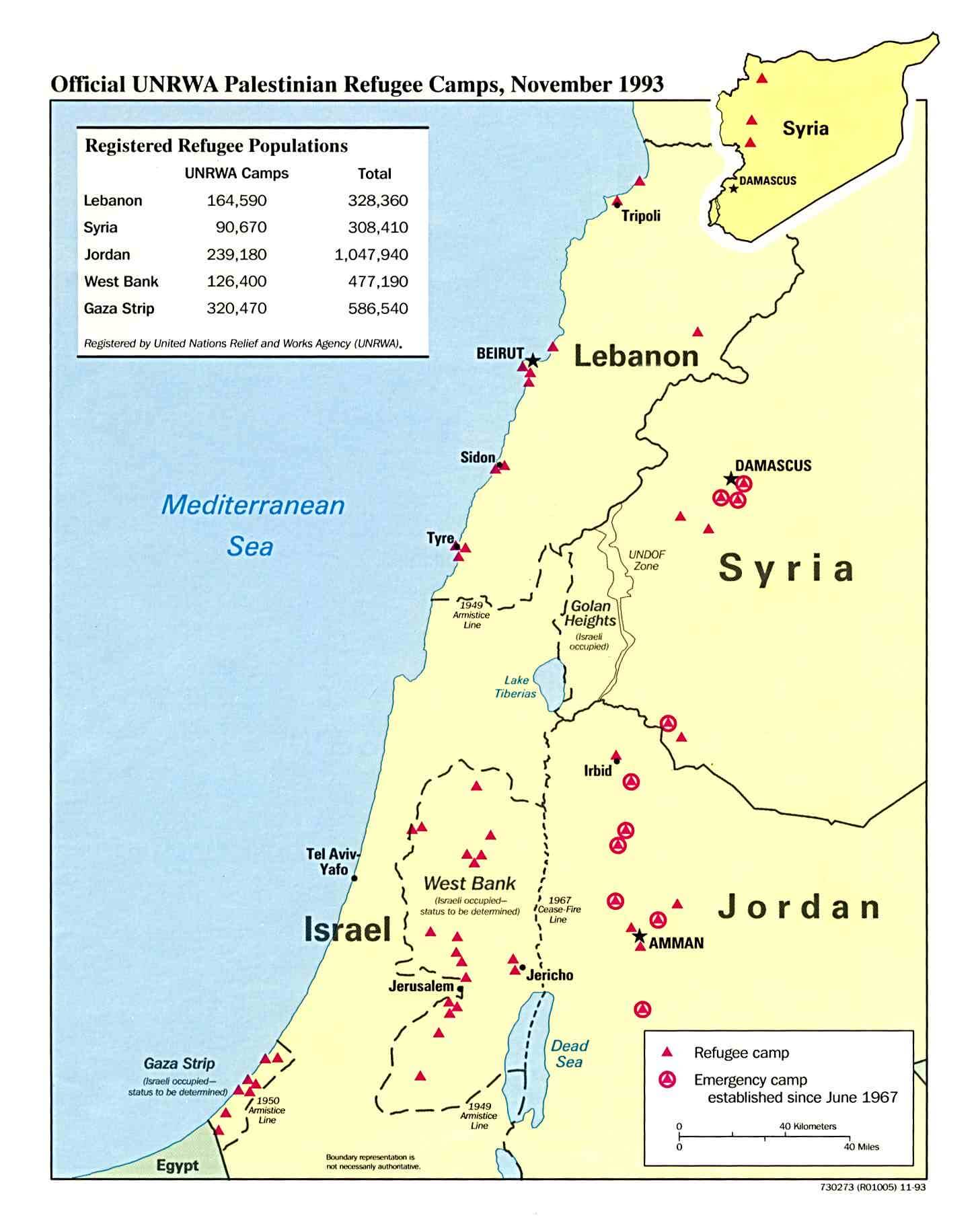
PALESTINE EARTH MAP

- Head of Performance Marketing
- Head of SEO
- Linkedin Profile: linkedin.com/in/arifcagrici
See Also
Palestine Google Map, Street Views, Maps Directions, Satellite Images
WorldMap1.com offers a collection of Palestine map, google map, Palestine atlas, political, physical, satellite view, country infos, cities map and more map of Palestine.
Palestine Largest Cities Map by Population
Hebron Map Kudus Map Nablus Map Ramallah Map Tulkarm Map Jenin Map Bethlehem Map Jericho Map
Address: Hakarinne 2 Espoo, 02100 Uusimaa - Finland
Email: [email protected]
Phone: +358 44 230 0982
Worldmap1.com Blog
Email: [email protected]
Phone: +358 44 230 0982
Worldmap1.com Blog
Copyright WorldMap1.com 2004 - 2025. All rights reserved. Privacy Policy | Disclaimer

