Uncover the Beauty of Argentina: A Complete Map Collection for Every Traveler!
A country of diverse landscapes and rich cultures, Argentina has always captivated the hearts of many. As we navigate from its bustling urban centers to its serene natural areas, it's the intricate details captured on maps that guide our journey and deepen our understanding.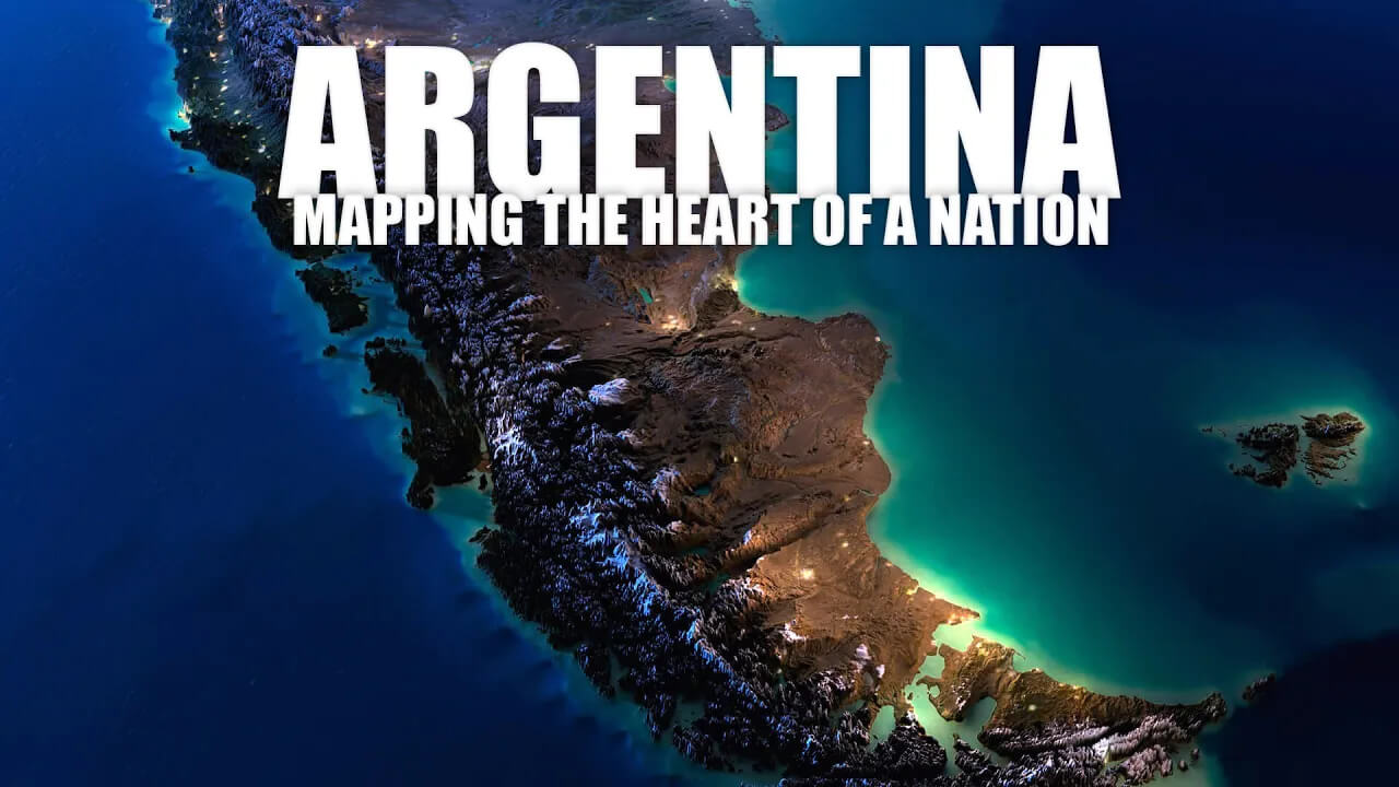
Argentina Uncharted: Mapping the Heart of a Nation
Please subscribe on "World Guide" channnel on Youtube at youtube.com/c/WorldGuide
Through these cartographic marvels, we gain a unique perspective on Argentina''s multifaceted dimensions, from its vast pampas grasslands to the towering Andes. Join us on a geographical adventure as we unravel the stories and secrets that these Argentine maps hold. Whether you're an avid traveller, a curious explorer or someone with a penchant for cartography, these maps promise to transport you right into the heart of Argentina.
1. Argentina Physical Map
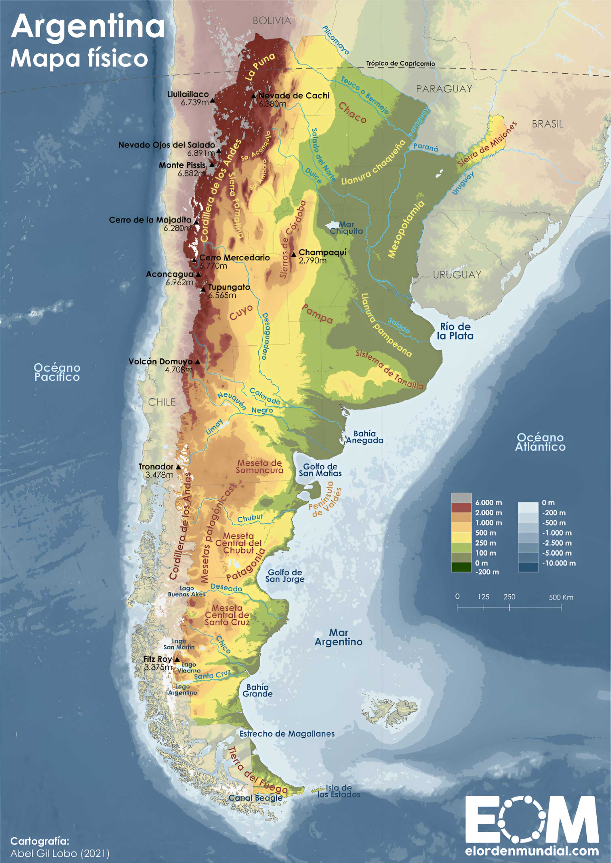
Showcases Argentina's physical landscape, such as mountains, rivers, and plains. Perfect for understanding the natural contours of the country.
2. Argentina Political Map
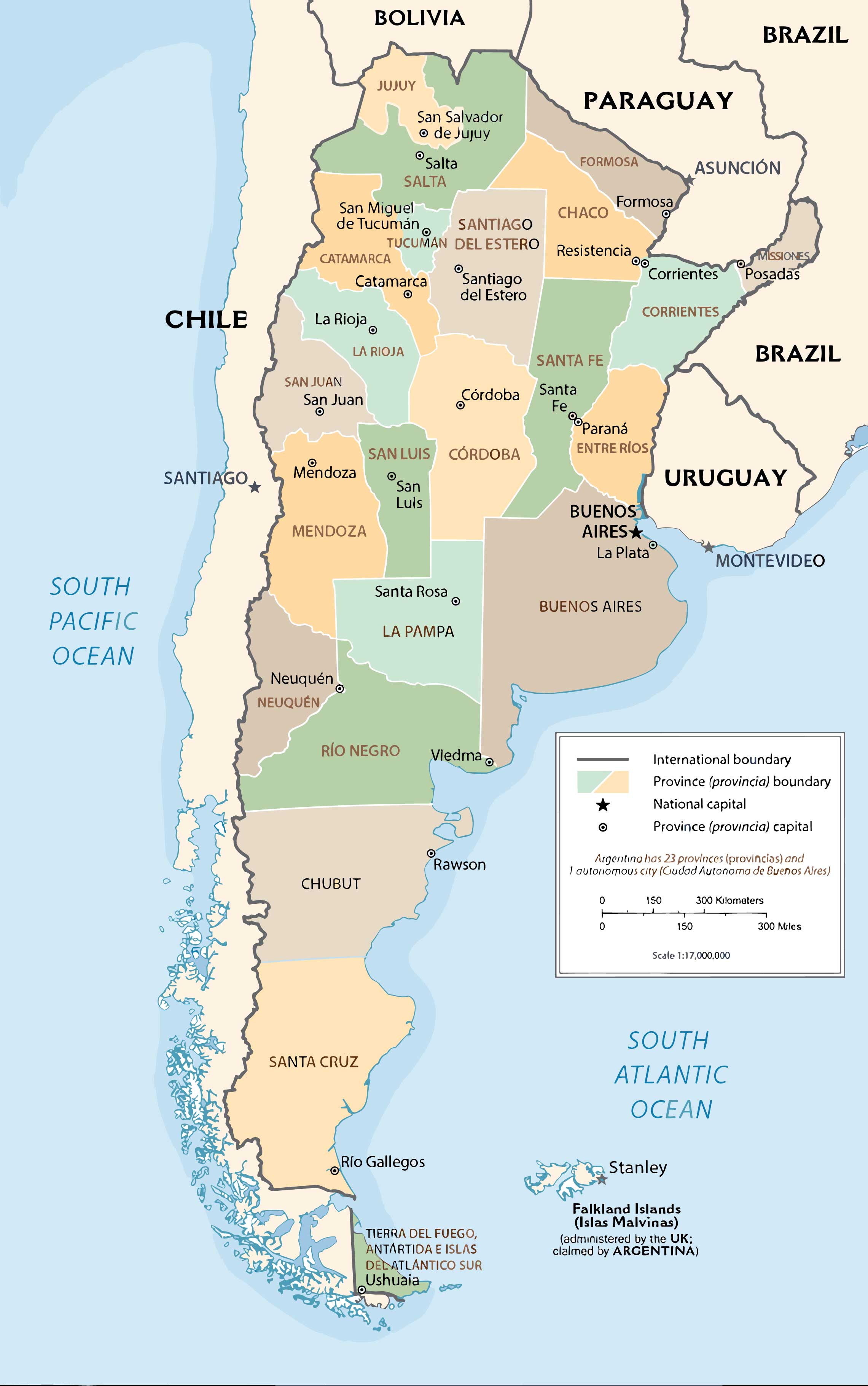
Highlights boundaries between provinces and depicts the locations of major cities. It's the go-to for a quick geopolitical overview.
3. Argentina Topographic Map
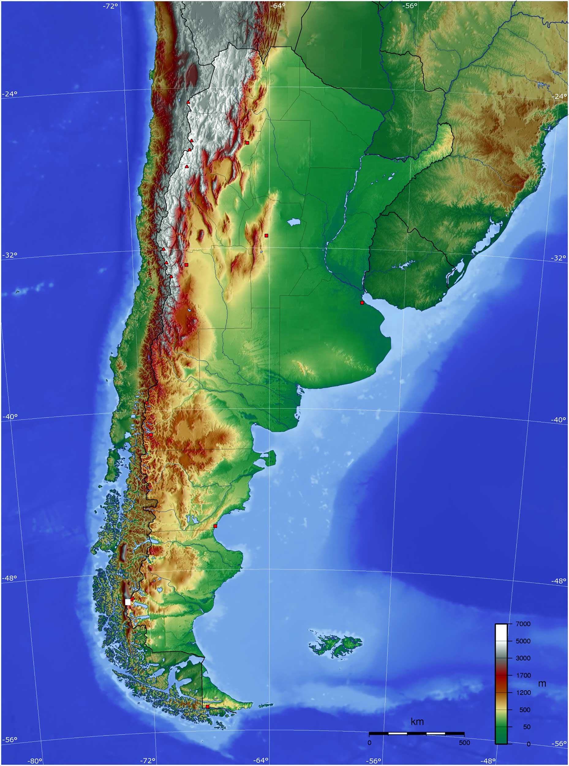
Detailed representation of Argentina's terrain, depicting elevation changes. Ideal for trekkers and outdoor enthusiasts.
4. Argentina Geological Map
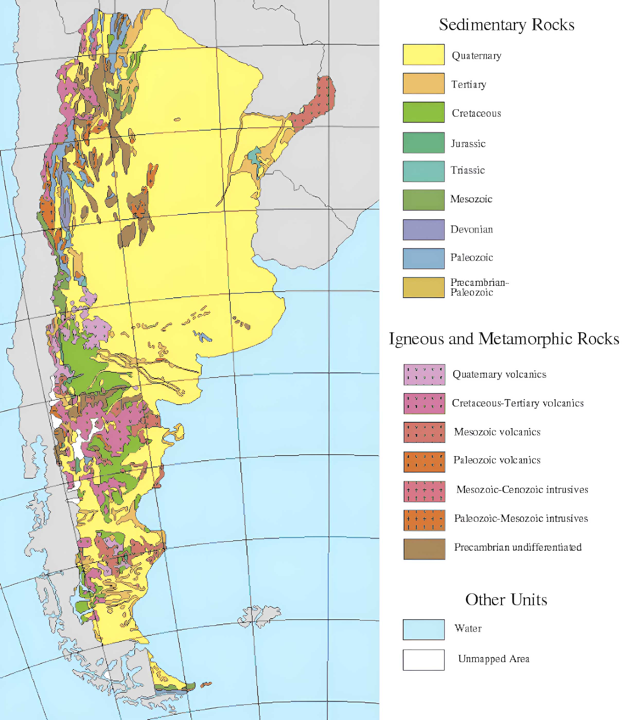
Reveals the underlying rock formations and geologic structures. A treasure for geologists and earth science buffs.
5. Argentina Cities (Urban) Map
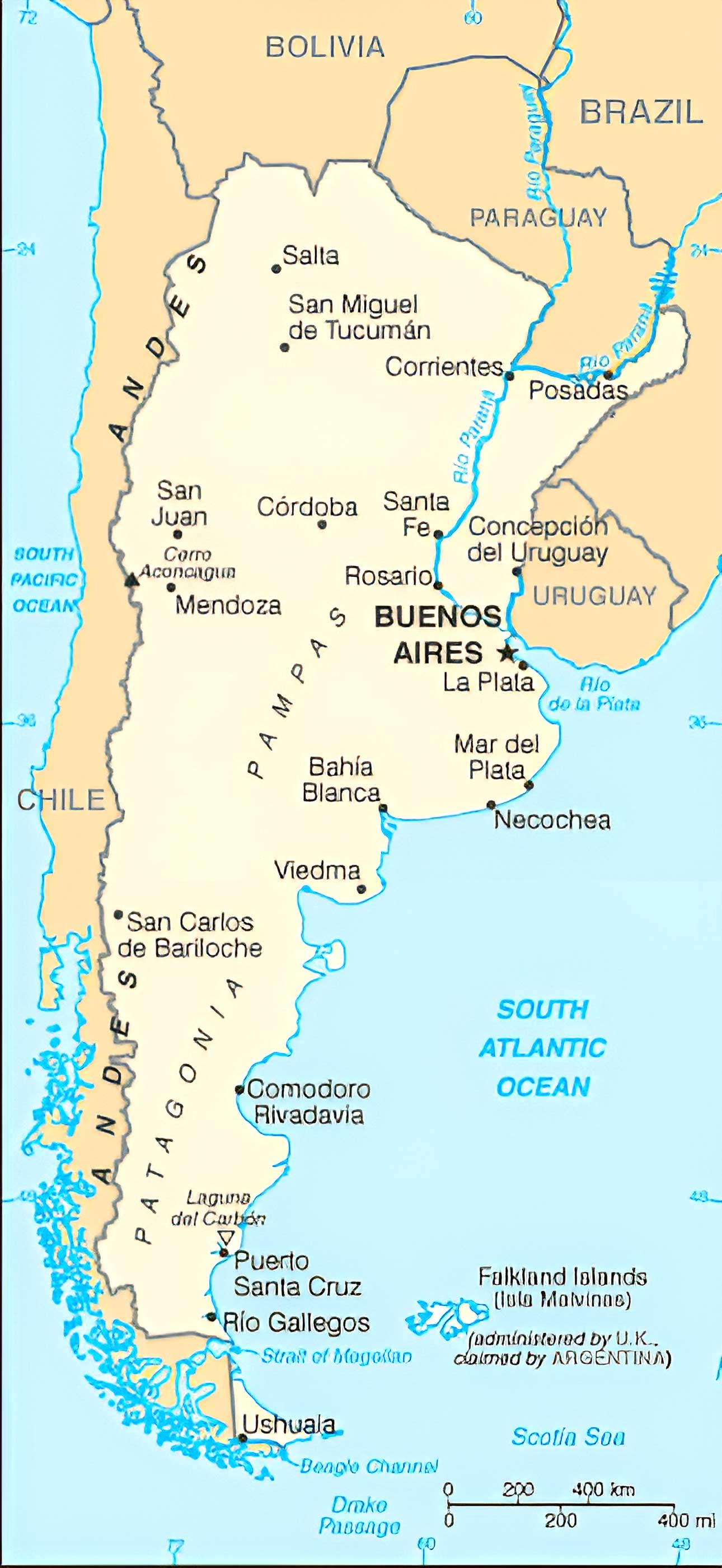
Offers detailed views of Argentina's urban centers, pinpointing roads, landmarks, and neighborhoods.
6. Argentina Regions Map
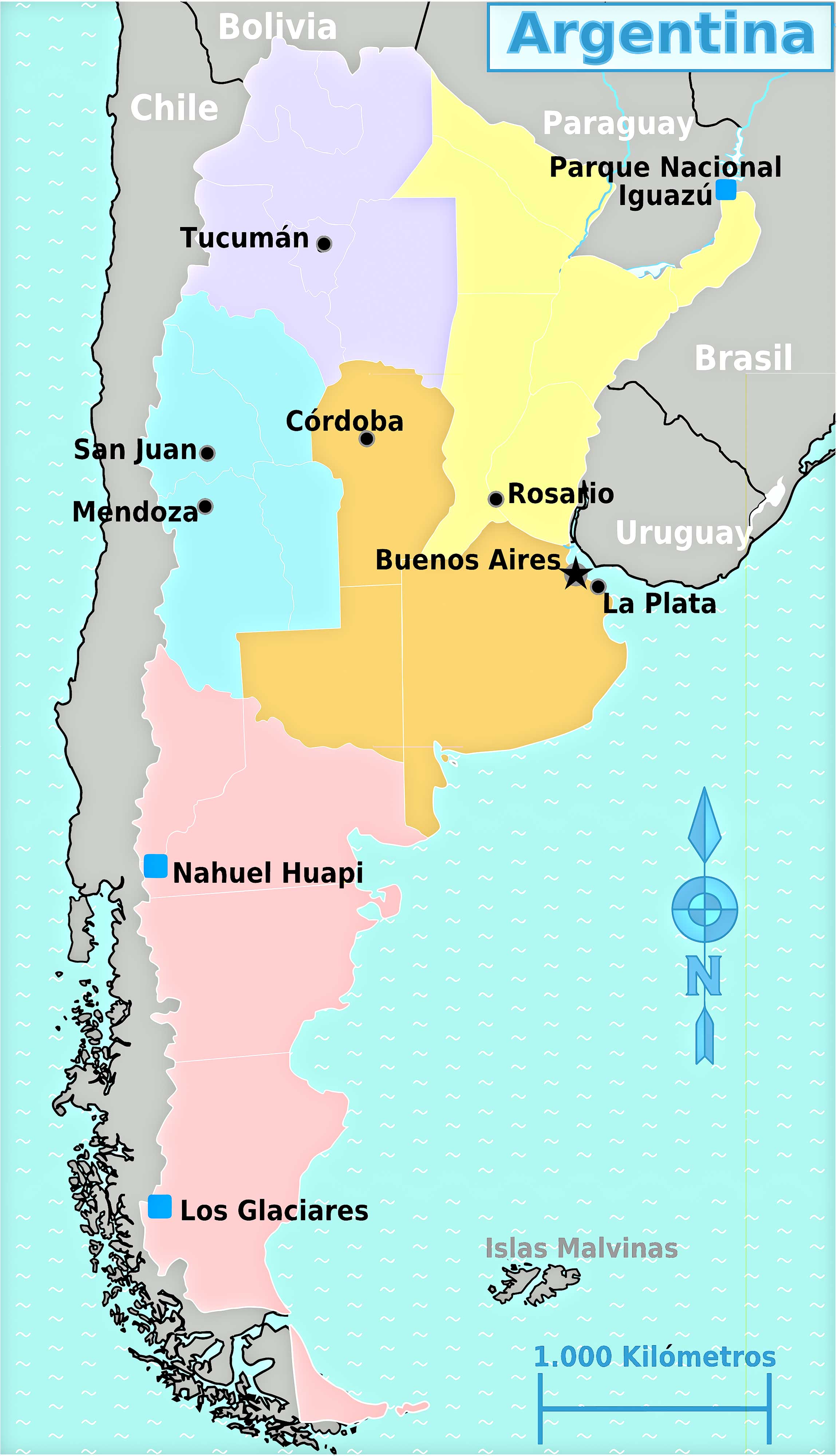
Breaks down Argentina into its distinct regions, helping readers grasp cultural and geographical divides.
7. Argentina Administrative Divisions Map
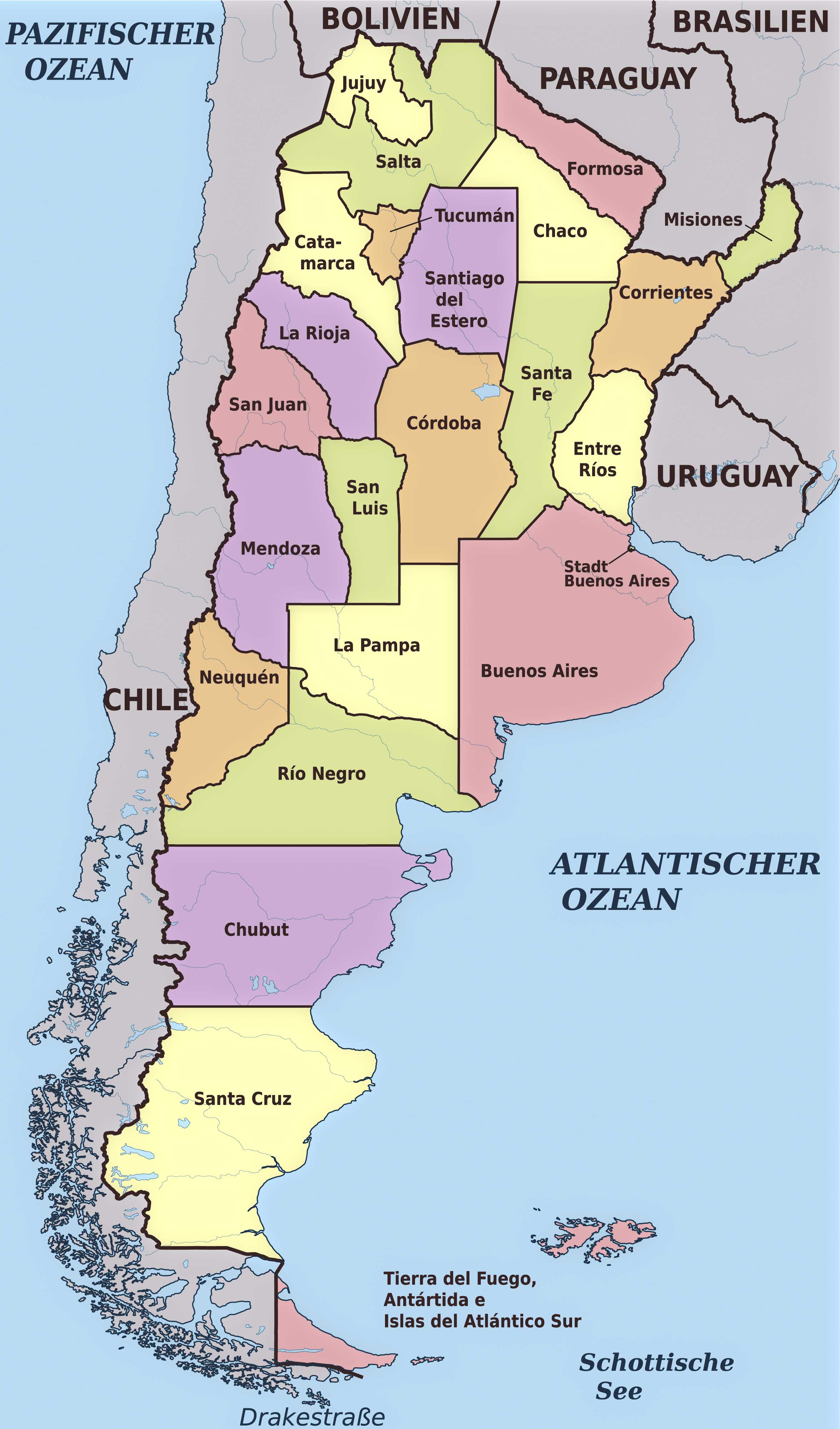
Displays the official administrative boundaries within Argentina, from provinces to municipalities.
8. Argentina Relief Map
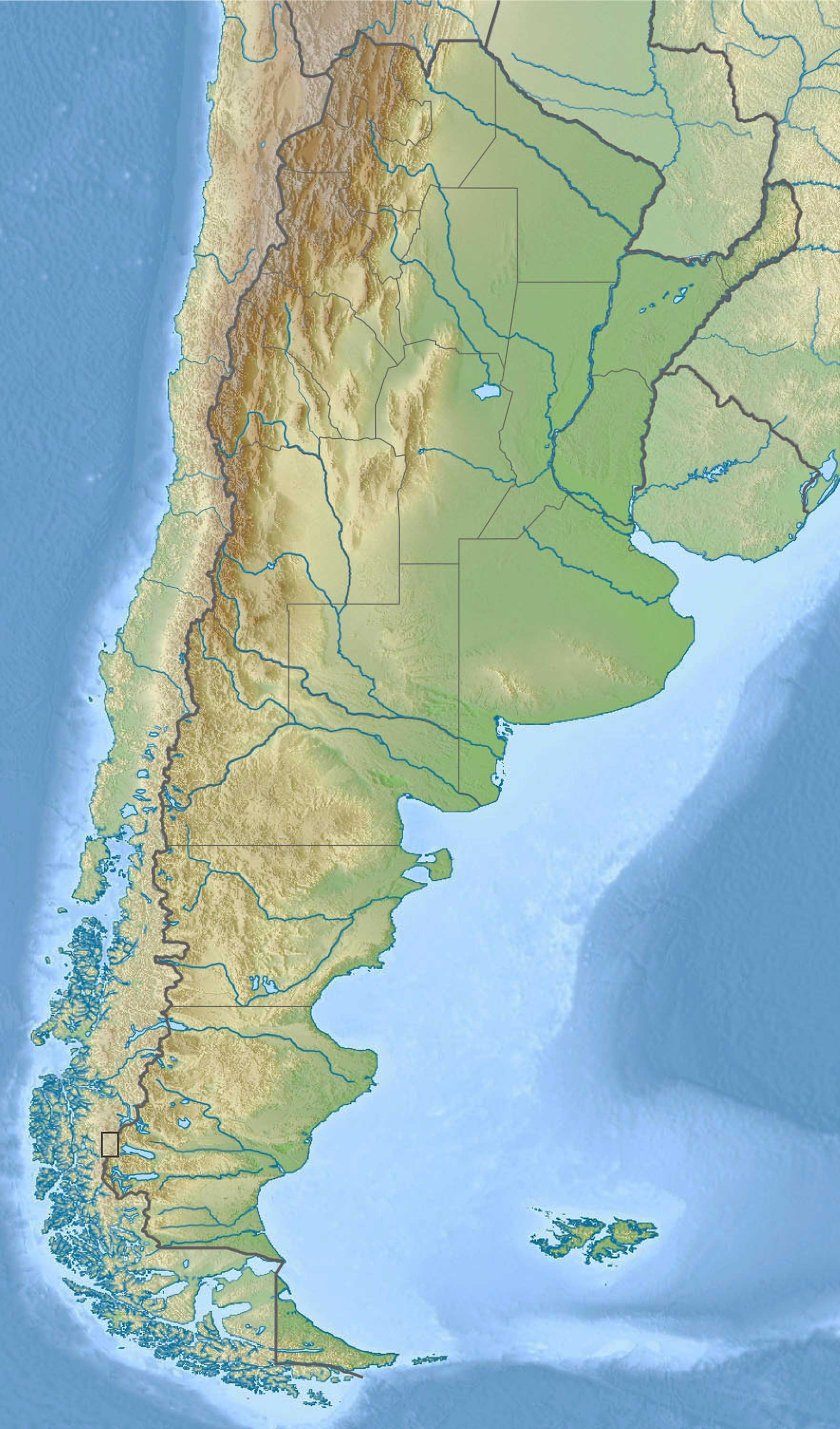
A three-dimensional representation of Argentina's topography, giving a more vivid portrayal of the terrain.
9. Argentina Transit Map
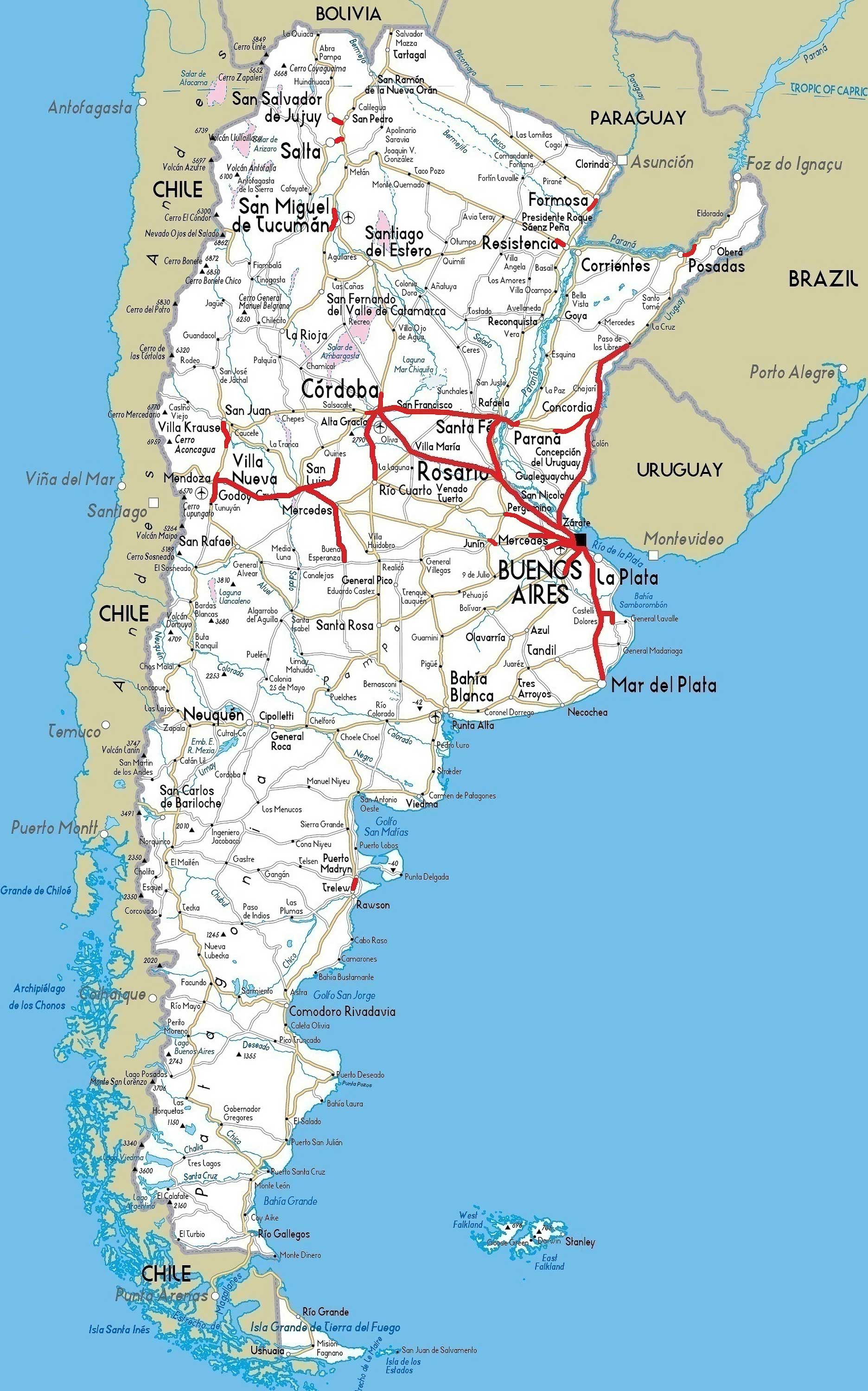
Focuses on public transportation routes, aiding commuters and visitors in navigating the urban sprawl.
10. Argentina Historical Map (Francisco Latzina - 1882)
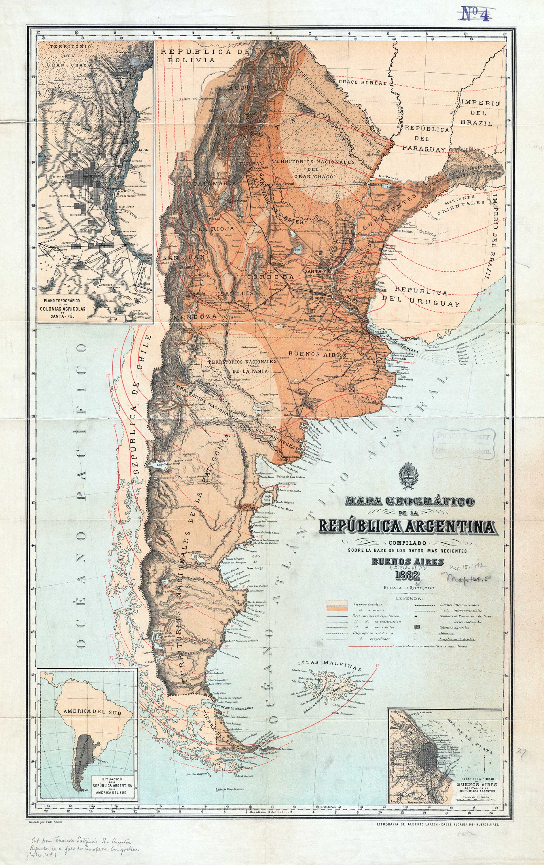
Journey through time with maps from Argentina's past, highlighting how the nation has evolved.
11. Argentina Road Map
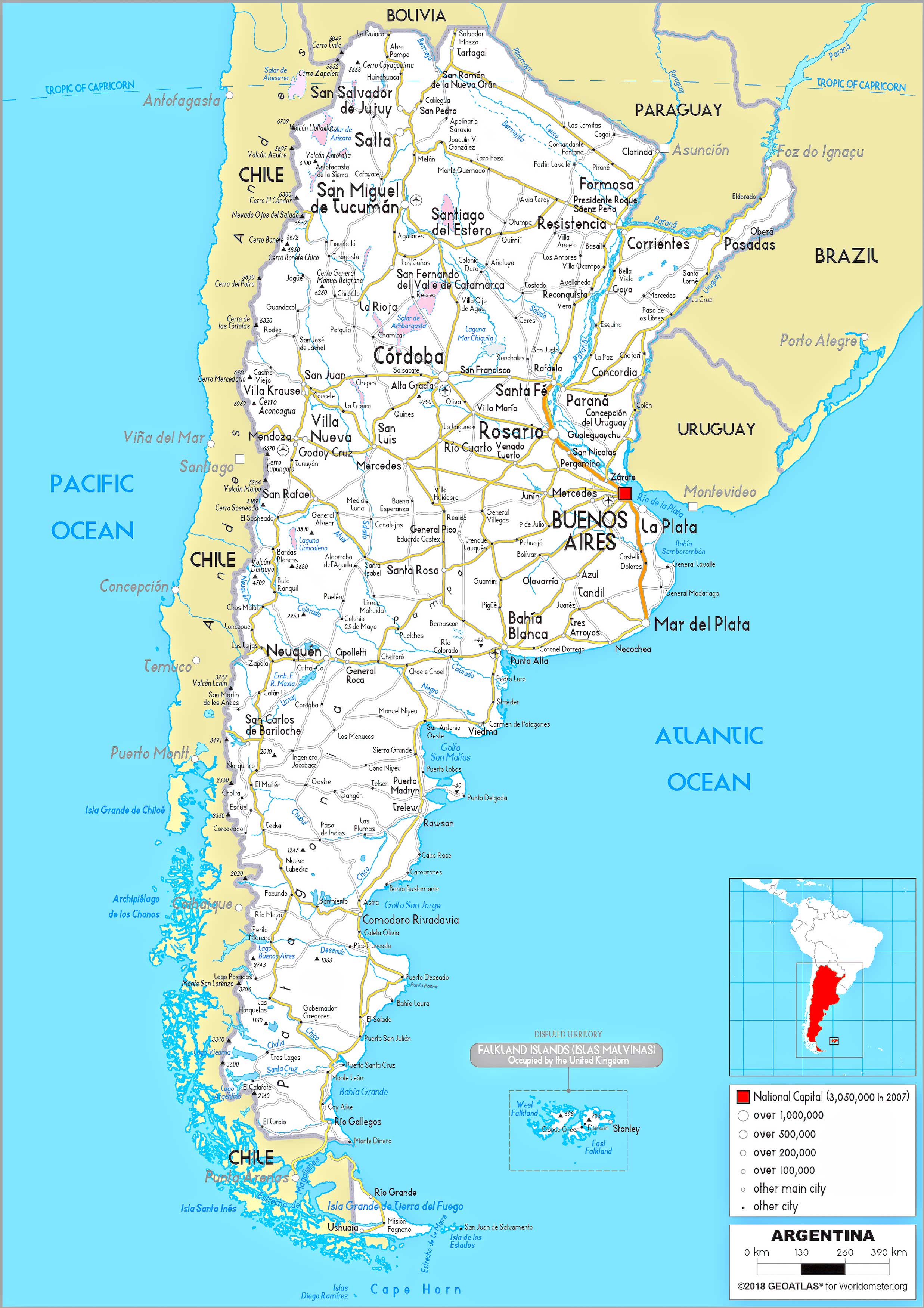
A traveler's best friend, detailing highways, secondary roads, and other significant routes.
12. Argentina Train-Railway Map
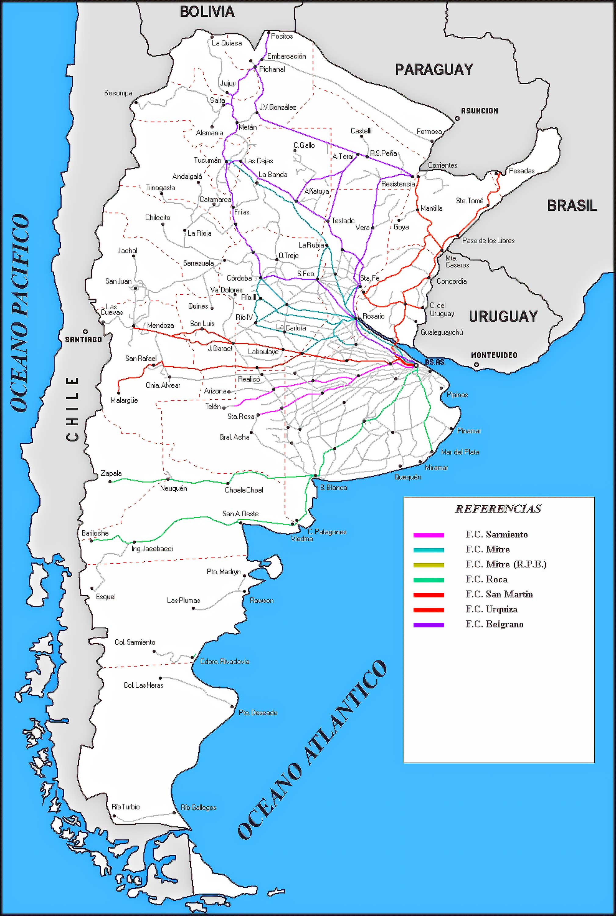
An essential guide for rail travelers, spotlighting Argentina's rail network and stations.
13. Argentina Climatic Map
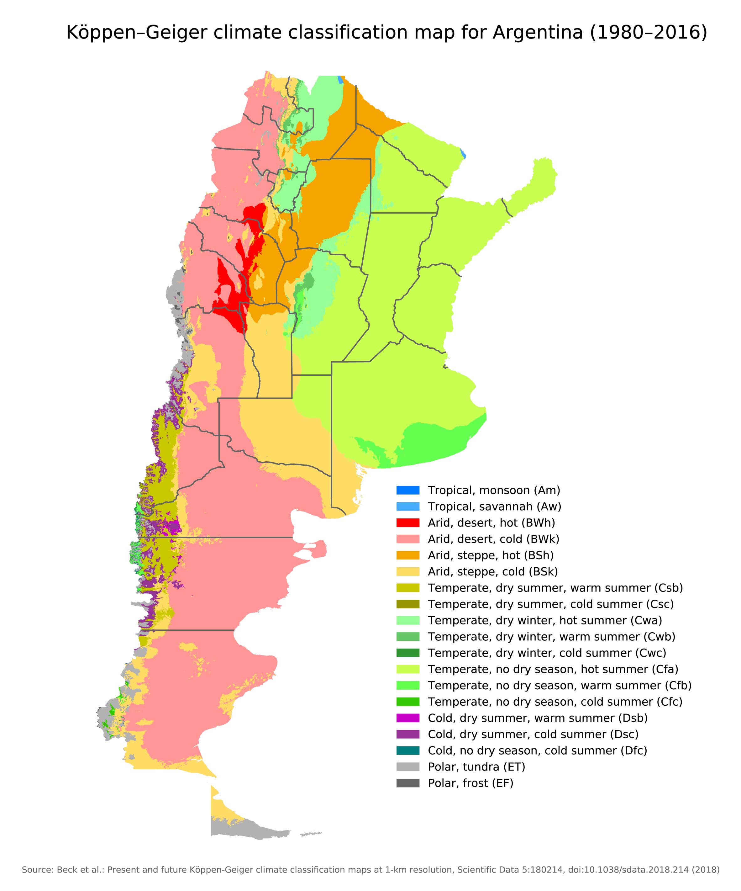
Provides insights into Argentina's diverse climate zones. Great for planning travel or understanding regional weather patterns.
14. Argentina Flag Map
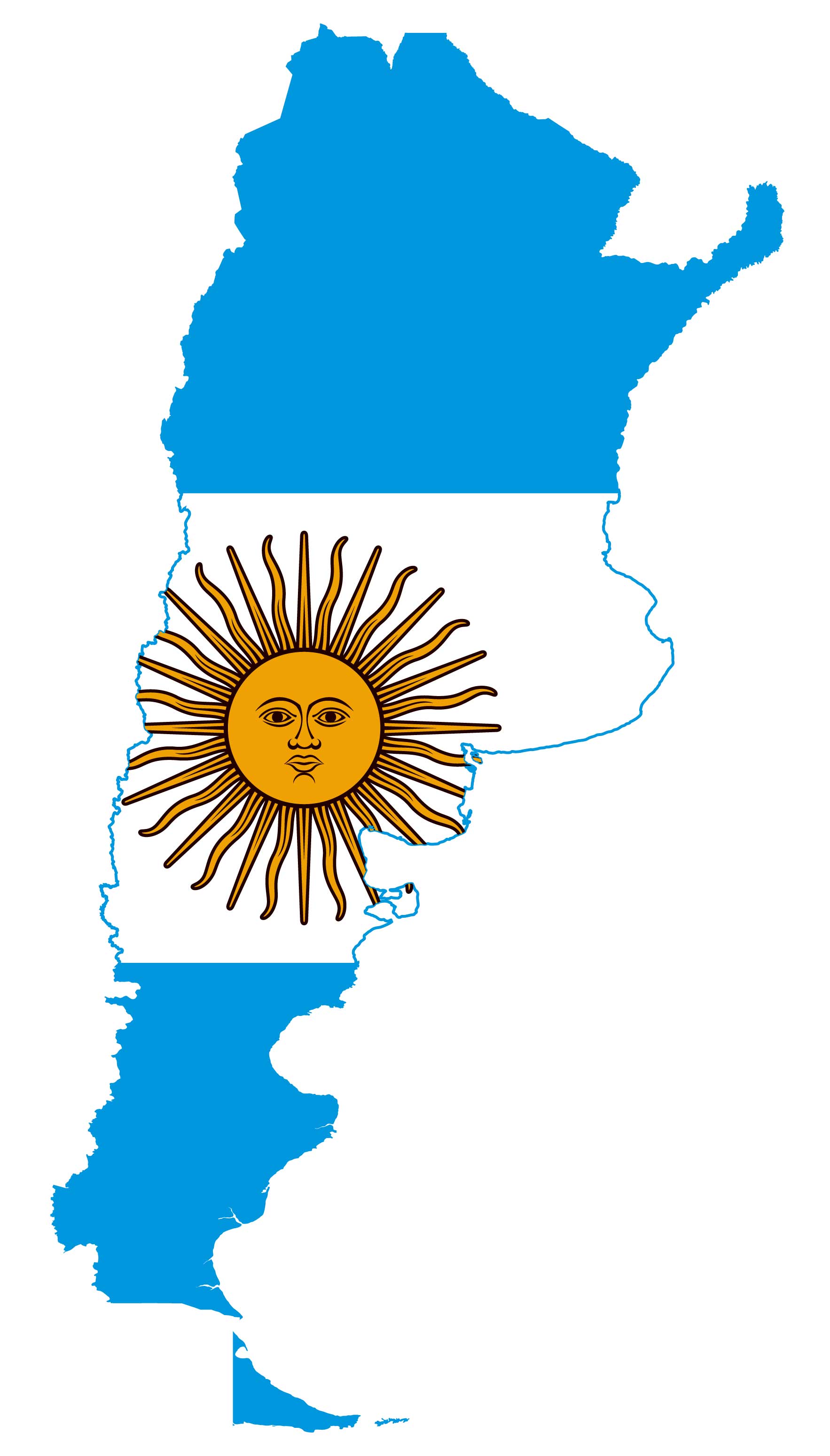
A creative blend of Argentina's national flag and its geographic borders, fostering national pride.
15. Argentina Travel-Tourist Map
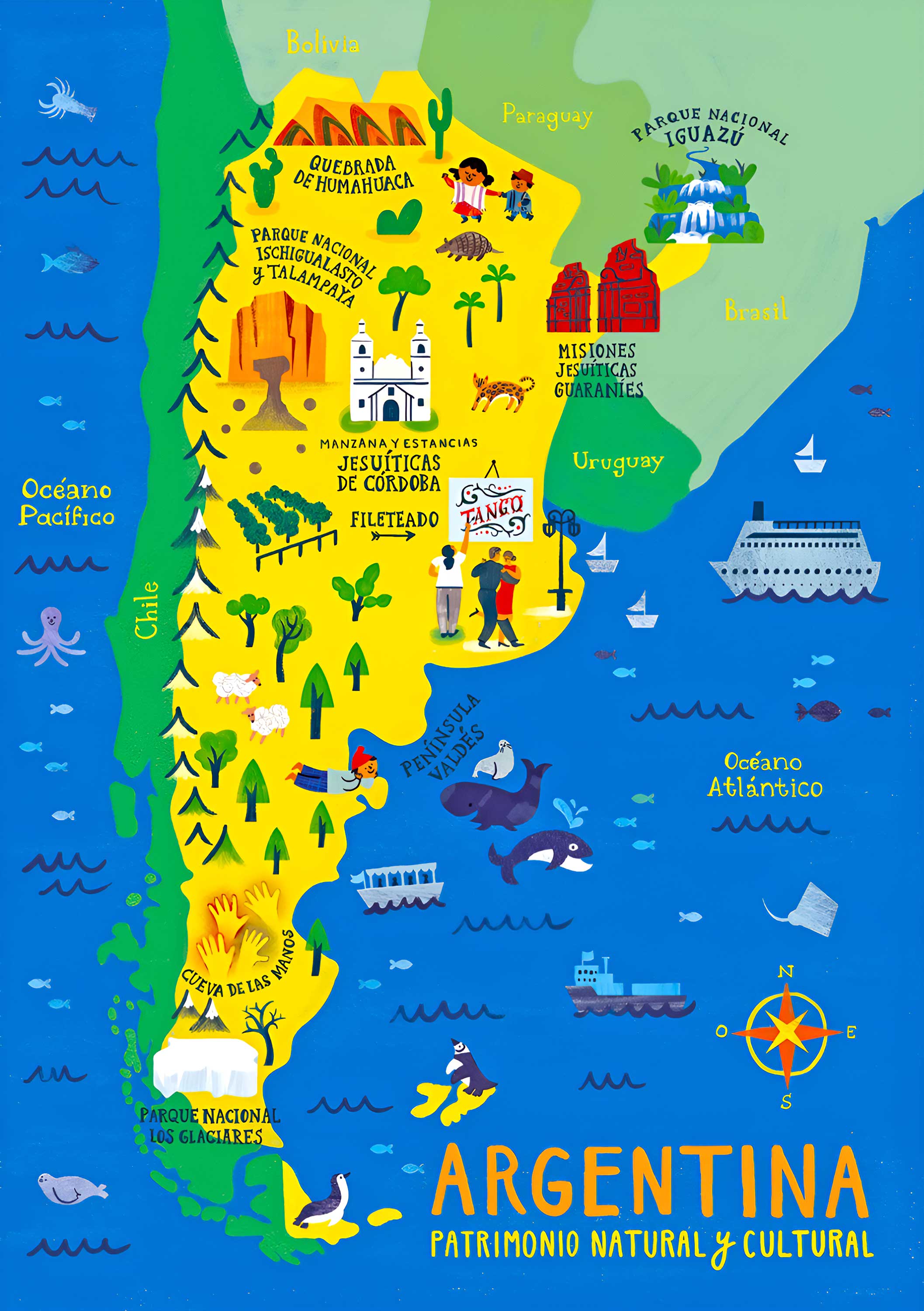
Tailored for tourists, showcasing points of interest, accommodations, and attractions.
16. Map of Argentina's Location in the World Map
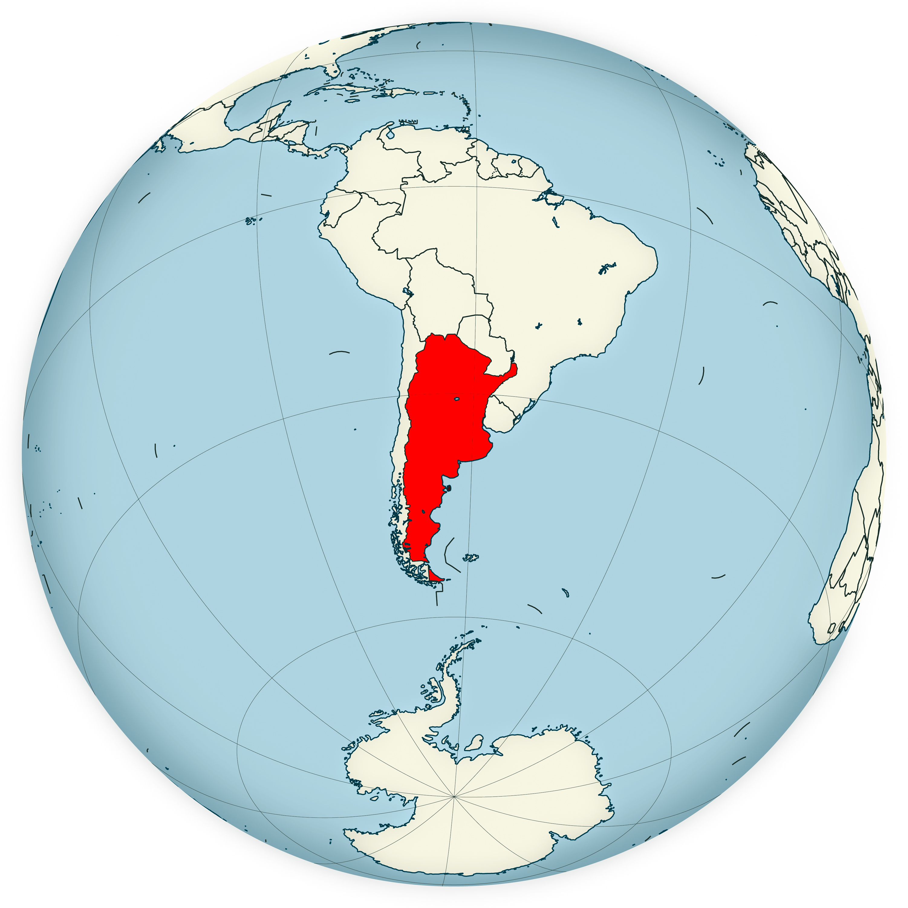
Understand Argentina's global position with a juxtaposition of its boundaries within the global context.
17. Argentina Earth Satellite Map
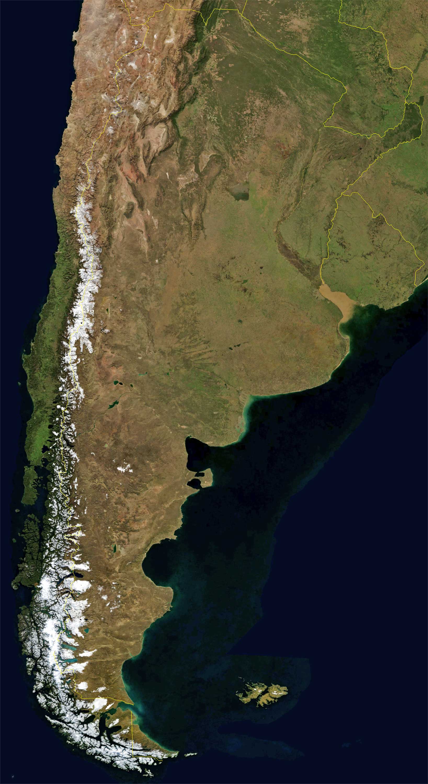
A captivating view from space, offering a unique perspective of Argentina's landforms.
As our cartographic exploration of Argentina draws to a close, it is clear that maps do more than simply depict territory; they tell stories, encapsulate histories, and depict the beating heart of a nation. The maps of Argentina have revealed not only the physical contours of the country, but also the tapestry of cultures, histories and ambitions that intertwine across this vast nation. As you move forward, may these maps serve as both a guide and an inspiration, reminding you of the beauty, complexity and wonders that Argentina has to offer. Remember, every line, shade and marker on these maps holds a story, and there's always another story waiting to be discovered in the vast expanses of Argentina. Until our next geographical journey, keep exploring and let the spirit of Argentina linger in your heart.
Feel free to explore these pages as well:
- Head of Performance Marketing
- Head of SEO
- Linkedin Profile: linkedin.com/in/arifcagrici
Email: [email protected]
Phone: +358 44 230 0982
Worldmap1.com Blog
