Explore the Beauty and Diversity of Alaska with Our Comprehensive Map!
Here you will find a comprehensive Alaska Map and detailed map of one of the most unique and breathtaking states in the United States. Alaska is known for its stunning natural beauty, rugged terrain, and diverse wildlife, and our map allows you to explore all of this and more.
For all Alaska Cities Map
MAP OF ALASKA

Alaska Unveiled: Nature's Majestic Playground
Please subscribe on "World Guide" channnel on Youtube at youtube.com/c/WorldGuide
ALASKA COUNTY MAP

Brief information about Alaska, US
Alaska is the largest state in the United States, located in the northwest corner of North America. Alaska is known for its rugged and diverse terrain, including vast glaciers, towering mountains, and thousands of miles of coastline.A Collection of Alaska Maps and Alaska Satellite Images
MAP OF ALASKA

ALASKA MAP
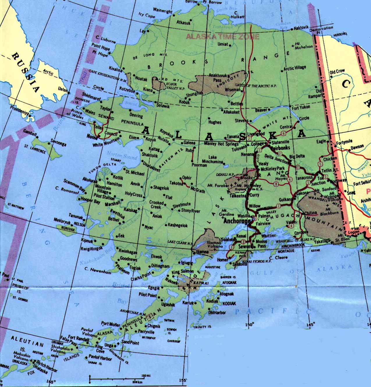
ALASKA CITY MAP
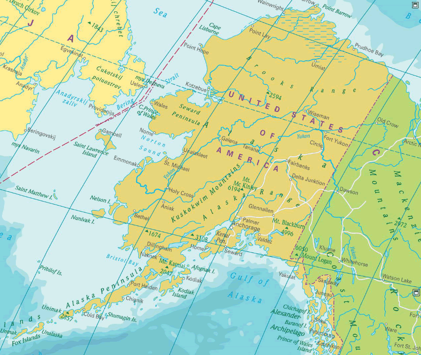
ALASKA COUNTY MAP

ALASKA COUNTY MAP

ALASKA HISTORICAL MAP 1500

ALASKA MAP
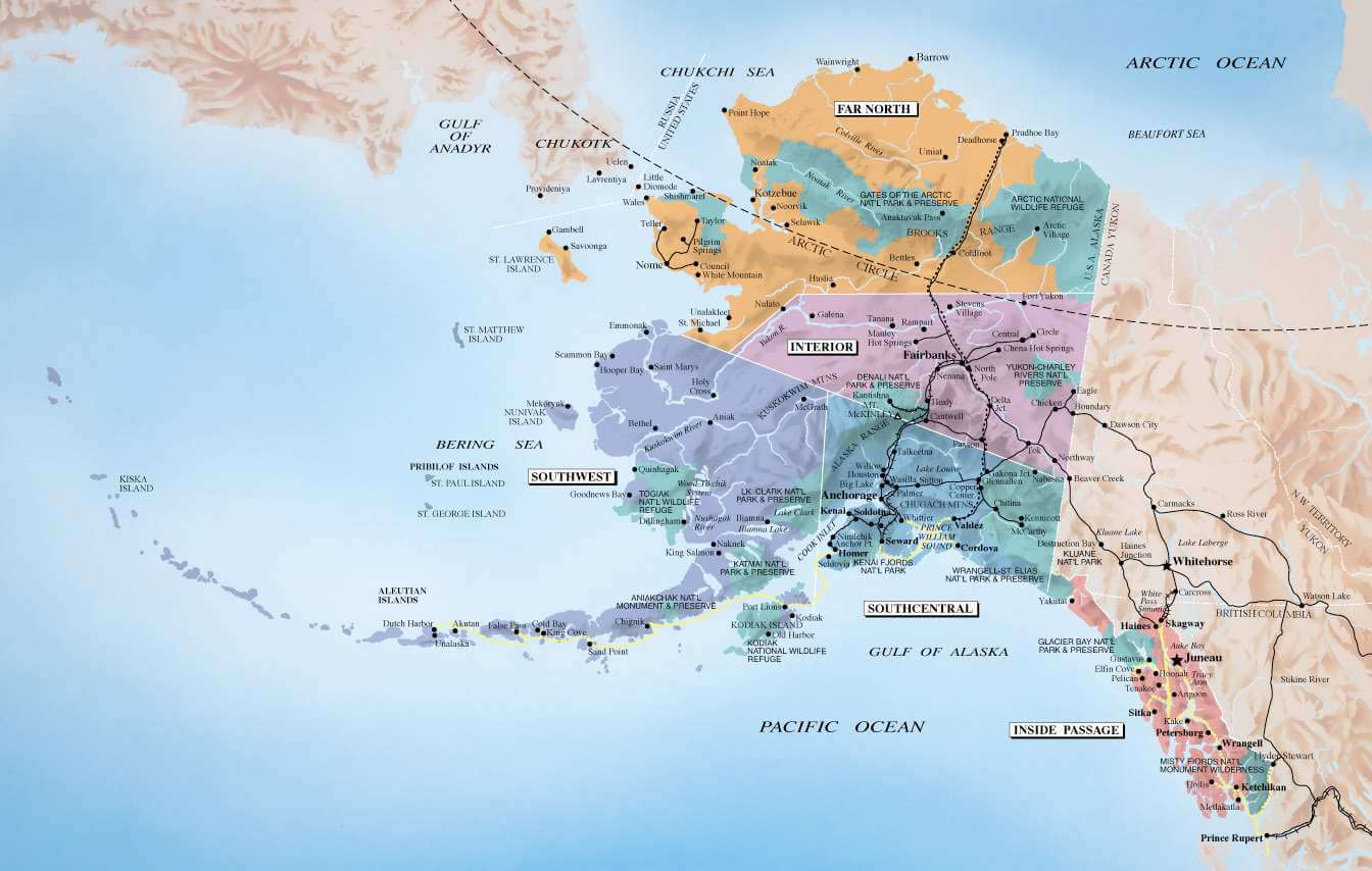
ALASKA MAP 1899
ALASKA MAP CANADA RUSSIA

ALASKA MAP OCEAN

ALASKA MAP RUSSIA

ALASKA MAP UNITED STATES

ALASKA MAP USA
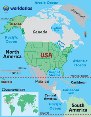
ALASKA MAPS

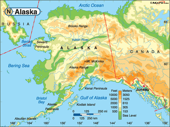
ALASKA PHYSICAL MAP

ALASKA PHYSICAL MAP

ALASKA REGIONS MAP
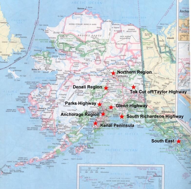
ALASKA SATELLITE IMAGES

CITIES MAP OF ALASKA

HISTORICAL MAP OF ALASKA 1899

MAP OF ALASKA

PHYSICAL MAP OF ALASKA
ROAD MAP OF ALASKA
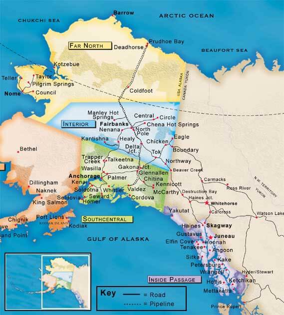
STATE OF ALASKA MAP

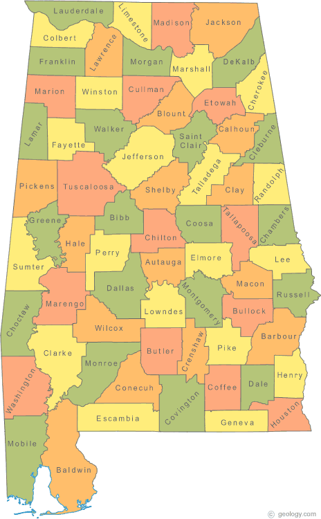
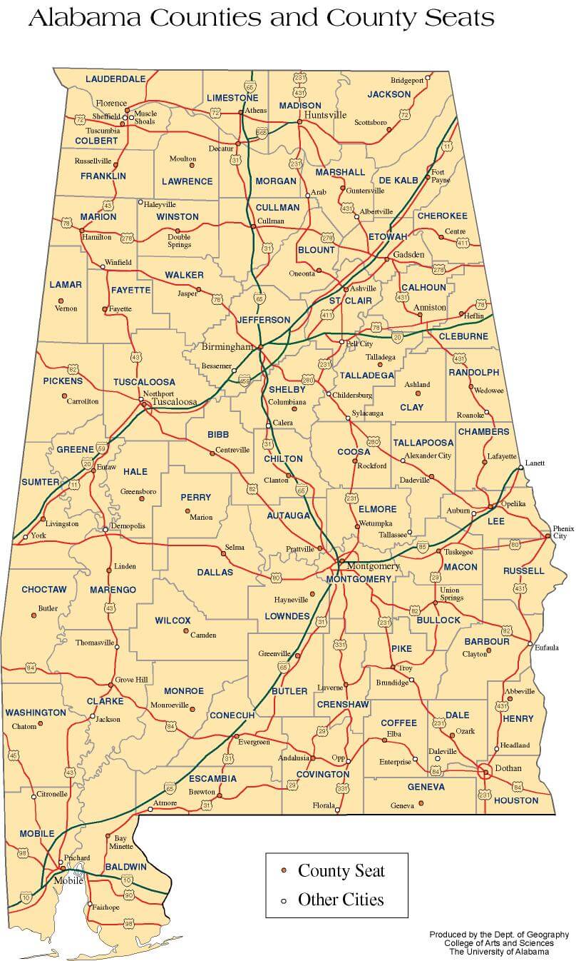
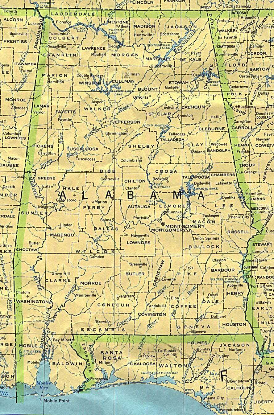
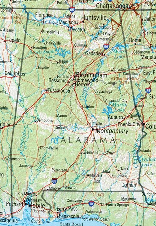
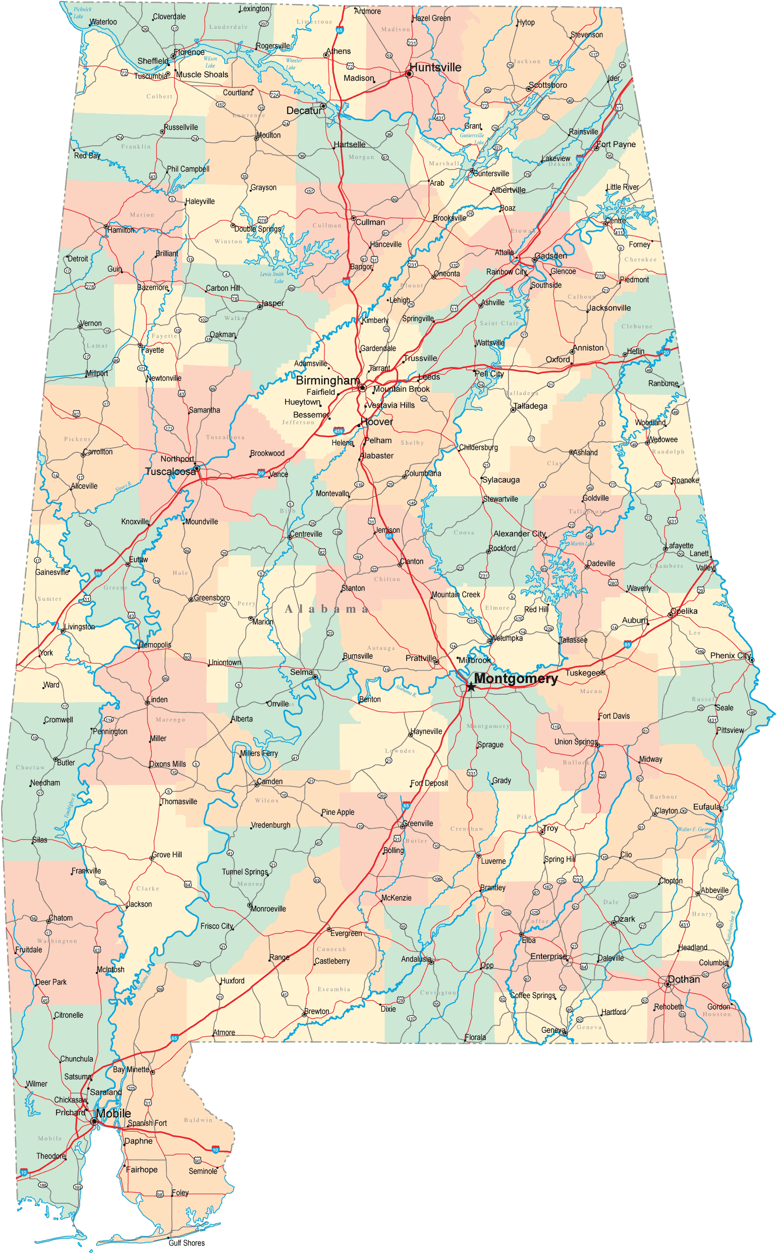
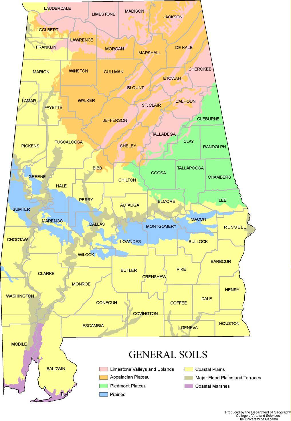
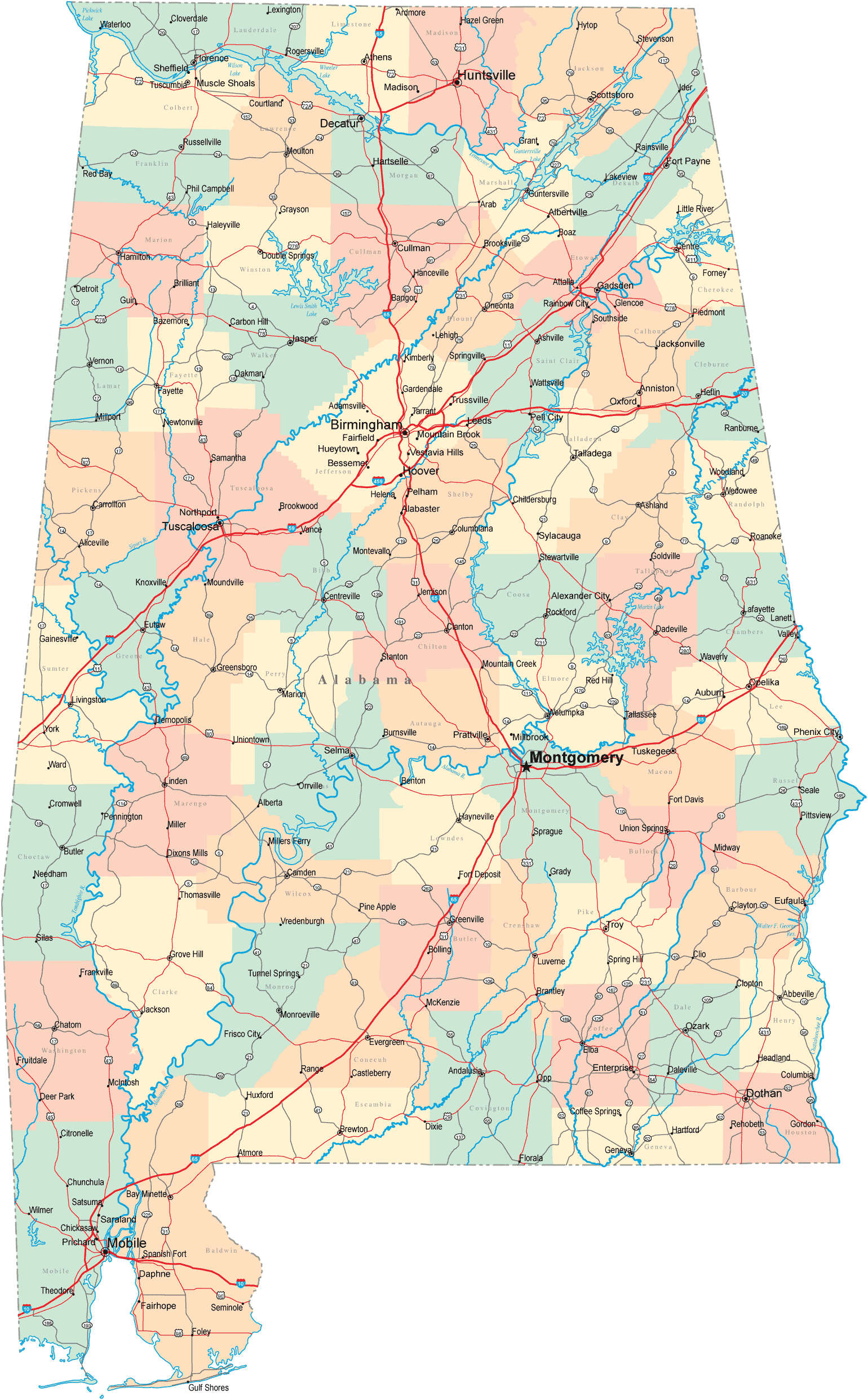
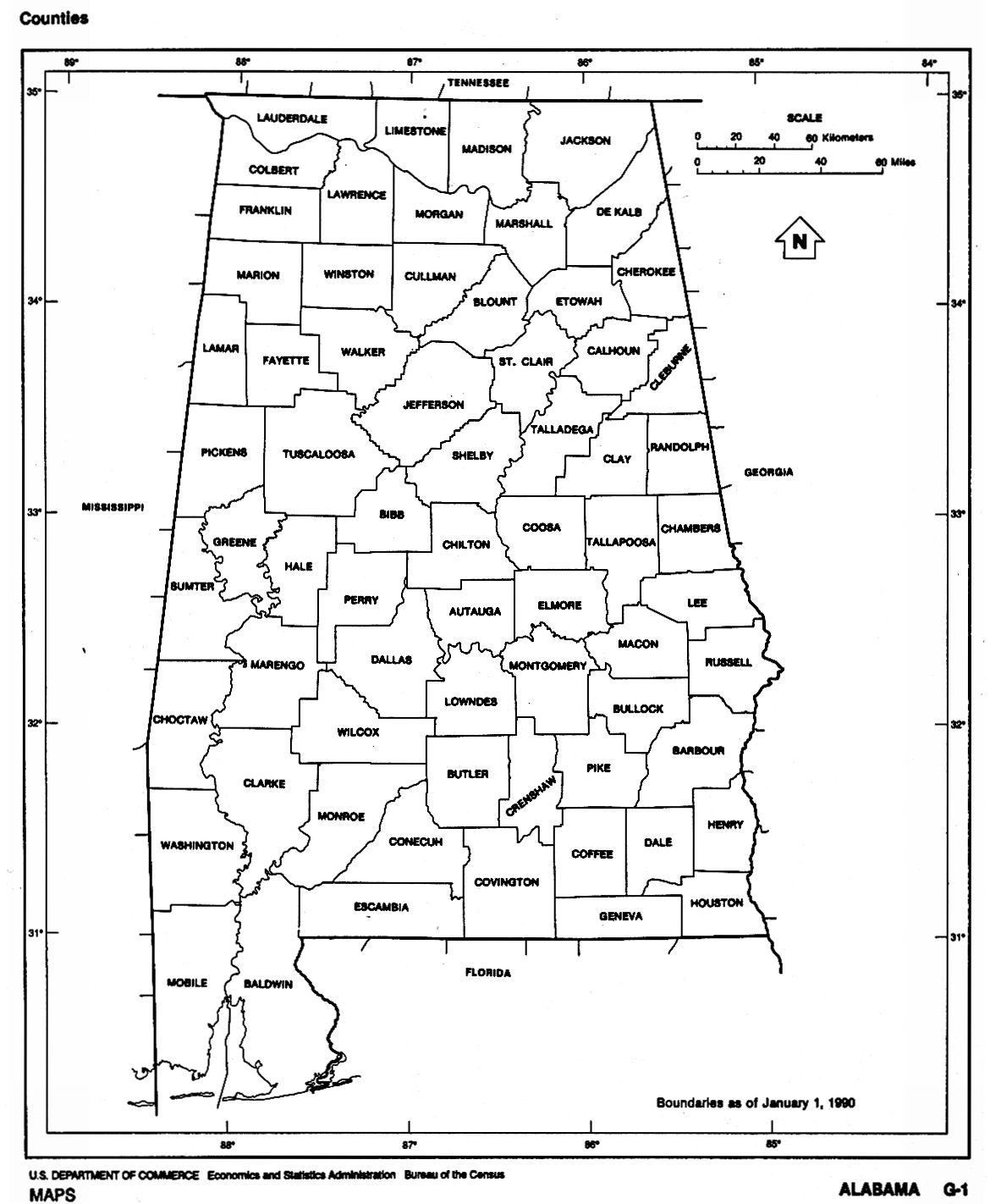
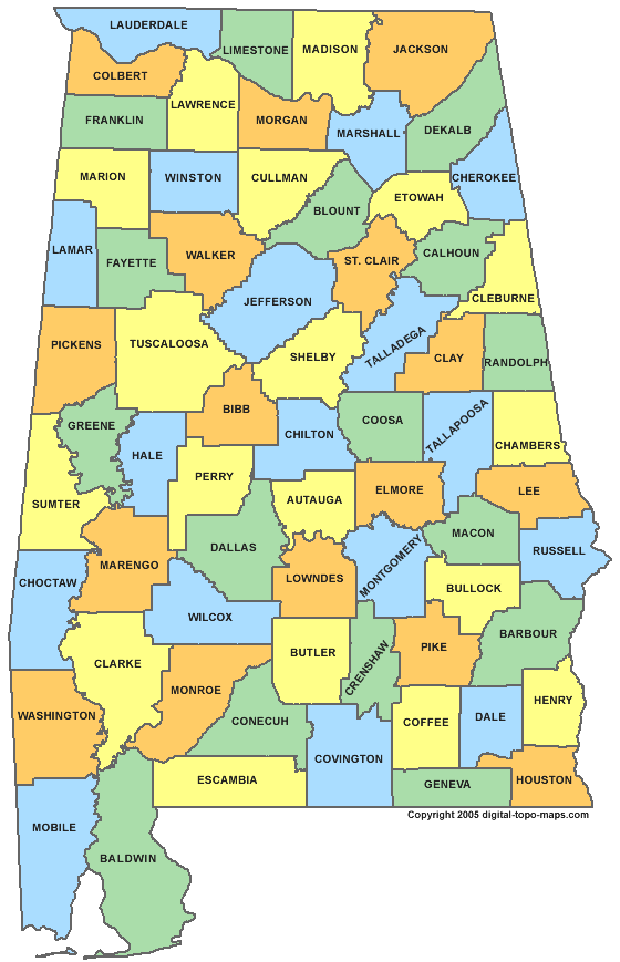
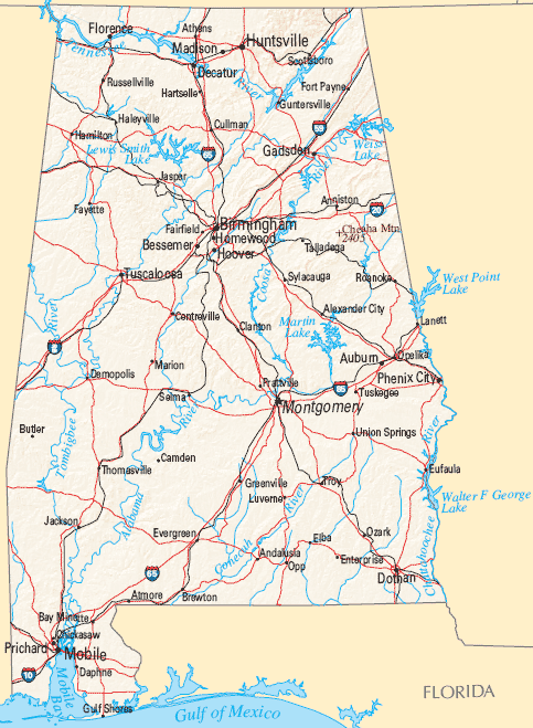
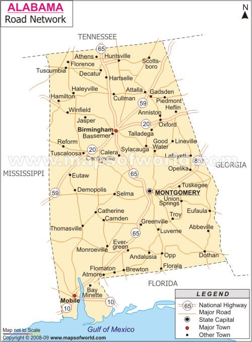
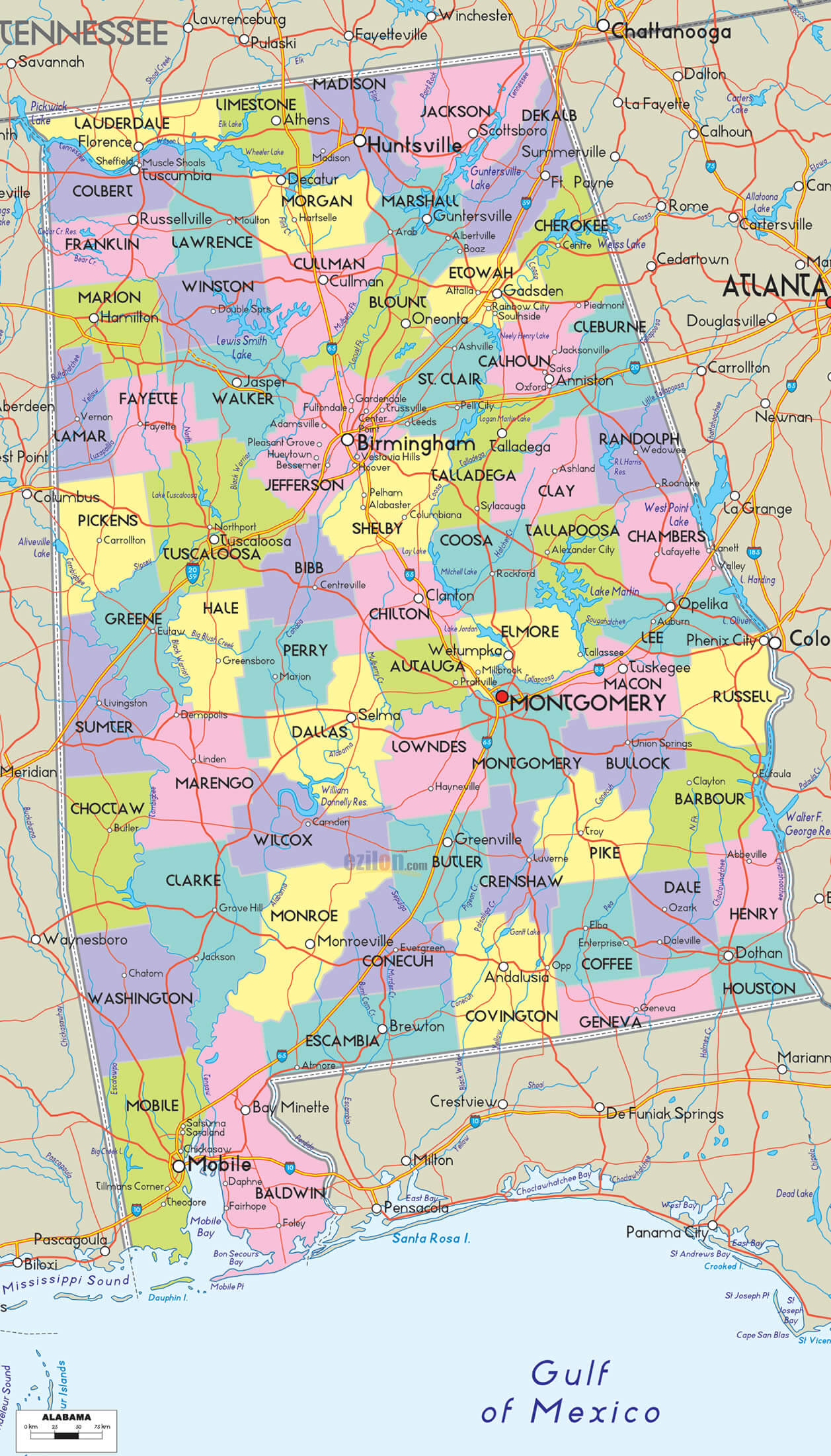
A collection of Alabama Maps
- Head of Performance Marketing
- Head of SEO
- Linkedin Profile: linkedin.com/in/arifcagrici
Largest Cities Map of Alaska and Population
Anchorage Map - 291,826 Hughes Map - 193,524 Huslia Map - 86,209 Hydaburg Map - 73,580 Hyder Map - 69,797 Igiugig Map - 67,263 Iliamna Map - 62,304 Ivanof Bay Map - 58,908 Juneau Map - 55,964 Kachemak Map - 49,083 Kake Map - 35,301 Badger Map - 19,482 Bethel Map - 6,080 Chena Ridge Map - 5,791 Barrow Map - 4,212
Address: Hakarinne 2 Espoo, 02100 Uusimaa - Finland
Email: [email protected]
Phone: +358 44 230 0982
Worldmap1.com Blog
Email: [email protected]
Phone: +358 44 230 0982
Worldmap1.com Blog
Copyright WorldMap1.com 2004 - 2025. All rights reserved. Privacy Policy | Disclaimer


