Slovakia Map
Discover Slovakia's natural beauty and cultural heritage with our map! Explore the country's stunning national parks, quaint towns, and charming castles with ease.
Slovakia's rich history, delicious cuisine, and friendly people await you. Use our map to explore the country's top attractions, including UNESCO World Heritage Sites, thermal spas, and outdoor adventure activities.

- Capital : Bratislava
- Population : 5,445,324
- GDP : $91.186 billion
- Per Capita : $16,726
- Calling Code : +421
- Jobless Rate : 14.40%
- Time Zone : +1
Where is located Slovakia on the Map
Slovakia is located in Central Europe, bordered by Poland to the north, Ukraine to the east, Hungary to the south, Austria to the southwest, and the Czech Republic to the northwest. You can view the location of Slovakia on a map at https://www.worldmap1.com/slovakia-map.asp
Slovakia is a beautiful country located in Central Europe, known for its stunning natural landscapes, rich history, and cultural heritage. From the picturesque towns and castles to the towering mountains and national parks, Slovakia has something for every traveler.
For more about Slovakia >>
MAP OF SLOVAKIA

WHERE IS SLOVAKIA IN THE WORLD

SLOVAKIA MAP GREAT MORAVIA SVATOPLUK
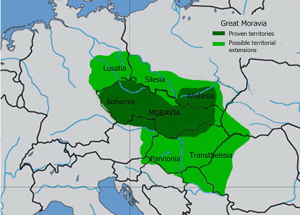
SLOVAKIA MAP 1943

TOPOGRAPHIC MAP OF SLOVAKIA

MAP OF SLOVAKIA EUROPE

MAP OF SLOVAKIA WORL

MAP OF SLOVAK

Brief information about Slovakia
Slovakia is a small landlocked country located in Central Europe, with a population of around 5.5 million people. The country covers an area of approximately 49,000 square kilometers and is bordered by Poland, Ukraine, Hungary, Austria, and the Czech Republic.A Collection of Slovakia Maps and Slovakia Satellite Images
MAP OF SLOVAKIA
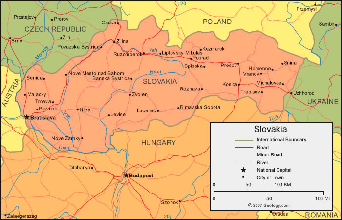
WHERE IS SLOVAKIA IN THE WORLD

SLOVAKIA MAP GREAT MORAVIA SVATOPLUK

SLOVAKIA MAP 1943

TOPOGRAPHIC MAP OF SLOVAKIA

MAP OF SLOVAKIA EUROPE

MAP OF SLOVAKIA WORLD
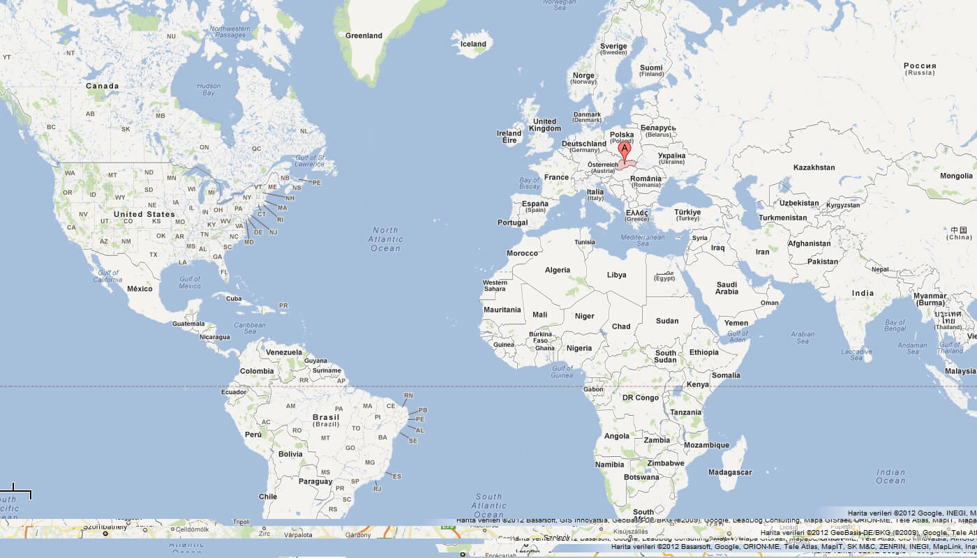
MAP OF SLOVAKIA

MAP SLOVAKIA
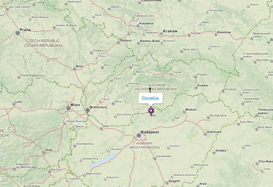
SLOVAKIA CITIES MAP

SLOVAKIA MAP

SLOVAKIA POLITICAL MAP
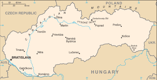
SLOVAKIA MAP
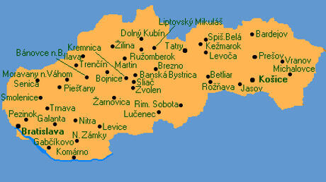
SLOVAKIA MAP

SLOVAKIA MAP
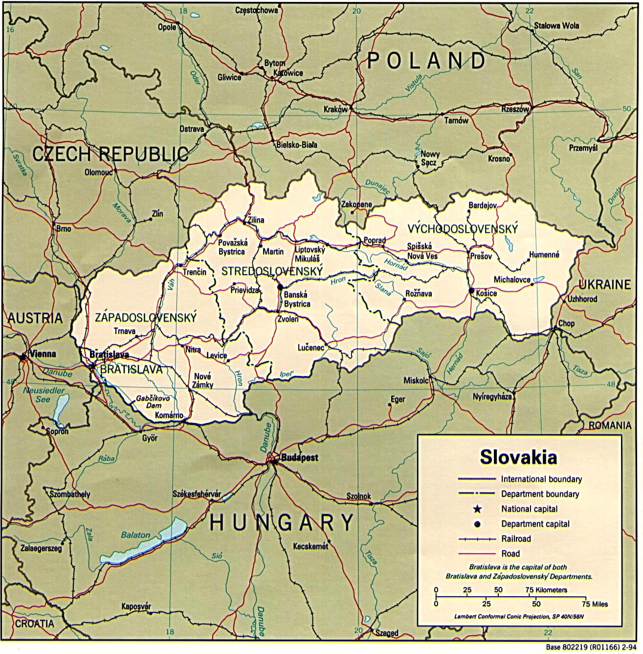
SLOVAKIA REGIONS MAP

SLOVAKIA EARTH MAP

- Head of Performance Marketing
- Head of SEO
- Linkedin Profile: linkedin.com/in/arifcagrici
Address: Hakarinne 2 Espoo, 02100 Uusimaa - Finland
Email: [email protected]
Phone: +358 44 230 0982
Worldmap1.com Blog
Email: [email protected]
Phone: +358 44 230 0982
Worldmap1.com Blog
Copyright WorldMap1.com 2004 - 2025. All rights reserved. Privacy Policy | Disclaimer

