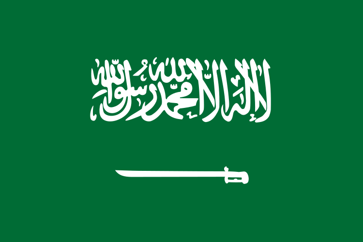
Saudi Arabia Map
Discover the location of Saudi Arabia with our interactive map! Explore the country's diverse terrain, culture, and history. Uncover the mysteries of Saudi Arabia's past and present with Saudi Arabia detailed map. Learn about its ancient cities, Islamic heritage, and modern-day wonders.
Saudi Arabia Map FQA
How many cities are in Saudi Arabia ?
Saudi Arabia has more than 10 major cities. The largest by population are: Riyadh; Jeddah; Mecca; Medina; Dammam; Khobar; Dhahran; Tabuk; Buraidah; Abha.What are the major geographical features of Saudi Arabia ?
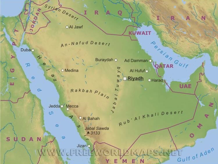
Saudi Arabia occupies most of the Arabian Peninsula and is dominated by vast deserts such as the Rub’ al Khali (Empty Quarter) and An Nafud. It also has mountain ranges like the Asir, coastal plains, and large plateaus.MAP OF SAUDI ARABIA
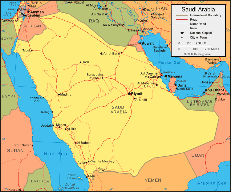
SAUDI ARABIA OIL GAS INFRASTRUCTURE PERSIAN GULF
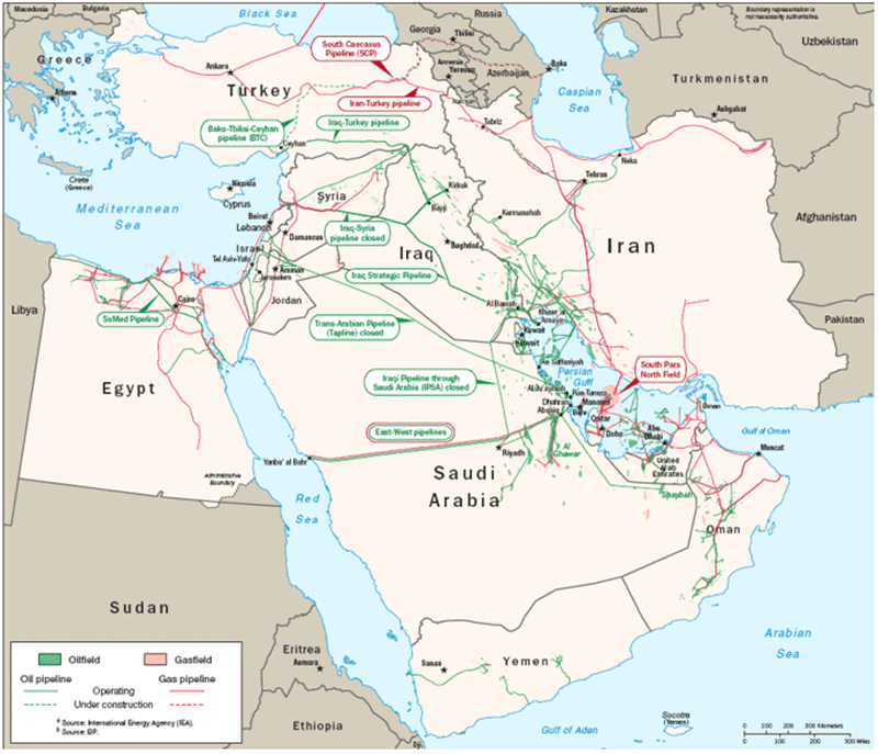
SAUDI ARABIA MAJOR CITIES MAP
Can I download a high-resolution map of Saudi Arabia ?
Yes. Download high-resolution political and physical maps of Saudi Arabia for personal or educational use. Redistribution is subject to the terms of our license.Where is located Saudi Arabia on the Map
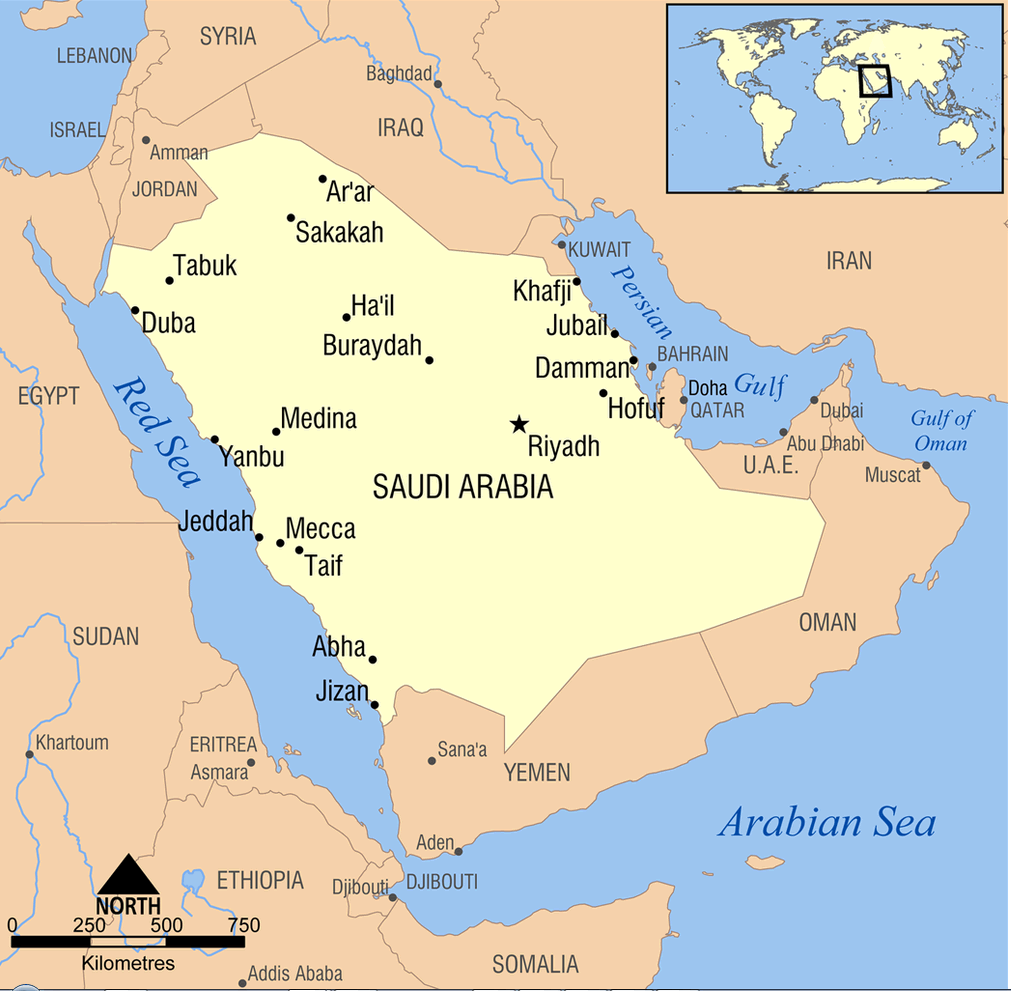
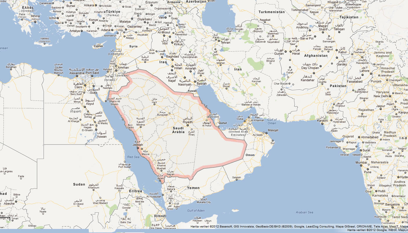
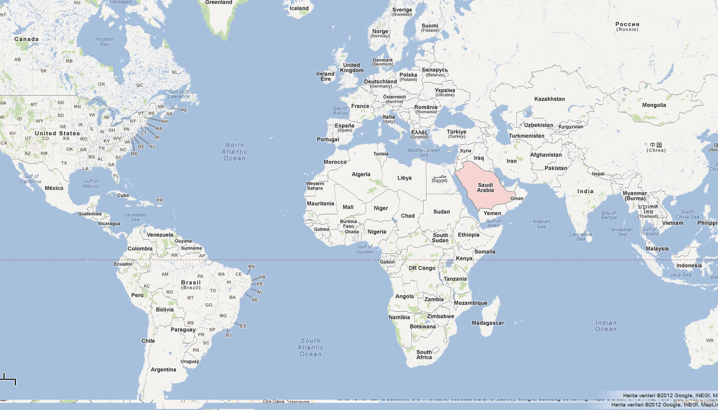
Saudi Arabia is located in the Middle East, bordering the Persian Gulf and the Red Sea. It is the largest country in the Arabian Peninsula and the fifth largest country in Asia.
Here you can explore the geography of Saudi Arabia, a country located in the Middle East, spanning the Arabian Peninsula. Saudi Arabia is the largest country in the Middle East and is bordered by Jordan, Iraq, Kuwait, Qatar, Bahrain, the United Arab Emirates, Oman, and Yemen. The country is known for its vast deserts, historic landmarks, and religious significance. This page provides an interactive map of Saudi Arabia, allowing you to explore the country's different regions, cities, and landmarks.
For more about Saudi Arabia >>
From Riyadh to Jeddah: Guide to Saudi Arabia's Largest Cities
Please subscribe on "World Guide" channnel on Youtube at youtube.com/c/WorldGuide
Brief information about Saudi Arabia
Saudi Arabia is a country located in the Middle East. It covers a land area of approximately 2.15 million square kilometers and has a population of around 34 million people, with a majority of the population living in urban areas. The country is known for its rich history, including being the birthplace of Islam and home to some of the world's oldest civilizations.A Collection of Saudi Arabia Maps and Saudi Arabia Satellite Images
MAP OF SAUDI ARABIA
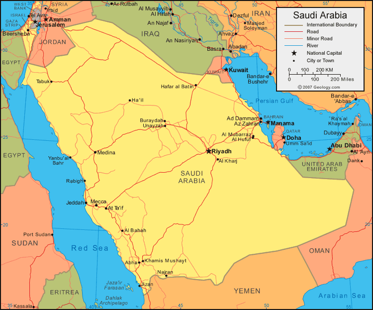
SAUDI ARABIA OIL GAS INFRASTRUCTURE PERSIAN GULF

SAUDI ARABIA MAJOR CITIES MAP

WHERE IS SAUDI ARABIA IN THE WORLD
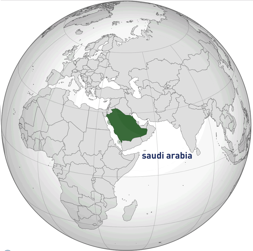
MAP OF SAUDI ARABIA MIDDLE EAST
MAP OF SAUDI ARABIA WORLD
MAP OF SAUDI ARABIA
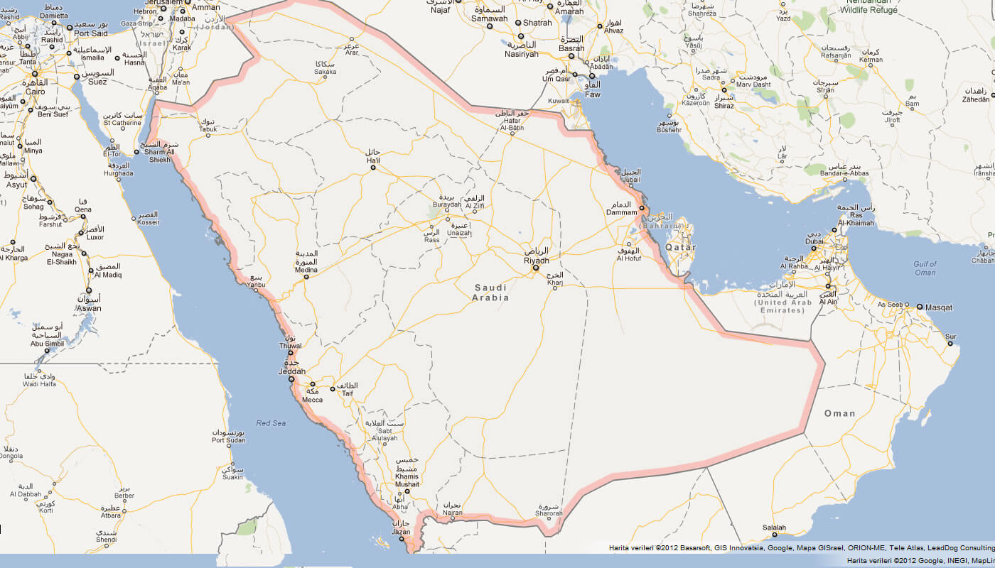
MAP SAUDI ARABIA
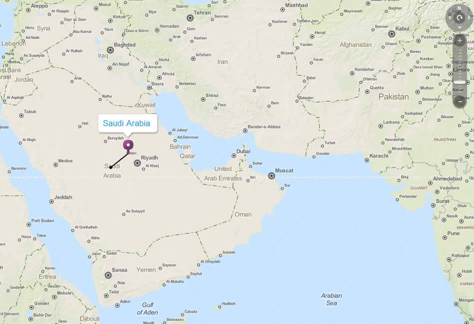
PHYSICAL MAP OF SAUDI ARABIA
POLITICAL MAP OF SAUDI ARABIA
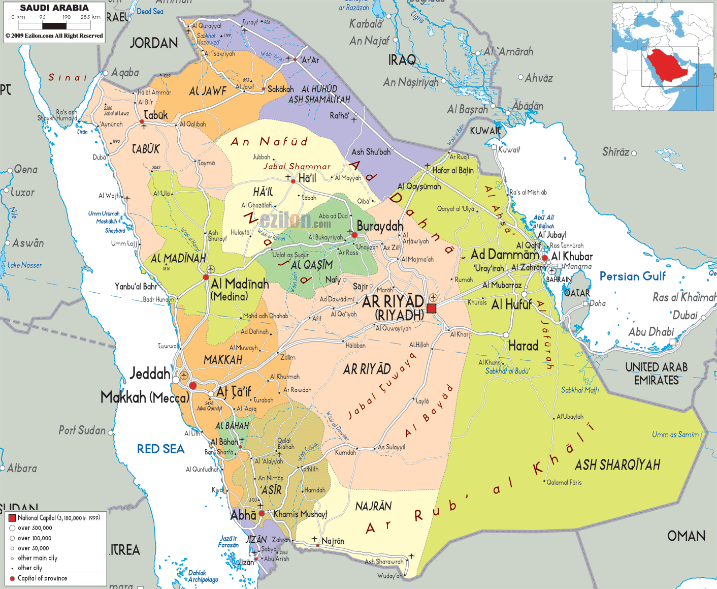
POLITICAL MAP OF SAUDI ARABIA
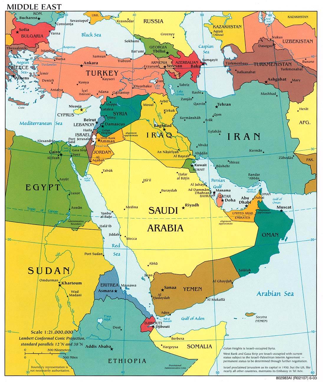
REGIONAL MAP OF SAUDI ARABIA
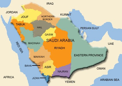
RELIEF AND ROAD MAP OF SAUDI ARABIA
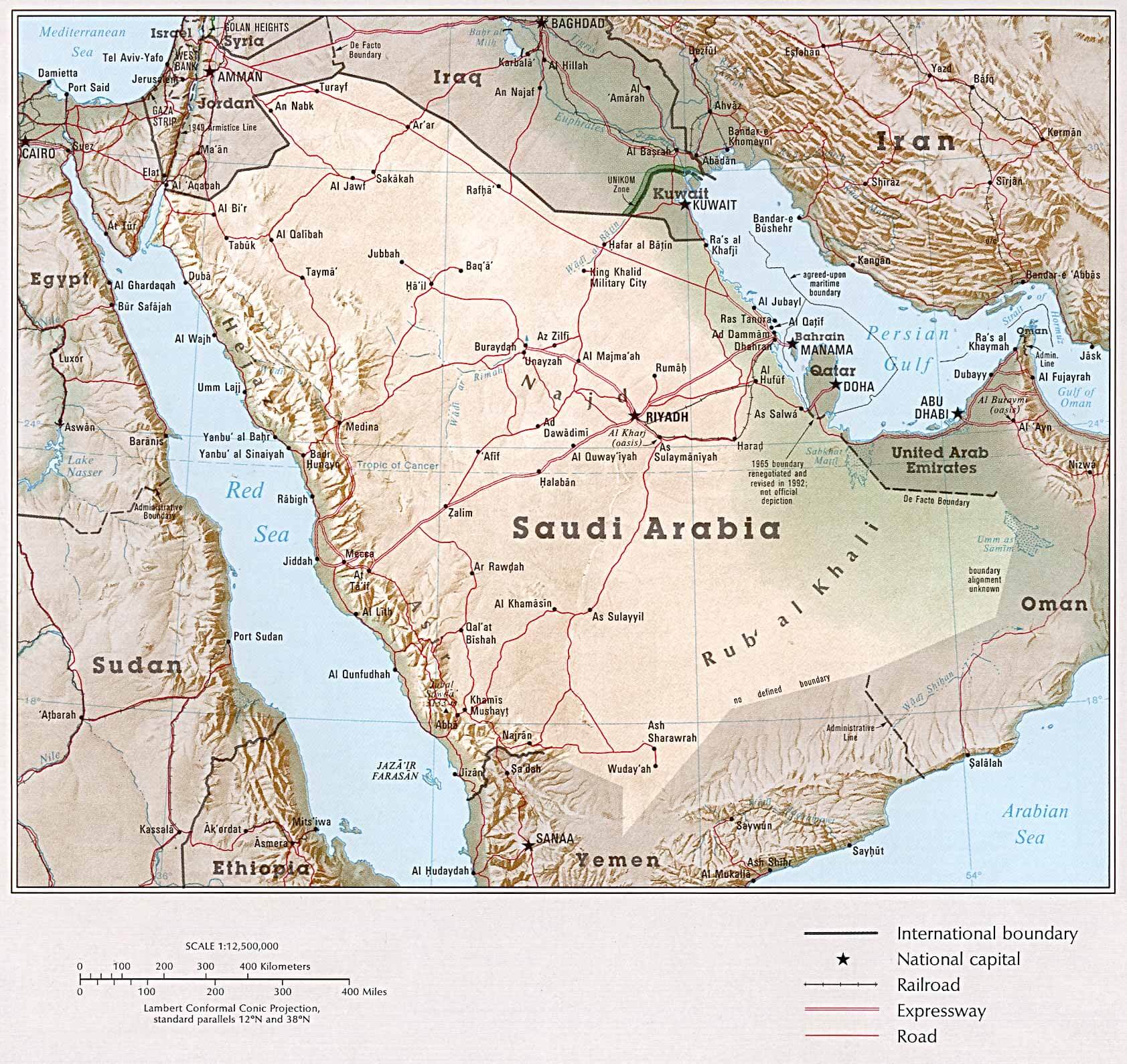
SAUDI ARABIA MAP
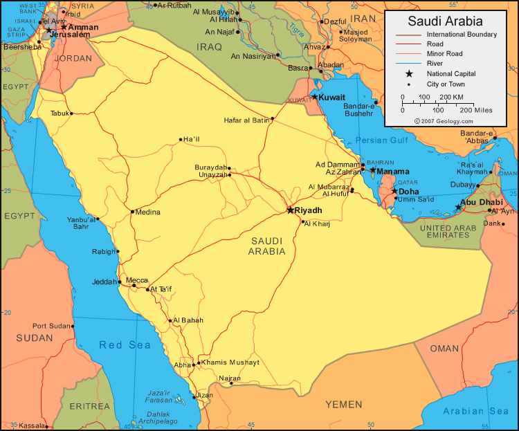
SAUDI ARABIA POLITICAL MAP
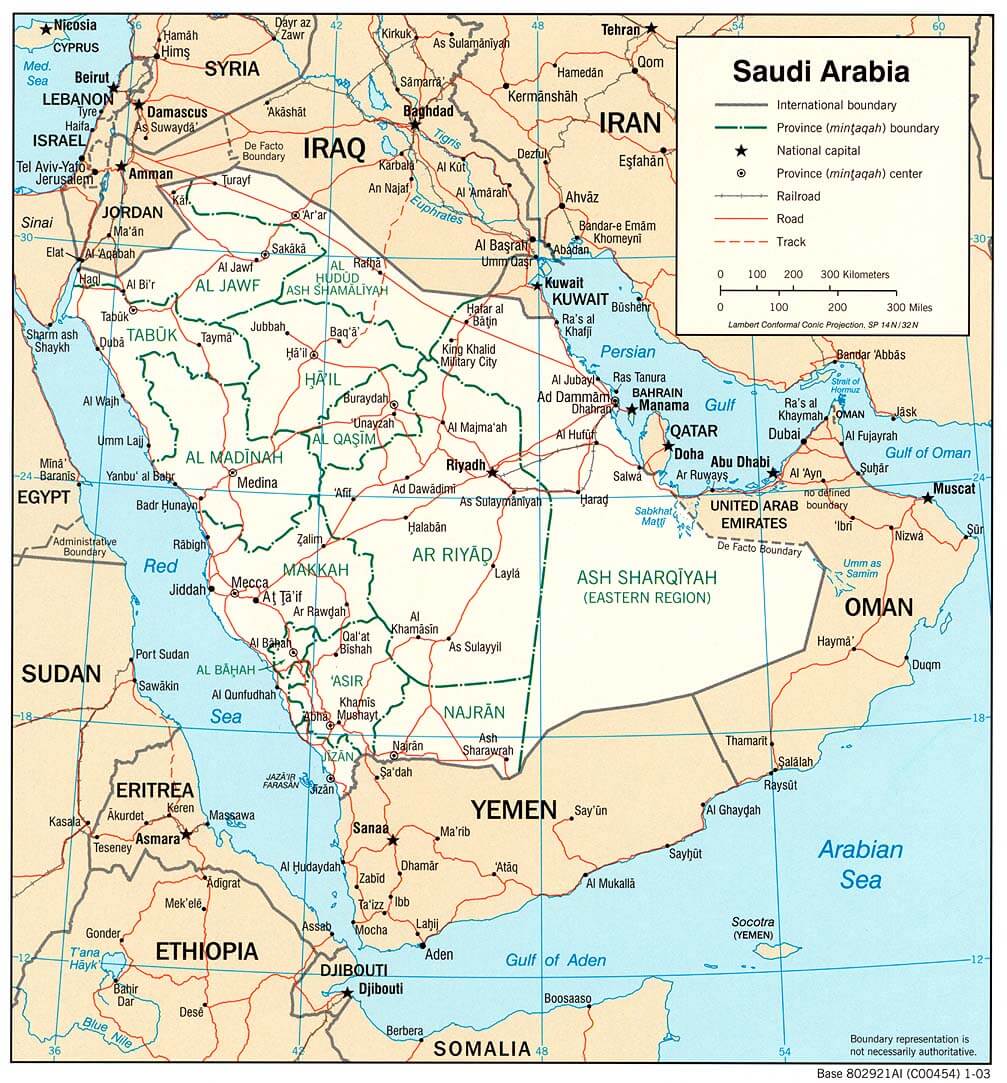
SAUDI ARABIA ROAD MAP
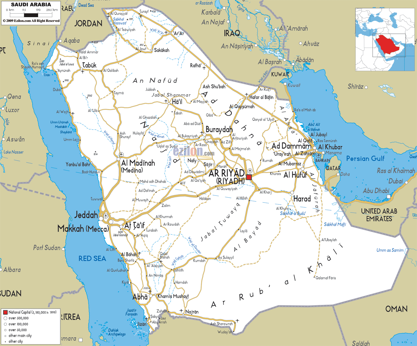
SAUDI ARABIA MAP MIDDLE EAST
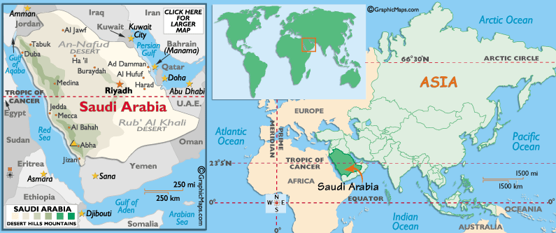
SAUDI ARABIA MAP
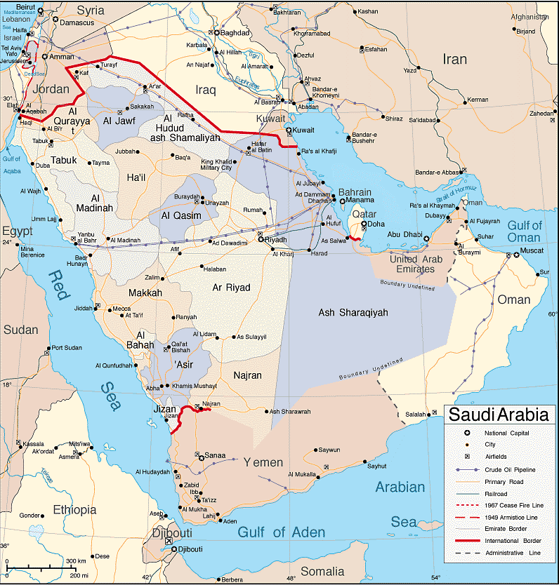
SAUDI ARABIA POLITICAL MAP
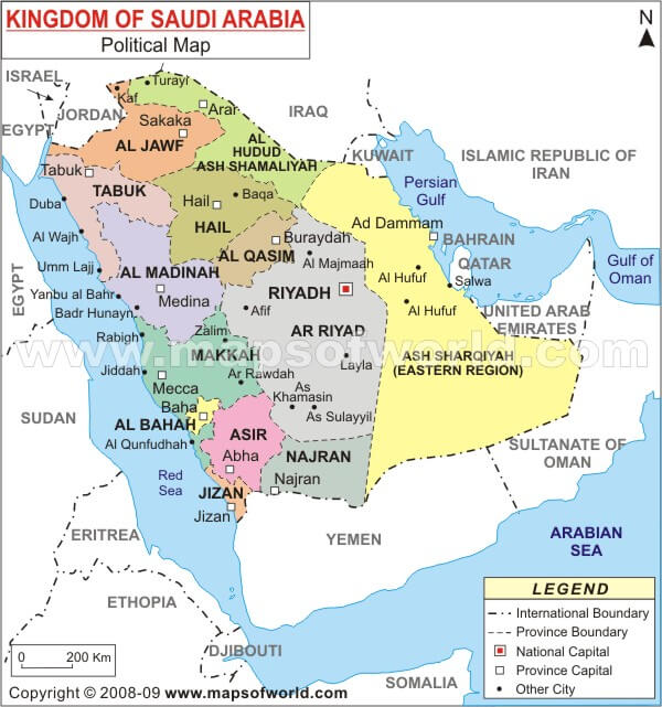
SAUDI ARABIA CITIES MAP
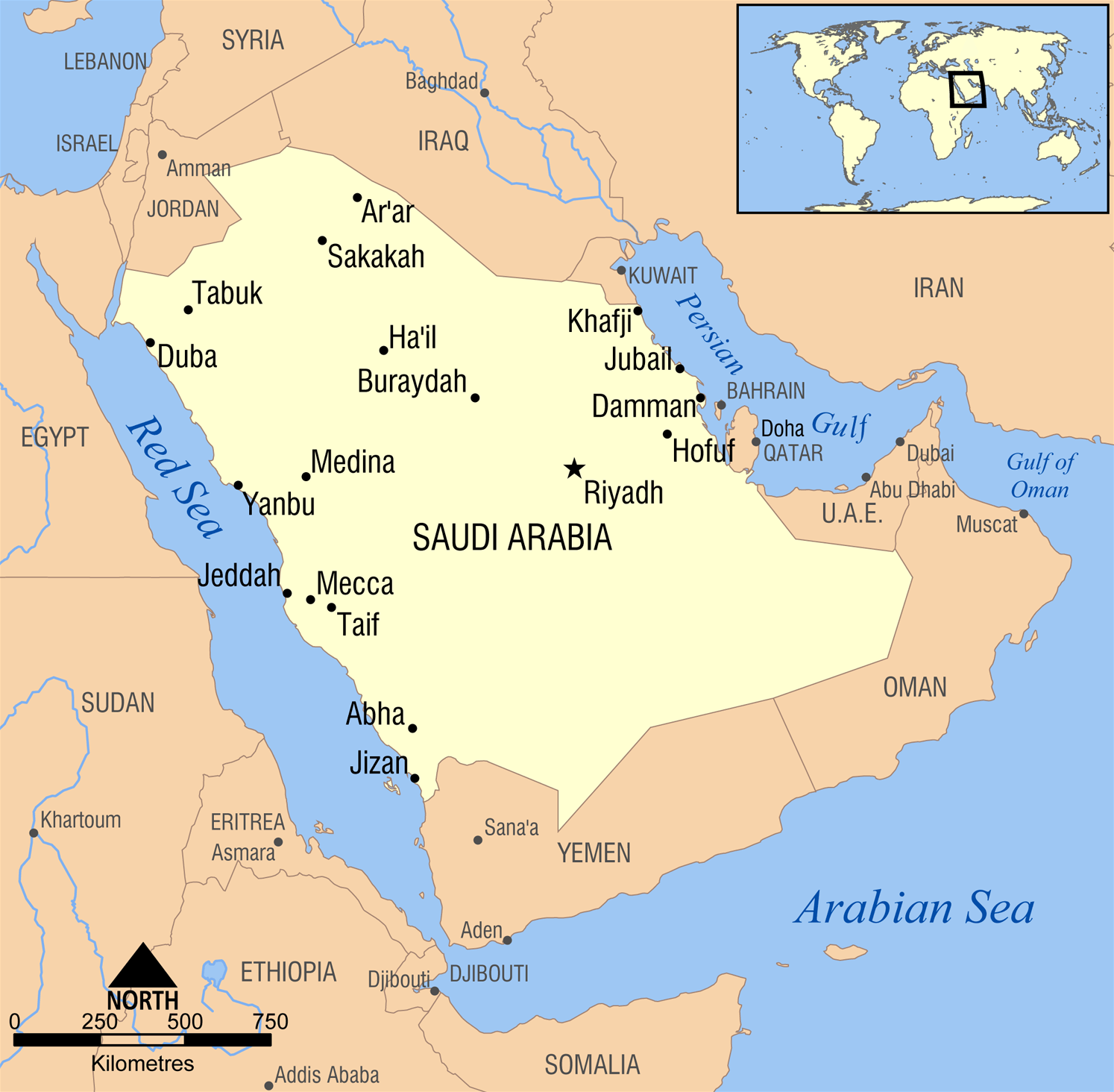
SAUDI ARABIA MAP
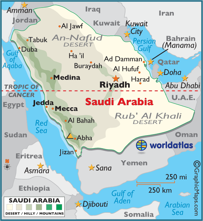
SAUDI ARABIA MAP PHYSICAL MAP
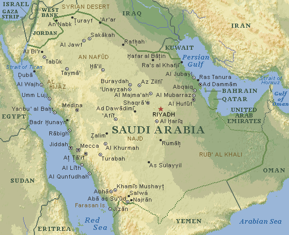
SAUDI ARABIA OIL PIPELINE MAP
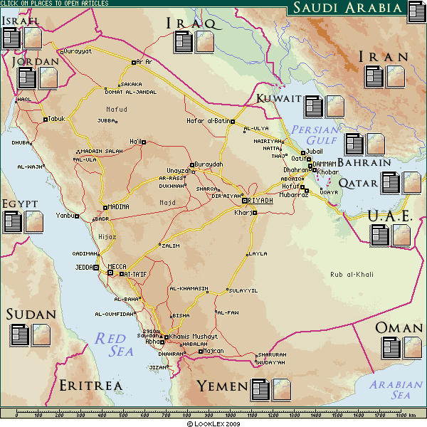
SAUDI ARABIA POLITICAL MAP
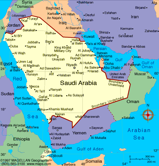
SAUDI ARABIA REGIONS MAP
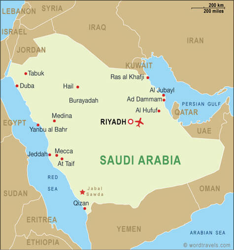
SAUDI ARABIA RELIEF MAP

SAUDI ARABIA EARTH MAP
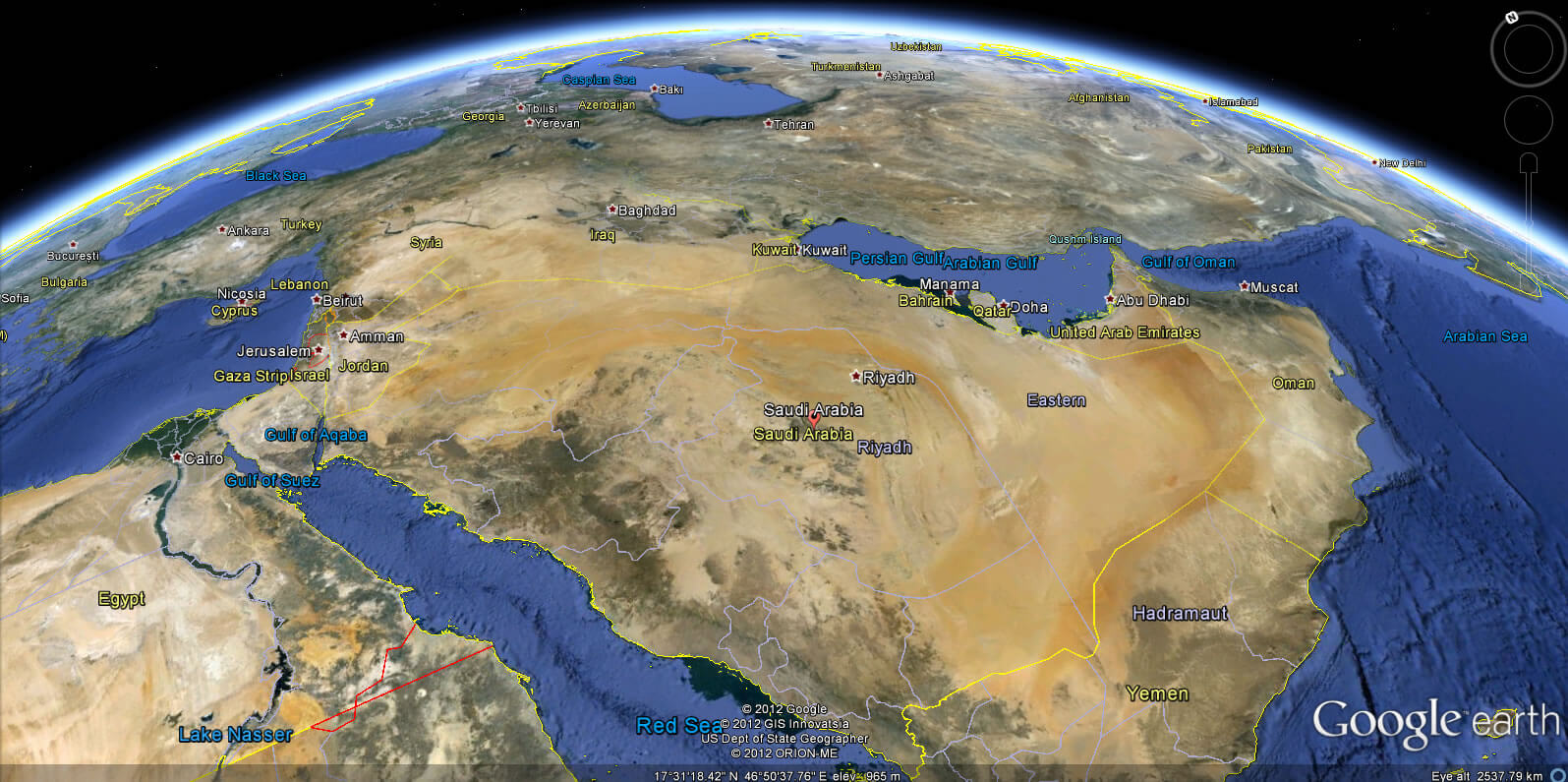
- Head of Performance Marketing
- Head of SEO
- Linkedin Profile: linkedin.com/in/arifcagrici


