Morocco Map
Explore the beauty and diversity of Morocco through Morocco comprehensive map. Discover top cities, natural landmarks, and more. Dive deep into the geography of this North African gem."
Navigate Morocco's diverse landscapes from the Atlantic coast to the Sahara Desert with Morocco detailed interactive map. Ideal for travelers, students, and geography enthusiasts.

- Capital : Rabat
- Population : 32,644,370
- GDP : $99.241 billion (60th)
- Per Capita : $3,083 (120th)
- Calling Code : +212
- Jobless Rate : 9.40%
- Time Zone : +0
Where is located Morocco on the Map
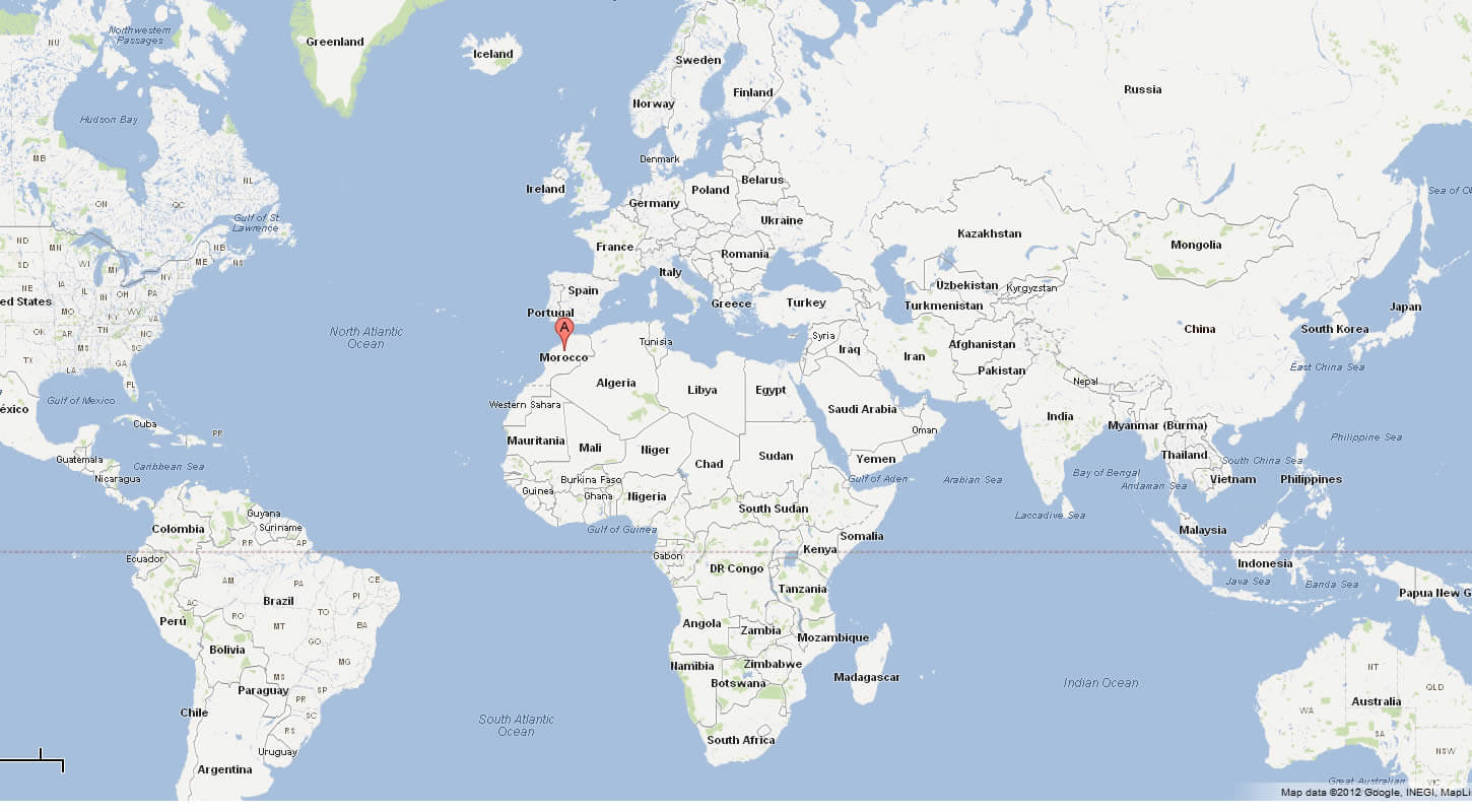
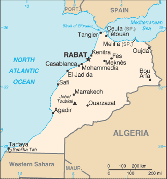
Morocco is located in North Africa. It is bordered by the Atlantic Ocean and the Mediterranean Sea to the west and north respectively. On land, it shares borders with Algeria to the east and southeast, and Western Sahara to the south.
In terms of global coordinates, the country is situated between latitudes 20° and 36° N, and longitudes 1° and 15° W. It's notable for its varied geography, including coastal plains, mountain ranges (the Atlas and Rif Mountains), and a portion of the Sahara Desert.
The country's strategic location near the tip of North Africa makes it a crossroads between Europe and Africa, and its proximity to the Strait of Gibraltar, which is a key navigational point, lends it significant geopolitical importance. The capital city of Morocco is Rabat, while its largest city is Casablanca. Other important cities include Marrakesh, Fes, and Tangier.
Top 10 Unmissable Attractions in Casablanca for Every Traveler
Please subscribe on "World Guide" channnel on Youtube at youtube.com/c/WorldGuide
Top 10 Must-Visit Spots For Marrakech Traveler
For more about Morocco >>
MAP OF MOROCCO

MOROCCO MAP WESTERN SAHARA
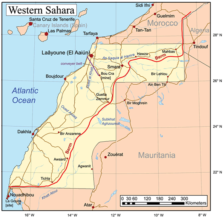
Brief information about Morocco
Morocco, officially known as the Kingdom of Morocco, is a country located in North Africa. It's bordered by the Atlantic Ocean and Mediterranean Sea to the west and north, and by Algeria to the east and southeast. It also shares a border with the disputed territory of Western Sahara to the south.Area & Population
Morocco covers an area of approximately 446,550 square kilometers (172,410 square miles), making it somewhat larger than California in the United States. As of 2023, the population of Morocco is estimated to be about 37 million people.Demographics
Morocco is rich in cultural diversity with Arab, Berber, and French influences. The two official languages are Arabic and Amazigh (Berber), but French is widely spoken in business and government. About 99% of the population is Sunni Muslim, with small communities of Christians and Jews.History
Morocco's history is deeply intertwined with its Berber, Arab, and French influences. It was first inhabited by Berber tribes and later by Phoenicians and then Romans. In the 7th century, it became part of the Islamic Empire. In the 20th century, Morocco was a French and Spanish protectorate until it regained independence in 1956.Economy
Morocco's economy is considered diverse, stable, and growing. It's the world's largest exporter of phosphates and also has significant industries in textiles, agriculture, and tourism. In recent years, Morocco has invested significantly in renewable energy, particularly solar power, with the aim of making renewable sources a significant part of its energy mix.Geography
The geography of Morocco is varied, from the high peaks of the Atlas Mountains, the lush river valleys, the rich plains of its coastal regions, to the arid landscapes of the Sahara Desert. The country's capital is Rabat, while the largest city is Casablanca. Other major cities include Marrakesh, Fes, and Tangier.A Collection of Morocco Maps and Morocco Satellite Images
MAP OF MOROCCO

WHERE IS MOROCCO IN THE WORLD

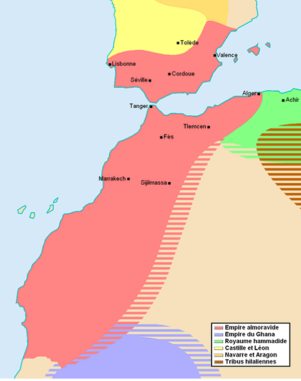
MOROCCO EMPIRE MAP 1120
MOROCCO MAP WESTERN SAHARA

CITIES MAP OF MOROCCO

MAP OF MOROCCO AFRICA

MAP OF MOROCCO WORLD
MAP OF MOROCCO

MAP MOROCCO

MOROCCO MAP
MOROCCO MAP MARRAKECH
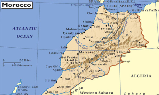
MOROCCO MAP WORLD

MOROCCO MAP

MOROCCO CITIES MAP

MOROCCO MAP

MOROCCO PHYSICAL MAP

MOROCCO POLITICAL MAP

MOROCCO POLITICAL MAP

PHYSICAL MAP OF MOROCCO
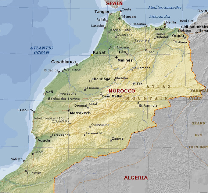
PHYSICAL MAP OF MOROCCO

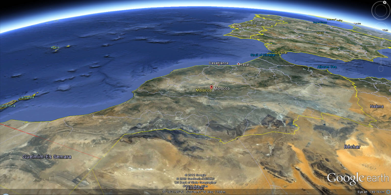
MOROCCO EARTH MAP
- Head of Performance Marketing
- Head of SEO
- Linkedin Profile: linkedin.com/in/arifcagrici
Address: Hakarinne 2 Espoo, 02100 Uusimaa - Finland
Email: [email protected]
Phone: +358 44 230 0982
Worldmap1.com Blog
Email: [email protected]
Phone: +358 44 230 0982
Worldmap1.com Blog
Copyright WorldMap1.com 2004 - 2025. All rights reserved. Privacy Policy | Disclaimer

