Cameroon Map
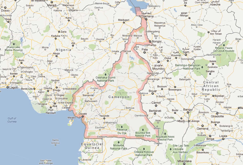
Discover Cameroon's location and neighboring countries with map of Cameroon. Plan your next adventure with Cameroon map, showcasing the country's stunning landscapes and natural wonders.
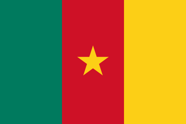
- Capital : Yaounde
- Population : 20,129,878
- GDP : $25.759 billion
- Per Capita : $1,230
- Calling Code : +237
- Jobless Rate : 3.80%
- Time Zone : +1
Where is located Cameroon on the Map
Cameroon is located in Central Africa, bordered by Nigeria to the west, Chad to the northeast, the Central African Republic to the east, Gabon, Equatorial Guinea, and the Republic of the Congo to the south, and the Gulf of Guinea to the southwest.
Cameroon is a West African country that offers a diverse array of landscapes, including rainforests, savannas, mountains, and coastline along the Gulf of Guinea. It shares borders with Nigeria, Chad, Central African Republic, Congo, Gabon, and Equatorial Guinea. Cameroon is home to over 250 different ethnic groups, making it a culturally rich and vibrant country. Its economy is largely based on agriculture, oil, and natural gas. The official languages are English and French, reflecting Cameroon's colonial history. Come explore Cameroon on our interactive map and learn more about this fascinating country!
For more about Cameroon >>
MAP OF CAMEROON

CAMEROON LOCATION MAP

WHERE IS CAMEROON IN THE WORLD

CAMEROON MAP YAOUNDE

CAMEROON MAP

CAMEROON PHYSICAL MAP
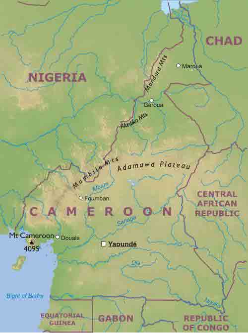
CAMEROON POLITIC MA

CAMEROON REGIONAL M

Brief information about Cameroon
Cameroon is a country located in Central Africa, bordered by Nigeria to the west, Chad to the northeast, the Central African Republic to the east, Equatorial Guinea, Gabon, and the Republic of the Congo to the south. With an area of 475,442 square kilometers (183,569 square miles), it is the 53rd largest country in the world. As of 2021, the population of Cameroon is estimated to be around 27.2 million people, making it the 53rd most populous country in the world.A Collection of Cameroon Maps and Cameroon Satellite Images
MAP OF CAMEROON
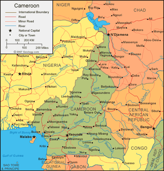
CAMEROON LOCATION MAP

WHERE IS CAMEROON IN THE WORLD

CAMEROON MAP YAOUNDE

CAMEROON MAP

CAMEROON PHYSICAL MAP

CAMEROON POLITIC MAP

CAMEROON REGIONAL MAP

CAMEROON MAP AFRICA
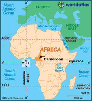
CAMEROON POLITICAL MAP

MAP OF CAMEROON AFRICA

MAP OF CAMEROON WORLD

MAP OF CAMEROON
MAP CAMEROON

PHYSICAL CAMEROON MAP

POLITICAL MAP OF CAMEROON

CAMEROON EARTH MAP

- Head of Performance Marketing
- Head of SEO
- Linkedin Profile: linkedin.com/in/arifcagrici
Address: Hakarinne 2 Espoo, 02100 Uusimaa - Finland
Email: [email protected]
Phone: +358 44 230 0982
Worldmap1.com Blog
Email: [email protected]
Phone: +358 44 230 0982
Worldmap1.com Blog
Copyright WorldMap1.com 2004 - 2025. All rights reserved. Privacy Policy | Disclaimer

