Burundi Map
Explore the heart of Africa with Burundi map. Discover the beautiful landscapes and natural wonders that make Burundi a unique travel destination.

- Capital : Bujumbura
- Population : 8,749,000
- GDP : $2.356 billion
- Per Capita : $279
- Calling Code : +257
- Jobless Rate : 35.00%
- Time Zone : +2
Where is located Burundi on the Map
Burundi is located in East Africa, bordered by Rwanda to the north, Tanzania to the east and south, and the Democratic Republic of Congo to the west.
Here, you can explore the geography and location of Burundi, a small landlocked country in East Africa. On this map, you can easily locate Burundi's major cities, roads, and topographical features.
Burundi is a country of great natural beauty, with rolling hills, lush forests, and pristine lakes. It is home to a rich diversity of flora and fauna, including many rare and endangered species. Burundi also has a fascinating history and culture, shaped by centuries of migration, trade, and conflict.
For more about Burundi >>
MAP OF BURUNDI

BURUNDI LOCATION MAP
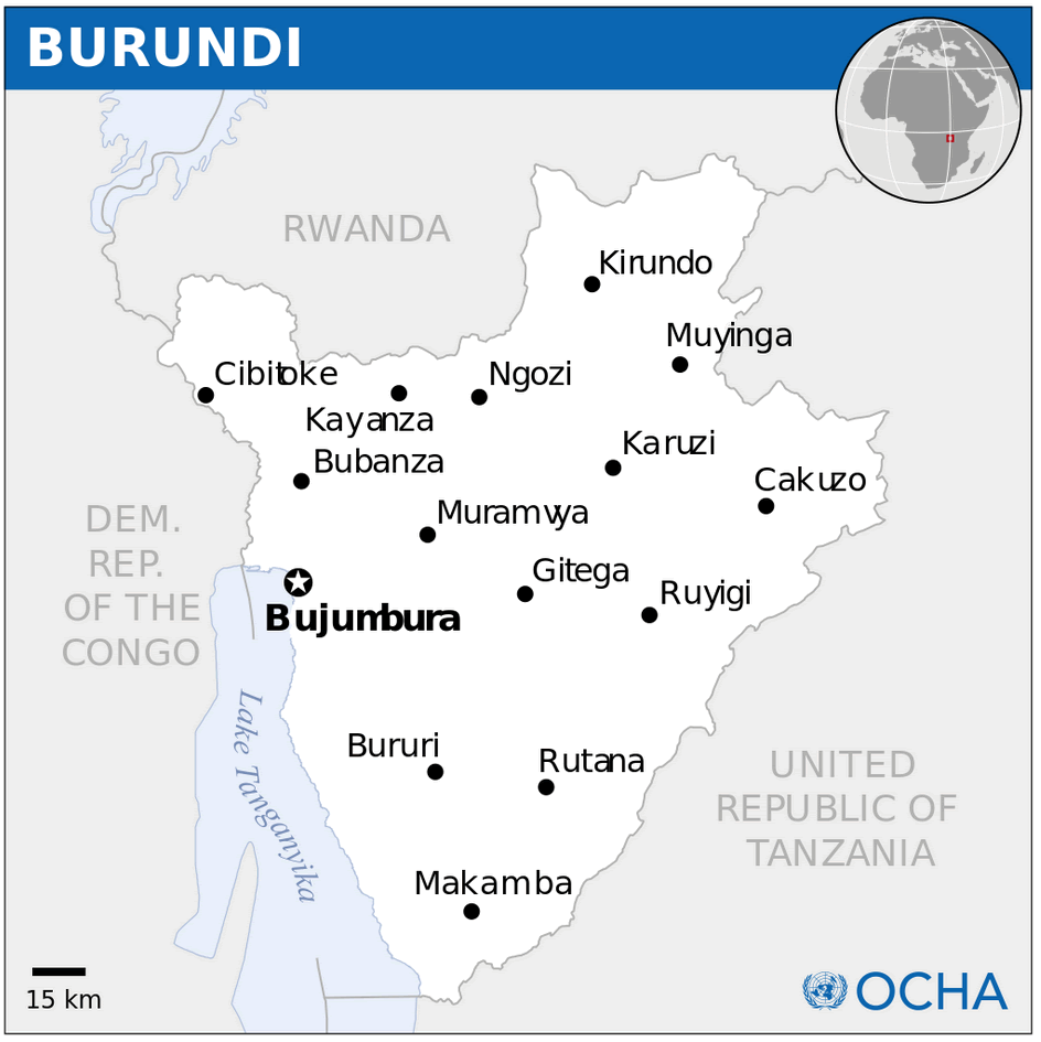
WHERE IS BURUNDI IN THE WORLD

BURUNDI MAP

BURUNDI MAP

BURUNDI MAP AFRICA

BURUNDI POLITIC MA

MAP OF BURUNDI AFRI
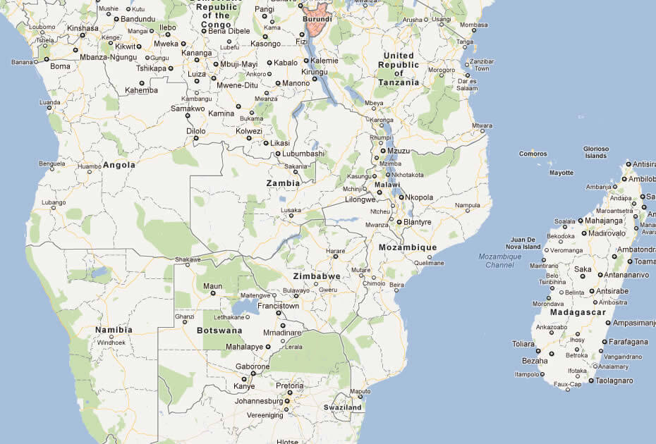
Brief information about Burundi
Here is some statistical information about Burundi:A Collection of Burundi Maps and Burundi Satellite Images
MAP OF BURUNDI

BURUNDI LOCATION MAP

WHERE IS BURUNDI IN THE WORLD

BURUNDI MAP
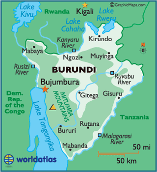
BURUNDI MAP

BURUNDI MAP AFRICA

BURUNDI POLITIC MAP

MAP OF BURUNDI AFRICA

MAP OF BURUNDI WORLD
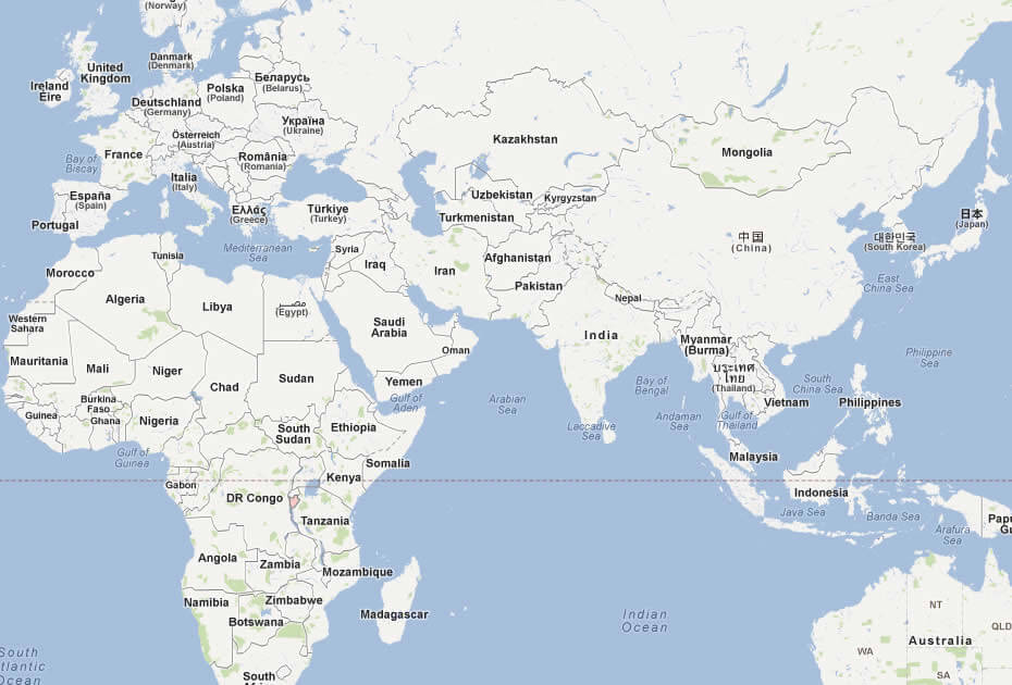
MAP OF BURUNDI

MAP BURUNDI

POLITICAL MAP OF BURUNDI

POLITICAL BURUNDI MAP
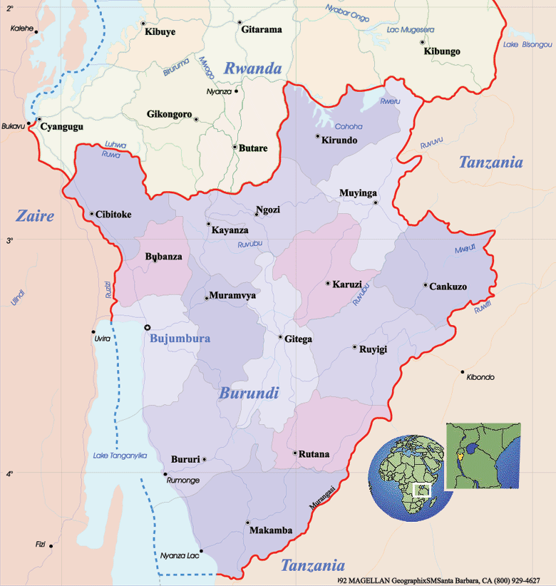
BURUNDI EARTH MAP

- Head of Performance Marketing
- Head of SEO
- Linkedin Profile: linkedin.com/in/arifcagrici
Address: Hakarinne 2 Espoo, 02100 Uusimaa - Finland
Email: [email protected]
Phone: +358 44 230 0982
Worldmap1.com Blog
Email: [email protected]
Phone: +358 44 230 0982
Worldmap1.com Blog
Copyright WorldMap1.com 2004 - 2025. All rights reserved. Privacy Policy | Disclaimer

